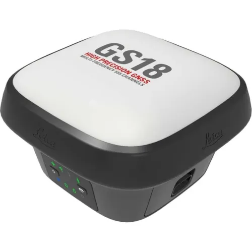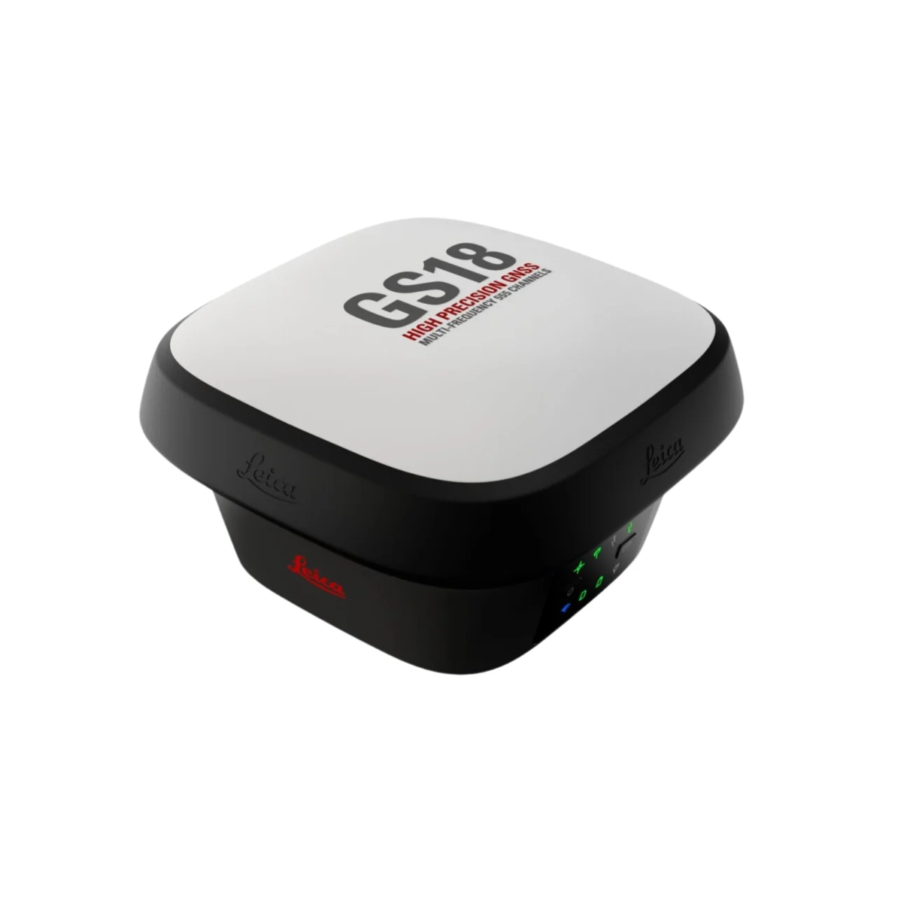
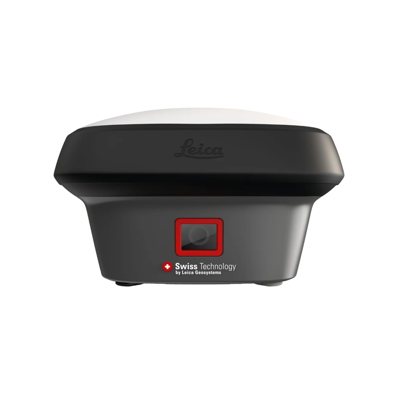
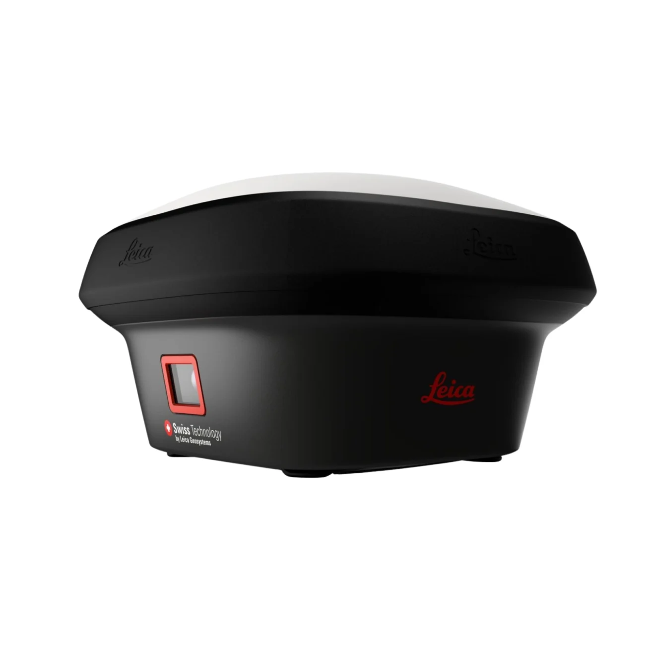
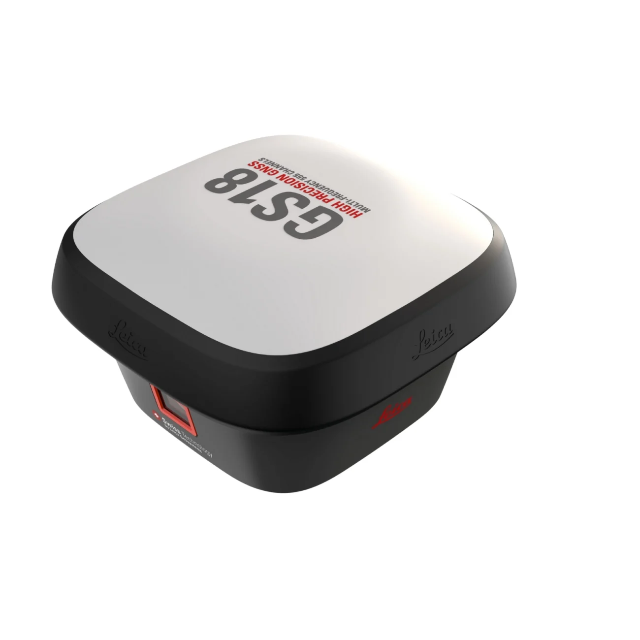
The Leica GS18i is an intelligent GNSS RTK rover designed to capture accurate positioning data in complex and hard-to-reach environments. With integrated visual positioning and advanced IMU-based tilt compensation, it allows professionals to measure points efficiently without pole leveling or direct access. GS18i enhances productivity, safety, and data confidence across surveying, mapping, and construction workflows while seamlessly integrating into the Leica Geosystems ecosystem.
Measure what you see

Visual Positioning Technology
Leica GS18 I is a survey-grade GNSS RTK rover designed to expand what can be measured in the field. It enables professionals to capture images of the site and measure points directly from those images with survey-grade accuracy.
As a result, points can be measured either immediately in the field or later in the office. This approach reduces the need to physically reach each point and allows greater flexibility during data collection. For the GS18 I, the “I” represents imaging.
Visual Positioning is created through the fusion of GNSS, IMU, and camera sensors. Together, these technologies allow users to measure what they see. In addition, Leica GS18 I includes all the functionality of the GS18 T. Users can map points using either a tilted or levelled pole, depending on site conditions.
- Measure points more efficiently in areas with an obstructed view of the sky.
- Capture points that were previously difficult to reach with a GNSS rover.
- Gain greater flexibility and control without the need for additional time-consuming equipment.
- Map hundreds of points with survey-grade accuracy within minutes.
- Capture the scene quickly and decide later what should be measured, even if the scene changes or is no longer accessible.
- Select points directly on an image to measure them in the field or in the office.
- Work quickly and thoroughly to ensure every detail is captured.

Innovative
Leica GS18 I is an accurate and easy-to-use GNSS RTK rover that combines advanced Visual Positioning technology with seamless integration of GNSS, IMU, and a camera. This intelligent fusion allows professionals to measure points with survey-grade accuracy directly from images, whether working in the field or later in the office. In addition, captured images can be used to generate point clouds in Leica Infinity, further extending the range of applications and measurement possibilities.

Fast
Leica GS18 I is designed to measure a large number of points efficiently by enabling rapid image capture and point measurement without the need to physically access each location. Hundreds of points can be measured within minutes, helping reduce time spent on site and minimising the need for return visits. Once the site is captured, all required details can be measured at any time, providing greater flexibility and control over the surveying workflow.

Versatile
Imaging capability has transformed the way surveying work is carried out. By being able to measure what is visible, professionals can now access locations that were previously difficult or impossible to reach, without switching tools or navigating physical obstacles. This approach provides greater flexibility in the field, reduces the need for additional equipment and crews, maximises productivity, and supports improved project efficiency and profitability.
For privacy reasons YouTube needs your permission to be loaded. For more details, please see our Privacy Policy.
ENGAGING SOFTWARE
Leica Captivate field software is designed to work seamlessly with the GS18 I, providing an intuitive and efficient field experience. With easy-to-use applications, measured and design data can be viewed and utilised clearly in both 2D and 3D environments. Captivate supports multiple industries and applications and allows users to switch between workflows with simple interaction, whether working with GNSS, total stations, or a combined setup.
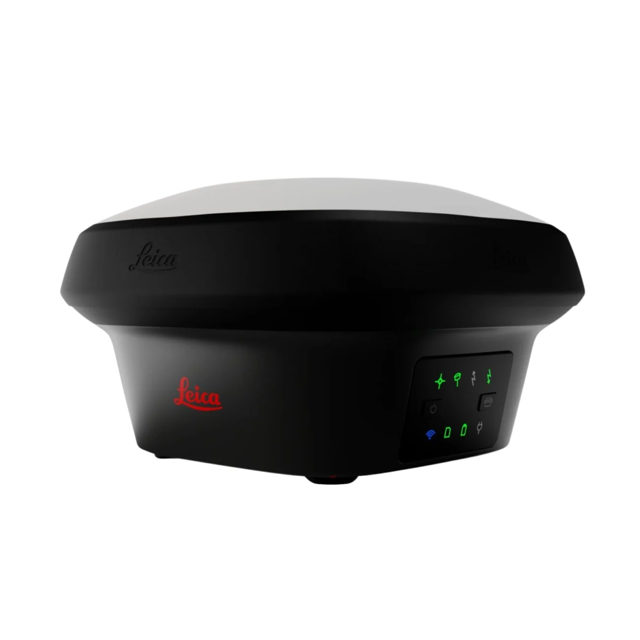
INTERNAL MEMORY
All GS18 models provide flexible data logging options, allowing users to store raw data either on an SD card or directly within the internal memory, depending on project requirements and workflows.
IMPROVED PERFORMANCE
Multipath reduction and interference mitigation options in Captivate boost GNSS signal tracking quality under harsh environments, which improves RTK availability and accuracy. Also, an interference toolkit will enable filtering to remove in- and out-of-band distortions for even more robust GNSS signal tracking.
TILT COMPENSATION
GS18 I tilt compensation is based on sensor fusion between GNSS and IMU, making it immune to magnetic interference and ready to use immediately without calibration. This technology allows surveyors to measure points using either a levelled or tilted pole while automatically storing tilt values for each measurement. This ensures confidence and reliability in every recorded point.
4G LTE & EXCELLENT MEASUREMENT QUALITY
Multi-frequency GNSS signal tracking is standard across all Leica Geosystems GS sensors. Combined with a high-quality GNSS antenna element and a position update rate of 20 Hz, GS18 I delivers consistent and reliable measurement quality in demanding conditions.
ACTIVE CUSTOMER CARE
Active Customer Care (ACC) connects users to a global network of experienced professionals who are available to provide guidance and support when needed. With a Customer Care Package (CCP), operating costs can be controlled while ensuring coverage and peace of mind anytime and anywhere.
Measure what you see with Leica GS18 I
For privacy reasons YouTube needs your permission to be loaded. For more details, please see our Privacy Policy.
Capture the whole scene before it disappears
For privacy reasons YouTube needs your permission to be loaded. For more details, please see our Privacy Policy.
Imagine the power to measure what you see
For privacy reasons YouTube needs your permission to be loaded. For more details, please see our Privacy Policy.
Leica Geosystems
Leica Geosystems Saudi Arabia – Precision Meets Innovation
Introduction
Leica Geosystems Saudi Arabia delivers unmatched precision, durability, and advanced geospatial performance for professionals across construction, infrastructure, mining, and agriculture. For over 200 years, Leica has pioneered surveying instruments, GNSS/GPS systems, laser scanners, and software platforms that empower projects worldwide.
Trusted Worldwide, Available Locally in Saudi Arabia
Founded in Switzerland, Leica Geosystems has built a legacy of engineering excellence. Now available in Saudi Arabia through authorized dealers, Leica Geosystems Saudi Arabia products are adapted for the region’s challenging environments—providing local support, training, and calibrated precision.
Innovation in Every Leica Geosystems Product
Ranging from sophisticated total stations and GNSS receivers to mobile mapping and high-definition laser scanners, Leica Geosystems Saudi Arabia offers real-time accuracy and seamless digital workflows that boost project efficiency and reduce field downtime.
Key Achievements & Milestones
-
Over 200 years of geomatics innovation
-
Inventor of the world’s first digital level and early laser distance meters
-
Reality capture systems deployed in 100+ countries
-
Trusted in major infrastructure, metro, and oil & gas surveying
-
Adopted by engineers, surveyors, and government agencies worldwide
Why Choose Leica Geosystems in Saudi Arabia?
-
Localized support: Technical assistance, training, and product availability through authorized dealers
-
Unmatched accuracy: Instruments deliver centimeter-level precision and durability
-
Comprehensive portfolio: Full range from DISTO distance meters to robotic total stations and reality capture systems
-
Smart integration: Compatible with Hexagon, Autodesk, and other industry-leading software platforms
Leica Product Range in KSA
-
Leica Total Stations – Manual and robotic total stations for construction and high-precision surveying.
-
Leica Mobile Mapping Systems – Pegasus TRK Neo, Pegasus:Backpack, BLK2GO for vehicle, wearable, and handheld 3D capture
-
Leica GPS & GNSS Equipment – GS18 I GNSS RTK rover, iCON GPS smart antennas offering tilt-compensated precision positioning
-
Ground Penetrating Radar (GPR) – Leica GPR solutions for accurate subsurface mapping
-
Leica Laser Scanners – ScanStation P‑Series, RTC360, BLK360, and BLK2FLY for HD 3D scanning and digital twin workflows
-
Leica DISTO & Leica Levels – Leica DISTO™ meter series and LINO/Rugby laser levels for point‑to‑point measurements and leveling
Leica Cyclone Software Portfolio
-
Cyclone REGISTER 360 PLUS – Guided workflows to register and visualize point cloud datasets with automation for efficient office workflows
-
Cyclone 3DR – End-to-end solution to analyze and model point clouds into actionable 3D deliverables
-
Cyclone Enterprise – On‑premise project and data management platform for centralized reality capture workflows
-
Cyclone Cloud – Subscription-based SaaS portal offering centralized license management and secure cloud-hosted service access
Get in Touch - Contact Us
Discover how Leica Geosystems Saudi Arabia solutions can elevate your next project. Reach out to your authorized local distributor to request demos, pricing, and expert consultation tailored to your requirements.
Official Website: www.leica-geosystems.com
Leica Geosystems is a world leader in precision surveying and geospatial solutions with over 200 years of expertise. From total stations and GNSS/GPS receivers to 3D laser scanning systems, Leica products deliver exceptional accuracy and reliability for construction, infrastructure, and mapping projects in Saudi Arabia and worldwide.