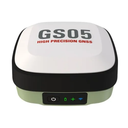
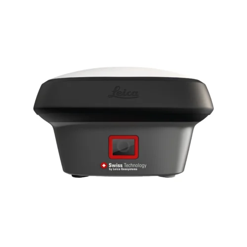
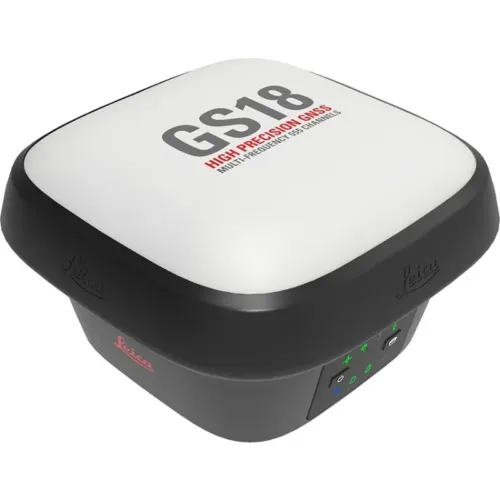
Leica GNSS GPS Viva
Leica GNSS GPS Viva systems are professional, survey-grade GNSS solutions designed for high-accuracy land surveying, construction layout, and infrastructure workflows. Built for demanding field conditions, these systems deliver reliable RTK positioning, fast initialization, and consistent performance across diverse surveying environments.
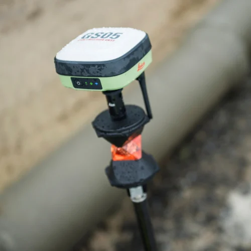
Powered by advanced multi-constellation GNSS technology, Leica Viva GNSS systems combine intelligent antenna design, modular communication options, and long operating time to support efficient and uninterrupted field operations. These systems are engineered to reduce downtime, improve productivity, and maintain accuracy in real-world project conditions.
Seamless integration with Leica field software and controllers enables efficient data capture, stakeout, and real-time positioning. From dense urban areas to open terrain, Viva GNSS solutions maintain stable GNSS performance with minimal setup time, supporting modern surveying workflows.
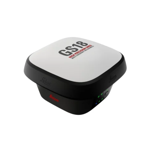
With interchangeable batteries, integrated components, and scalable configurations, Leica GNSS Viva systems offer long-term reliability and adaptability. These solutions are well-suited for organizations seeking dependable GNSS technology for surveying, construction, and infrastructure applications.
Survey-Grade GNSS RTK Systems for Professional Surveying
Leica GNSS GPS Viva RTK systems are designed for precision-driven surveying tasks where accuracy, reliability, and operational efficiency are critical. These systems support professional land surveying, construction layout, and infrastructure development workflows with dependable RTK performance.
Why Choose Leica GNSS GPS Viva
- Survey-grade GNSS accuracy for professional applications
- Fast RTK initialization for efficient field workflows
- Stable GNSS performance in challenging environments
- Long operating time with interchangeable battery options
- Seamless integration with Leica surveying software and controllers
Applications
These survey-grade GNSS systems are widely used for land surveying, construction stakeout, as-built documentation, infrastructure projects, utility surveys, and engineering applications. They are designed to meet the accuracy and productivity requirements of modern surveying operations.
Frequently Asked Questions
What is Leica GNSS GPS Viva used for?
These systems are used for professional land surveying, construction layout, infrastructure projects, and high-accuracy geospatial data collection.
Are these systems suitable for RTK surveying?
Yes. They support RTK workflows, providing fast initialization, stable positioning, and survey-grade accuracy.
Can they perform in challenging environments?
They are designed to operate reliably in dense urban areas, open terrain, and complex construction sites.
Which industries use these systems?
Surveying, construction, civil engineering, infrastructure development, and mapping industries.