
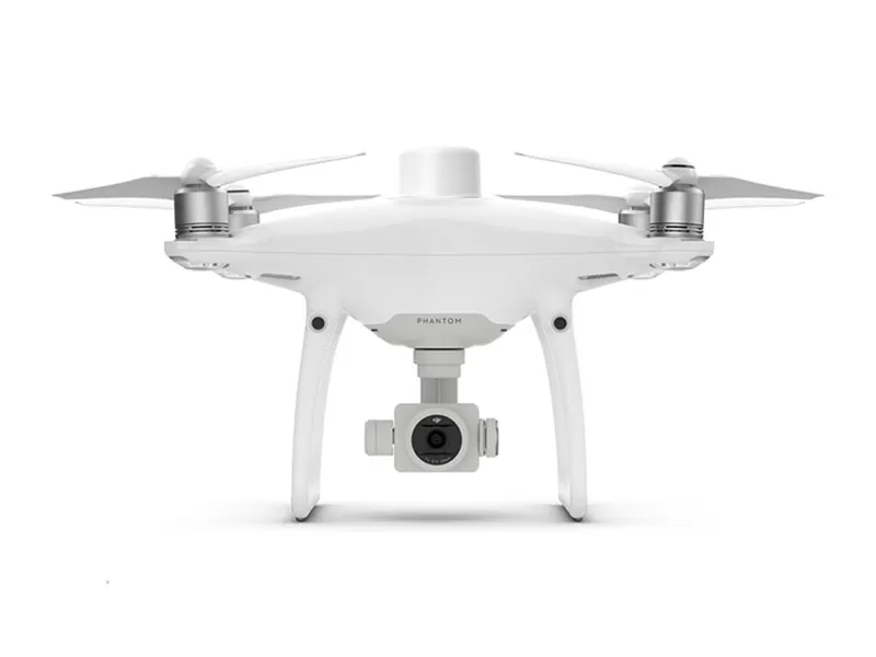
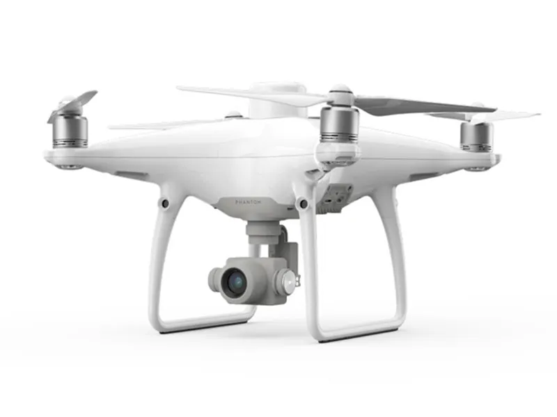
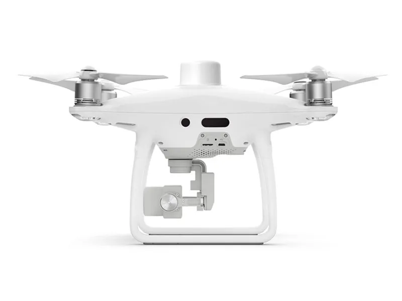
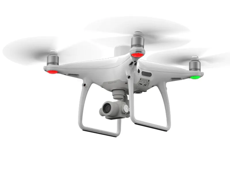
DJI Phantom 4 RTK – High-Precision Aerial Mapping Drone
Engineered for geospatial professionals, the DJI Phantom 4 RTK delivers unmatched accuracy and efficiency in aerial surveying and mapping applications.
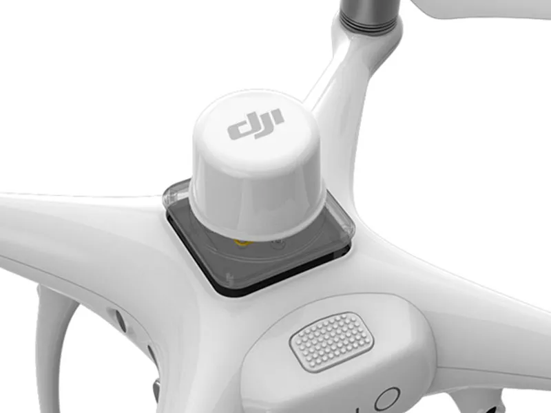
Key Features:
-
RTK Module for centimeter-level positioning accuracy
-
1-inch 20MP CMOS Sensor with mechanical shutter for distortion-free imaging
-
Seamless Integration with DJI Terra and GS RTK for automated flight planning and post-processing
-
Reduced Ground Control Points (GCPs) requirement, streamlining field workflows
-
Real-Time Kinematic (RTK) and Post-Processed Kinematic (PPK) support for flexible data capture
-
Ideal for topographic surveys, 3D mapping, construction monitoring, and precision agriculture
Professional-grade results with maximum reliability – built for modern aerial surveyors.


