Leica CS50 Field Controller

Contact Details

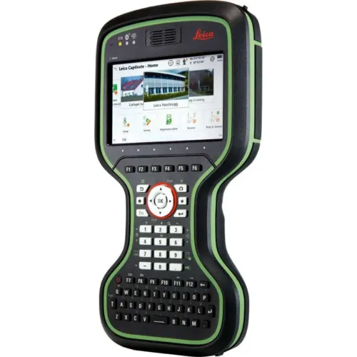
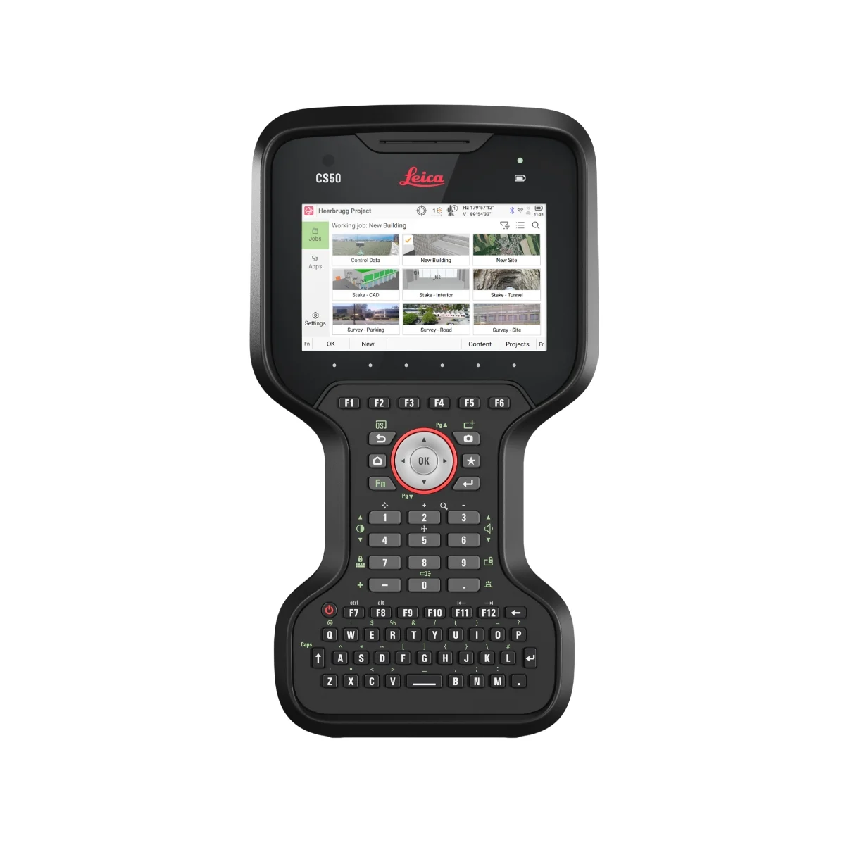
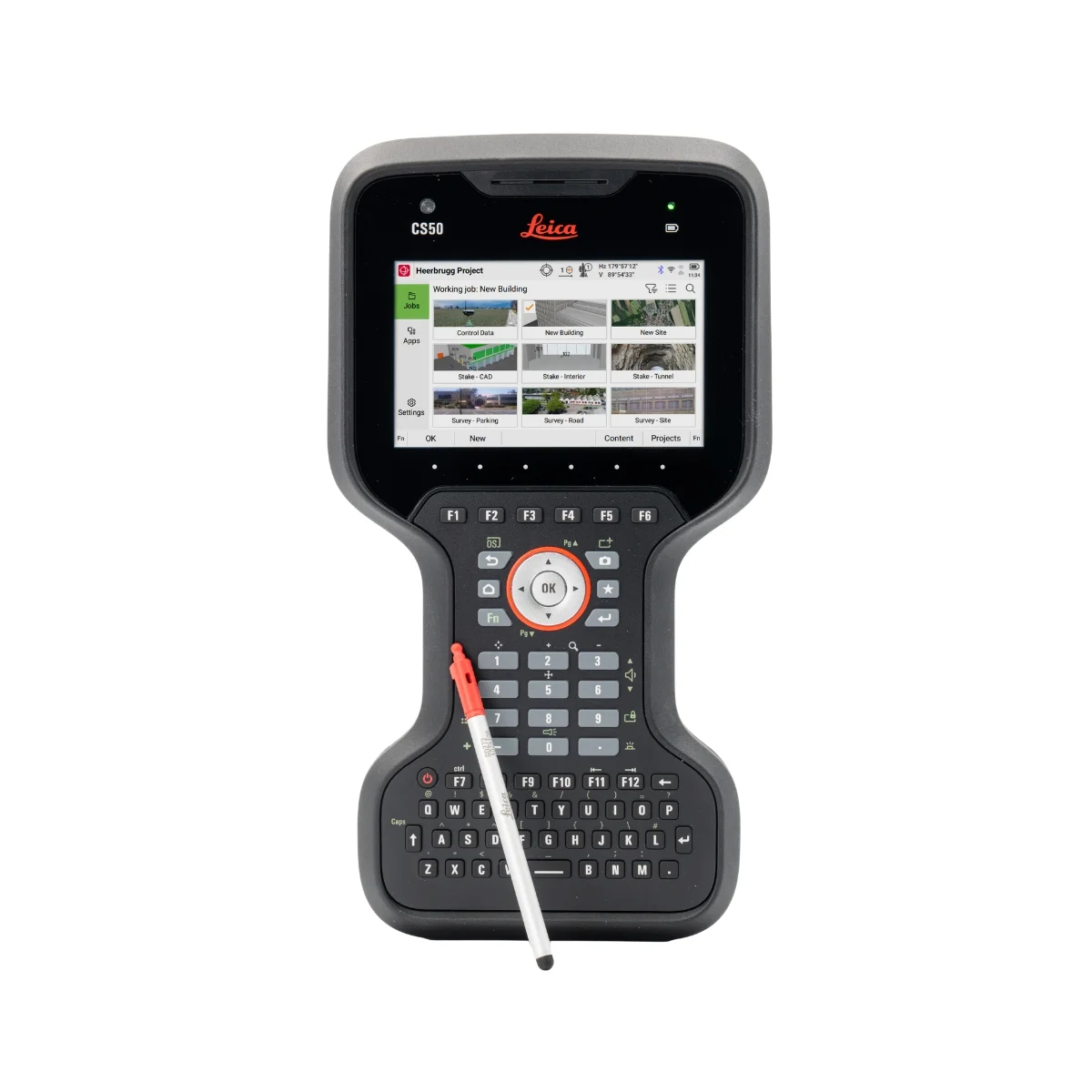
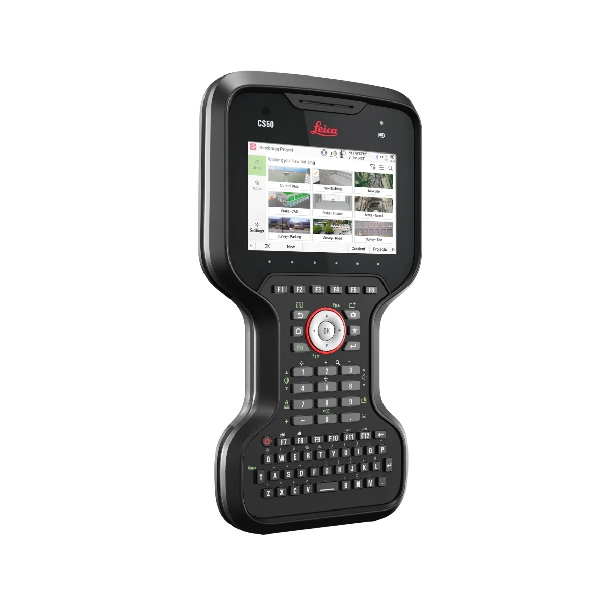
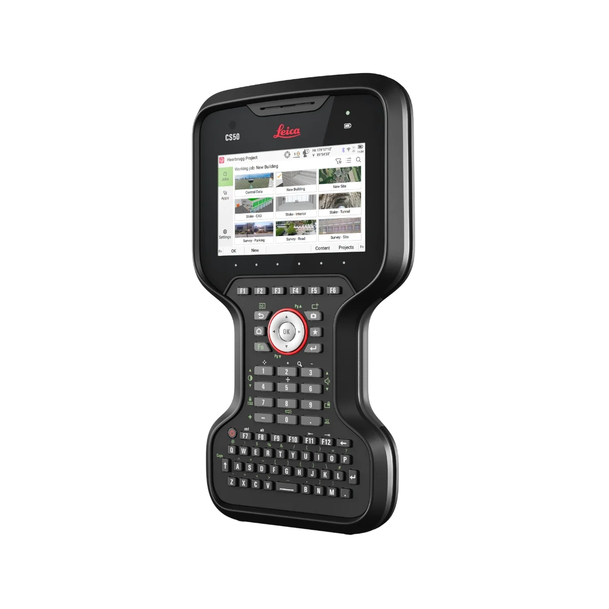
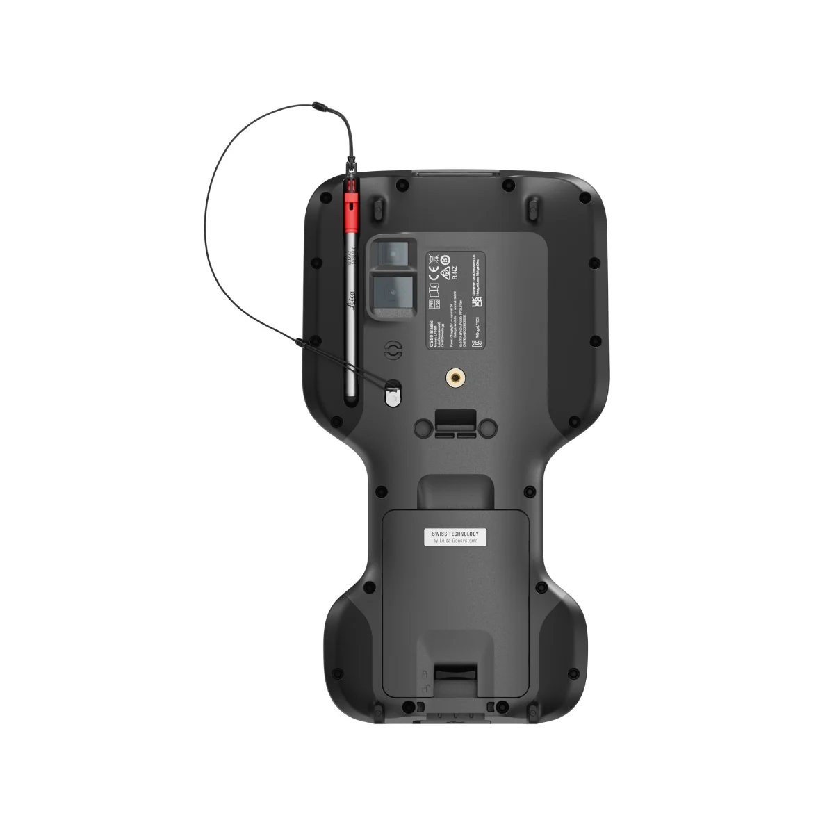
The Leica CS50 field controller is designed for efficient GNSS and total station surveying with Leica Captivate 2027. Featuring a multi-touch display, tactile backlit keypad and rugged IP66/IP68 protection, it delivers responsive performance when working with large survey datasets, CAD files and IFC models.

Compatible with selected Leica Geosystems GNSS receivers and total stations, the CS50 supports connected field-to-office surveying workflows.

Enquire about the Leica CS50 in Saudi Arabia through SITML, the authorized Leica Geosystems distributor.

Leica CS50 Field Controller

The Backbone of Field Performance

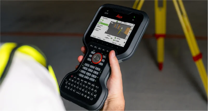
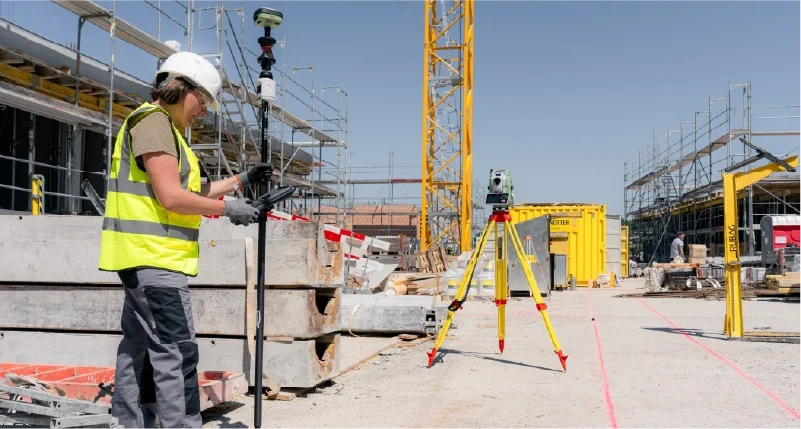
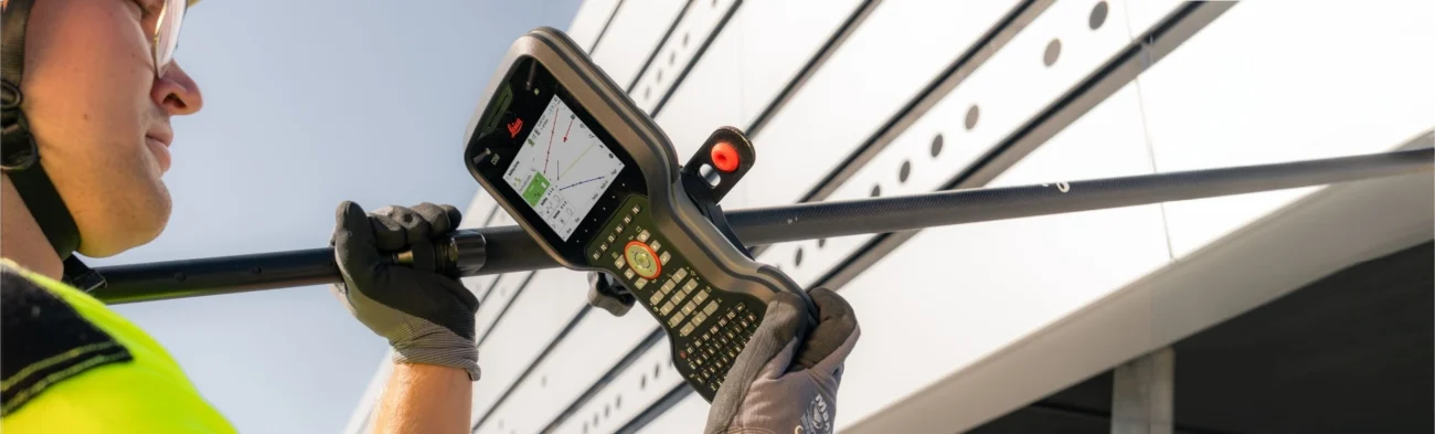
Surveyor using a pole-mounted Leica CS50 field controller with Leica Captivate software during field surveying beside a building.

The Leica CS50 field controller is designed for professional GNSS and total station surveying with Leica Captivate. Built to perform in demanding field conditions, it handles large survey datasets and complex measurement workflows while keeping surveyors productive and in control. With seamless integration between compatible Leica surveying instruments, software and cloud services, the CS50 supports efficient data management and connected field-to-office workflows.

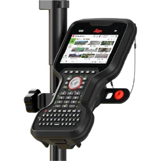
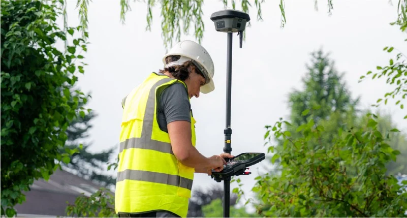
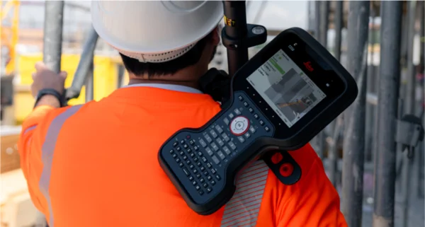
Leica CS50 field controller mounted on a surveying pole, showing its touchscreen, ergonomic design and backlit keypad.

Designed for the Field

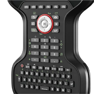
The Leica CS50 field controller is designed for comfortable, one-handed operation during demanding GNSS and total station surveying tasks. Its ergonomic design, tactile backlit keypad and bright display support efficient field data collection throughout the working day. With IP66/IP68-rated protection, the CS50 is built to withstand challenging surveying environments.

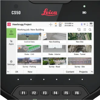
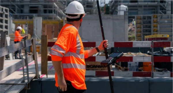
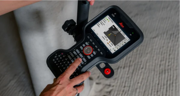
Close-up of Leica CS50 field controller touchscreen displaying Leica Captivate surveying projects and job management interface.

Built for Productivity

The Leica CS50 field controller supports efficient surveying workflows with responsive performance when handling large datasets, CAD files, IFC models and imagery. Powered by Leica Captivate, it allows surveyors to navigate applications, access project information and manage complex job data efficiently, helping maintain productivity throughout field operations.

Ready for More

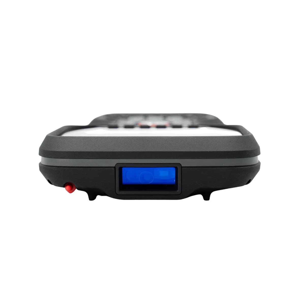
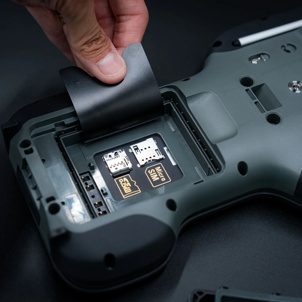
The Leica CS50 field controller supports connected surveying workflows with physical SIM and eSIM connectivity across mobile networks and regions. Its integrated Leica DISTO™ enables distance measurements to remote or hard-to-reach points without unnecessary repositioning. These capabilities provide greater flexibility for GNSS and total station surveying in demanding field environments.

Stay Ready Throughout Your Workflow

Prepare

Prepare surveying projects efficiently with Leica Infinity software before heading into the field. Import design data, define coordinate systems and configure survey jobs for GNSS and total station workflows. Transfer prepared project data to the Leica CS50 field controller through Hexagon GeoCloud, enabling seamless access to job information in Leica Captivate.

Measure and Stake

Measure and stake out with confidence using the Leica CS50 field controller and Leica Captivate software. Visualise survey data in 3D, perform measurements and verify stakeout positions directly in the field. With responsive performance, a bright display and tactile keypad, the CS50 supports accurate and efficient GNSS and total station surveying workflows, including construction site layout and positioning.

Transfer Data

Transfer survey data from the Leica CS50 field controller to Hexagon GeoCloud, enabling secure cloud storage and convenient access to collected field measurements. This connected workflow allows office teams to review project data and prepare it for further processing, supporting efficient collaboration between field surveyors and office personnel.

Process and Deliver

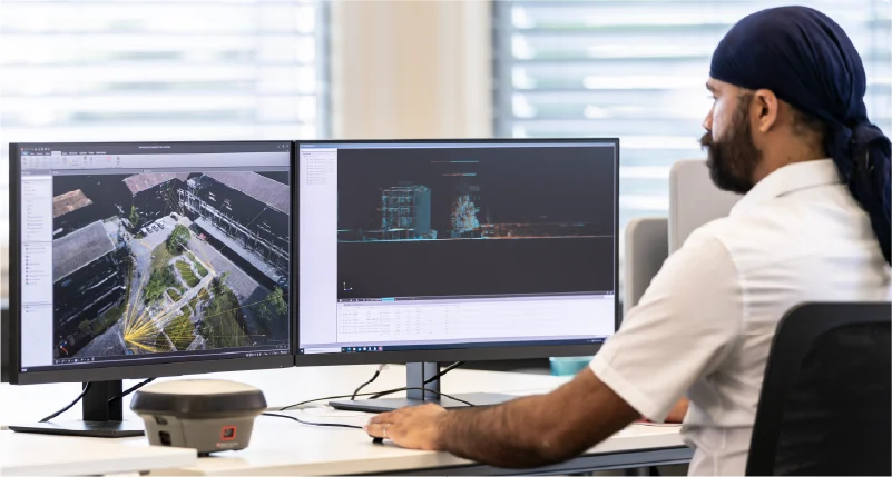
Process and manage survey data collected with the Leica CS50 field controller using Leica Infinity software. Combine GNSS and total station measurements with data from other surveying instruments, prepare survey drawings with CAD drafting tools, and export project information to CAD and BIM applications. Updated data can also be transferred back to the CS50, supporting connected field-to-office surveying workflows.

For privacy reasons YouTube needs your permission to be loaded. For more details, please see our Privacy Policy.

Why the CS50 is ready for demanding fieldwork

Part of the Leica Captivate Portfolio

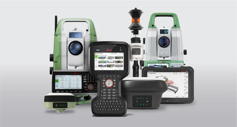
Leica CS50 field controller displayed with Leica total stations, GNSS surveying equipment and controllers from the Leica Captivate portfolio.

The Leica CS50 field controller is part of the Leica Captivate portfolio, connecting compatible Leica GNSS receivers, total stations and surveying software within an integrated field workflow. From project preparation and data collection to stakeout and verification, Leica Captivate helps surveyors manage tasks efficiently and maintain control throughout their projects.

Designed to handle large survey datasets, imagery, CAD files and IFC models, the CS50 supports demanding surveying and construction applications. Together with Hexagon GeoCloud, it enables connected field-to-office data transfer and collaboration, helping surveying teams maintain productivity from initial measurements to final deliverables.

Frequently Asked Questions About the Leica CS50

The Leica CS50 field controller supports connected field-to-office surveying workflows through Leica Captivate, Hexagon GeoCloud and Leica Infinity software.

Surveyors can transfer collected field measurements and project data through Hexagon GeoCloud, allowing office teams to access information for review, processing and collaboration. Data can also be transferred using a microSD card or USB-C storage device.

With Leica Infinity, office teams can prepare surveying projects, process measurements and manage data through to final deliverables. Together, these solutions help maintain an efficient workflow between compatible Leica GNSS receivers, total stations, the CS50 field controller and office-based surveying applications.

Yes. The Leica CS50 field controller is designed for demanding outdoor surveying environments, featuring IP66 and IP68 protection against dust and water and durability verified through MIL-STD-810H testing.

Its bright display, ambient light sensor and tactile backlit keypad support operation in changing lighting conditions, wet environments and while wearing gloves. These features make the CS50 suitable for professional surveying work across challenging construction sites and field conditions.

The Leica CS50 field controller supports flexible instrument and network connectivity for professional GNSS and total station surveying.

Instrument connectivity enables communication with compatible Leica GNSS receivers and total stations through Leica Captivate, including long-range wireless connections to robotic total stations. Actual operating distances depend on the connected instrument, communication method, site conditions and wireless interference.

For compatible Leica TS20 total stations, the Control feature in Hexagon GeoCloud Fleet enables internet-based remote operation beyond conventional Bluetooth range.

Network connectivity options include 4G/5G RedCap, WLAN, physical SIM and eSIM support, helping surveying teams access project data and cloud services across different locations and working environments.

The Leica CS50 field controller uses a Leica Geosystems-managed Linux operating system designed specifically for professional surveying applications.

The platform provides fast start-up, stable performance and predictable software updates, helping reduce unexpected interruptions during fieldwork. This controlled software environment supports reliable Leica Captivate operation when working with complex survey data and demanding measurement workflows.

Yes. The Leica CS50 field controller is designed to handle large survey datasets, CAD files, IFC models, sensor imagery and complex project information.

Its powerful processor and Leica Captivate software support responsive performance when accessing, visualising and managing demanding surveying data. This helps surveyors work efficiently with detailed construction designs, engineering survey information and complex field measurement projects.

Yes. The Leica CS50 field controller is compatible with a wide range of Leica Geosystems GNSS receivers, total stations and multi-stations.

Compatible Leica total stations and multi-stations include:

  • Leica TS20
  • Leica TS60, TM60 and MS60
  • Leica TS13 and TS16
  • Leica TS07 and TS10

Compatible Leica GNSS receivers and smart antennas include:

  • Leica GS18
  • Leica GS16
  • Leica GS05
  • Leica GS10 and GS25

The CS50 runs Leica Captivate 2027 or newer but can connect to compatible Leica surveying instruments running Captivate v12 or newer.

Some Captivate 2027 features may not be available when working with instruments using older software versions, as functionality depends on both the controller and connected instrument.

The Leica CS50 field controller runs Leica Captivate 2027 and newer software versions only. Leica Captivate v12 and earlier versions cannot be installed directly on the CS50. This ensures that the controller operates within the supported Leica Captivate software environment for professional surveying workflows.

The Leica CS50 field controller is designed to support a full working day of professional surveying on a single battery charge. Actual battery operating time may vary depending on display settings, wireless connectivity, active features, environmental conditions and battery health.

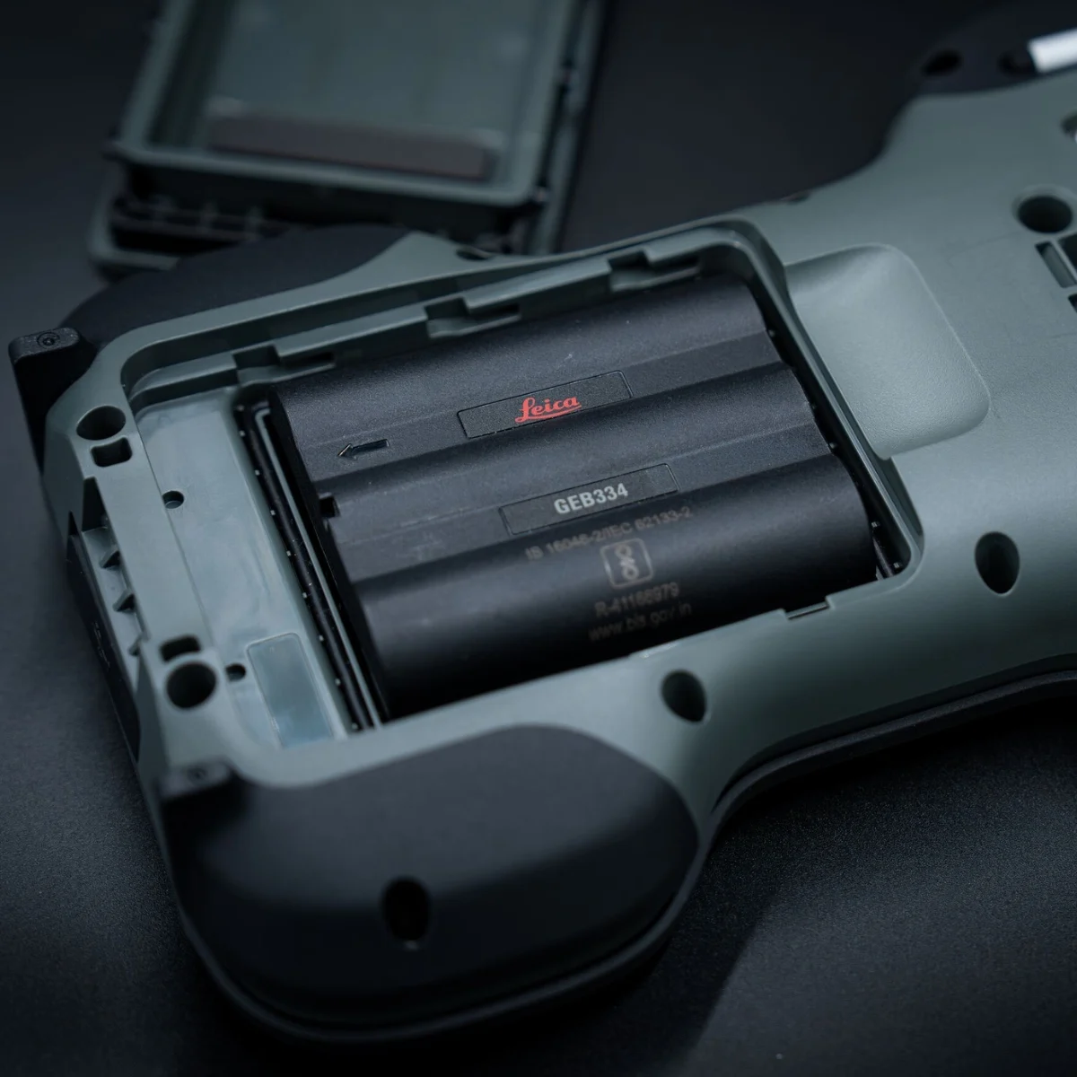
The Leica CS50 is the next-generation successor to the Leica CS20 field controller, offering significant improvements in processing performance, connectivity and usability. Key enhancements include a faster processor, 4G and 5G RedCap connectivity options, eSIM support, a Leica Geosystems-managed Linux operating system and a multi-touch display.

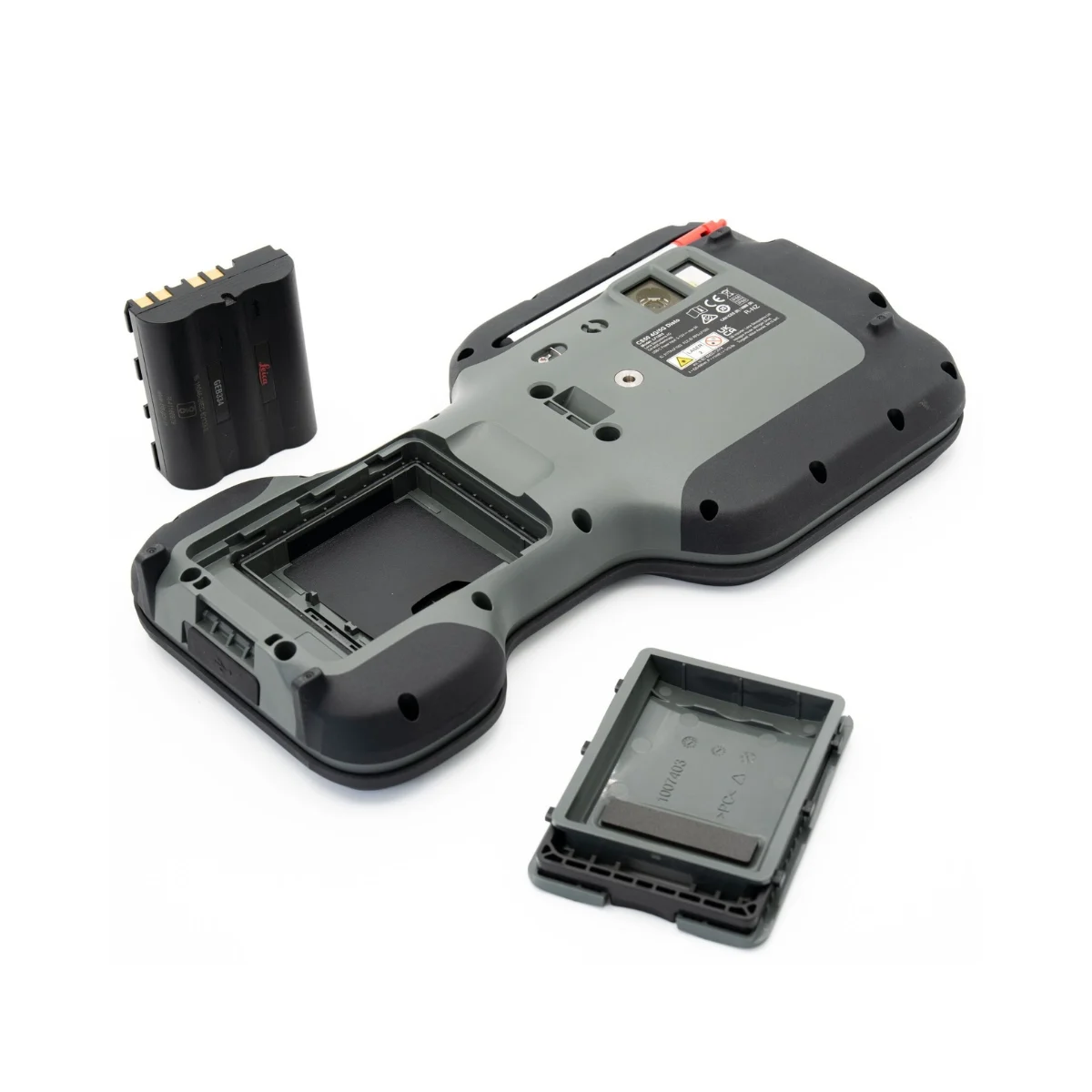
These improvements support efficient handling of large survey datasets, CAD files, IFC models and imagery while maintaining the rugged design required for professional field surveying. The CS50 also uses the same batteries as the Leica CS20.

The Leica CS50 field controller is designed for professional surveyors using Leica Captivate software for construction layout, engineering surveys, topographic surveying, cadastral measurements and infrastructure projects. Its responsive performance and rugged design make it suitable for demanding GNSS and total station surveying applications, including professional surveying projects in Saudi Arabia.

Leica Geosystems

Leica Geosystems Saudi Arabia – Precision Meets Innovation

Introduction

Leica Geosystems Saudi Arabia delivers unmatched precision, durability, and advanced geospatial performance for professionals across construction, infrastructure, mining, and agriculture. For over 200 years, Leica has pioneered surveying instruments, GNSS/GPS systems, laser scanners, and software platforms that empower projects worldwide.

Trusted Worldwide, Available Locally in Saudi Arabia

Founded in Switzerland, Leica Geosystems has built a legacy of engineering excellence. Now available in Saudi Arabia through authorized dealers, Leica Geosystems Saudi Arabia products are adapted for the region’s challenging environments—providing local support, training, and calibrated precision.

Innovation in Every Leica Geosystems Product

Ranging from sophisticated total stations and GNSS receivers to mobile mapping and high-definition laser scanners, Leica Geosystems Saudi Arabia offers real-time accuracy and seamless digital workflows that boost project efficiency and reduce field downtime.

Key Achievements & Milestones

  • Over 200 years of geomatics innovation

  • Inventor of the world’s first digital level and early laser distance meters

  • Reality capture systems deployed in 100+ countries

  • Trusted in major infrastructure, metro, and oil & gas surveying

  • Adopted by engineers, surveyors, and government agencies worldwide

Why Choose Leica Geosystems in Saudi Arabia?

  • Localized support: Technical assistance, training, and product availability through authorized dealers

  • Unmatched accuracy: Instruments deliver centimeter-level precision and durability

  • Comprehensive portfolio: Full range from DISTO distance meters to robotic total stations and reality capture systems

  • Smart integration: Compatible with Hexagon, Autodesk, and other industry-leading software platforms

Leica Product Range in KSA

Leica Cyclone Software Portfolio

  • Cyclone REGISTER 360 PLUS – Guided workflows to register and visualize point cloud datasets with automation for efficient office workflows

  • Cyclone 3DR – End-to-end solution to analyze and model point clouds into actionable 3D deliverables

  • Cyclone Enterprise – On‑premise project and data management platform for centralized reality capture workflows

  • Cyclone Cloud – Subscription-based SaaS portal offering centralized license management and secure cloud-hosted service access

Get in Touch - Contact Us

Discover how Leica Geosystems Saudi Arabia solutions can elevate your next project. Reach out to your authorized local distributor to request demos, pricing, and expert consultation tailored to your requirements.

Official Website: www.leica-geosystems.com

Leica Geosystems new red logo featuring the updated Leica wordmark on a black background

Leica Geosystems is a world leader in precision surveying and geospatial solutions with over 200 years of expertise. From total stations and GNSS/GPS receivers to 3D laser scanning systems, Leica products deliver exceptional accuracy and reliability for construction, infrastructure, and mapping projects in Saudi Arabia and worldwide.

Go to Top