Leica GS18 T – The world’s fastest GNSS RTK rover

Contact Details

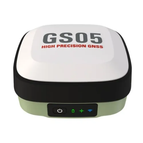
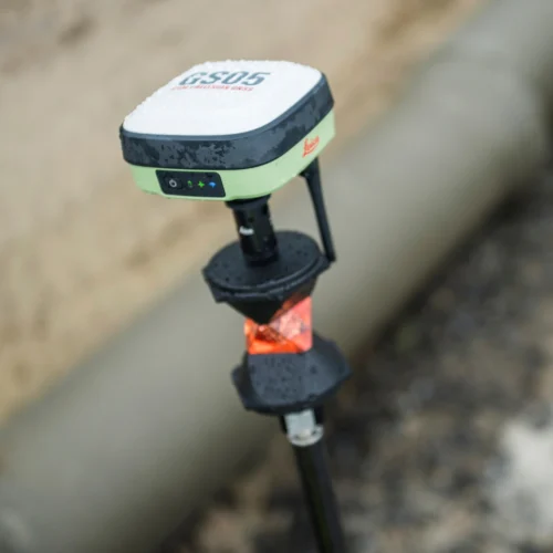
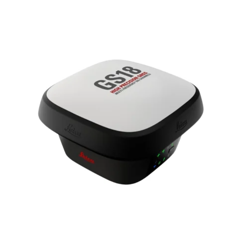
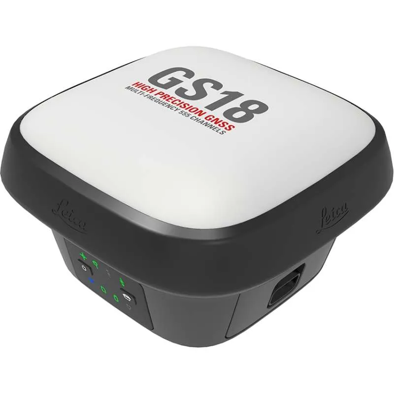
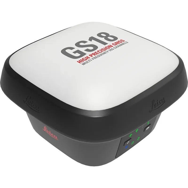
Resistant to magnetic disturbances and calibration-free – no need to level

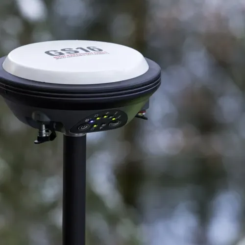
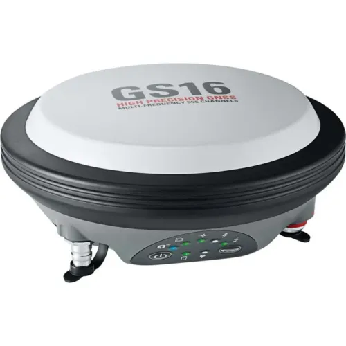
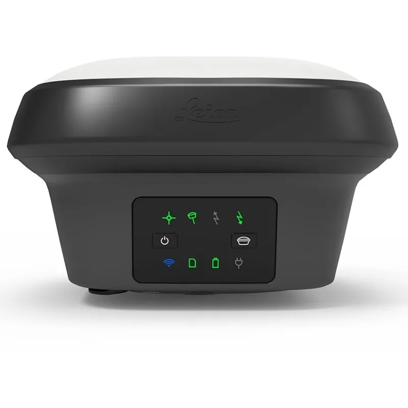
The Leica GS18 T is the world’s fastest and simplest-to-use GNSS smart antenna and RTK rover. Measure any point quicker and easier without needing to hold the pole vertical.

This latest technology and innovation combine GNSS and IMUs (inertial measurement units) to be the first true tilt compensation solution that is immune to magnetic disturbances and is calibration-free.


Focus on your task at hand and save time as you no longer need to watch and level the bubble. Continuous, accurate positioning when in close proximity to metallic objects – measure where others couldn’t before. The GS18 T works directly out of the box without any calibration procedure.


SKU: GS18T Categories: ,

Description

Engaging software

The Leica GS18 T RTK rover combines with the engaging Leica Captivate software for a powerful and immersive experience. Through the ease of touch, management of complicated data is made surprisingly enjoyable and actionable. Leica Captivate covers industries and applications with barely more than a simple swipe, regardless of whether you work with GNSS, total stations or both.

Infinite possibilities

While Leica Captivate captures and models data in the field, Leica Infinity software processes the data back in the office. An efficient data transfer guarantees the project stays on track. Captivate and Infinity works together to join prior survey data and edit projects quicker and more effectively.
With built-in quality assurance, this GNSS RTK rover records how the pole was levelled during the measurement and records the values, confirming measurement traceability and comprehensive quality reporting.

Powerful handheld devices

Take your complete office on the go when you learn the power to overcome any environment from the palm of your hand. The Leica CS20 controller and Leica CS35 tablet deliver the ultimate in control and accessibility with total mobility. Touchscreen technology allows for easy and fast data processing while an impressive 3D view transforms your GNSS experience.

Leica Geosystems GNSS Comparison Chart

 
Leica GS08plus
Leica GS14
Leica GS16
Leica GS18 T
Leica GS10
Leica GS25
 
Signal tracking
Dual-frequency
Dual-frequency
Multi-frequency
Multi-frequency
Multi-frequency
Multi-frequency
GPS
GLONASS
Galileo
BeiDou
SBAS
Yes
Yes
No
No
Yes
Yes
Yes
Yes
Yes
Yes
Yes
Yes
Yes
Yes
Yes
Yes
Yes
Yes
Yes
Yes
Yes
Yes
Yes
Yes
Yes
Yes
Yes
Yes
Yes
Yes
SmartLink fill
SmartLink
No
No
No
No
Yes
Yes
Yes
Yes
Yes
Yes
Yes
Yes
Tilt compensation
No
No
No
Yes
No
No
Single baseline RTK
Hz 10 mm + 1 ppm / V 20 mm + 1 ppm
Hz 8 mm + 1 ppm / V 15 mm + 1 ppm
Network RTK
Hz 10 mm + 0.5 ppm / V 20 mm + 0.5 ppm
Hz 8 mm + 0.5 ppm / V 15 mm + 0.5 ppm
Static (phase) with long observations
Hz 3 mm + 0.5 ppm / V 6 mm + 0.5 ppm
Hz 3 mm + 0.1 ppm / V 3.5 mm + 0.4 ppm
Static and rapid static (phase)
Hz 5 mm + 0.5 ppm / V 10 mm + 0.5 ppm
Hz 3 mm + 0.5 ppm / V 5 mm + 0.5 ppm
Reliability
99,95%
99,95%
99,95%
99,95%
99,95%
99,95%
5 Hz
20 Hz positioning
Yes
No
Yes
Yes
Yes
Yes
Yes
Yes
Yes
Yes
Yes
Yes
Raw data
RINEX data logging
NMEA out
Yes
Yes
No
Yes
Yes
Yes
Yes
Yes
Yes
Yes
Yes
Yes
Yes
Yes
Yes
Yes
Yes
Yes
RTK reference station functionality
No
Yes
Yes
Yes
Yes
Yes
Cellular / UHF Radio (receive & transmit) modem
Controller internal
3G Yes
3G Yes
4G Yes
3G Yes
3G Yes
Storage
Controller internal
MicroSD card
MicroSD card
SD card
SD card
SD card
User interface
Buttons
LEDs
Display
1
3
No
2
7
No
2
7
No
2
8
No
2
7
No
7
7
Yes
Power, Bluetooth®, USB, RS232
Yes
Yes
Yes
Yes
Yes
Yes
Event, PPS
No
No
No
No
No
Yes
Operating temperature -40°C to 65°C
Yes
Yes
Yes
Yes
Yes
Yes
IP68 proof against water, sand and dust
Yes
Yes
Yes
Yes
Yes
Yes
Weight (without battery)
0.60 kg
0.93 kg
0.93 kg
1.20 kg
1.20 kg
1.84 kg

TILT COMPENSATION

  • Increased measurement productivity and traceability
  • Calibration-free
  • Immune to magnetic disturbances
  • Integrated quality assurance of pole tilt
  • Reduction of human error

RTKplus

  • 555 channels for more signals, faster acquisition and improved sensitivity
  • Intelligent management of multi-frequency, multiconstellation signals
  • Intelligent selection to automatically reject reflected or noisy signals

SMARTLINK

  • Achieve centimetre accurate positioning worldwide – perfect when working in remote areas around the globe
  • No RTK base station or RTK network required, correction data is continuously transmitted by satellite delivering global coverage
  • Bridging RTK outages for uninterrupted centimetre positioning

SMARTCHECK

  • Unique RTK technology provides continuous checks to guarantee correct results
  • Initialisation within seconds
  • Complete reliability

BUILT FOR THE MOST DEMANDING ENVIRONMENTS

  • IP66 / IP68 protection
  • Built for extreme temperatures of -40°C to +65°C
  • Fulfils toughest standards throughout the complete product lifetime
  • Rugged aluminium housing

ERGONOMICS

  • Integrated 4G mobile phone, UHF radio RTK devices
  • Compact housing

ONLINE SERVICES

  • HxGN SmartNet Satellite Positioning – your No.1 partner for network RTK
  • Leica Active Assist – the next level in support
  • Leica Exchange – transfer data easily, quickly and safely

Brand

Leica Geosystems

Leica Geosystems Saudi Arabia – Precision Meets Innovation

Introduction

Leica Geosystems Saudi Arabia delivers unmatched precision, durability, and advanced geospatial performance for professionals across construction, infrastructure, mining, and agriculture. For over 200 years, Leica has pioneered surveying instruments, GNSS/GPS systems, laser scanners, and software platforms that empower projects worldwide.

Trusted Worldwide, Available Locally in Saudi Arabia

Founded in Switzerland, Leica Geosystems has built a legacy of engineering excellence. Now available in Saudi Arabia through authorized dealers, Leica Geosystems Saudi Arabia products are adapted for the region’s challenging environments—providing local support, training, and calibrated precision.

Innovation in Every Leica Geosystems Product

Ranging from sophisticated total stations and GNSS receivers to mobile mapping and high-definition laser scanners, Leica Geosystems Saudi Arabia offers real-time accuracy and seamless digital workflows that boost project efficiency and reduce field downtime.

Key Achievements & Milestones

  • Over 200 years of geomatics innovation

  • Inventor of the world’s first digital level and early laser distance meters

  • Reality capture systems deployed in 100+ countries

  • Trusted in major infrastructure, metro, and oil & gas surveying

  • Adopted by engineers, surveyors, and government agencies worldwide

Why Choose Leica Geosystems in Saudi Arabia?

  • Localized support: Technical assistance, training, and product availability through authorized dealers

  • Unmatched accuracy: Instruments deliver centimeter-level precision and durability

  • Comprehensive portfolio: Full range from DISTO distance meters to robotic total stations and reality capture systems

  • Smart integration: Compatible with Hexagon, Autodesk, and other industry-leading software platforms

Leica Product Range in KSA

  • Total Stations – Manual and robotic total stations for construction and high-precision surveying.

  • Mobile Mapping Systems – Pegasus TRK Neo, Pegasus:Backpack, BLK2GO for vehicle, wearable, and handheld 3D capture

  • GPS & GNSS Equipment – GS18 I GNSS RTK rover, iCON GPS smart antennas offering tilt-compensated precision positioning

  • Ground Penetrating Radar (GPR) – Leica GPR solutions for accurate subsurface mapping

  • Laser Scanners – ScanStation P‑Series, RTC360, BLK360, and BLK2FLY for HD 3D scanning and digital twin workflows

  • DISTO Laser Distance Meters & Levels – Leica DISTO™ meter series and LINO/Rugby laser levels for point‑to‑point measurements and leveling

Leica Cyclone Software Portfolio

  • Cyclone REGISTER 360 PLUS – Guided workflows to register and visualize point cloud datasets with automation for efficient office workflows

  • Cyclone 3DR – End-to-end solution to analyze and model point clouds into actionable 3D deliverables

  • Cyclone Enterprise – On‑premise project and data management platform for centralized reality capture workflows

  • Cyclone Cloud – Subscription-based SaaS portal offering centralized license management and secure cloud-hosted service access

Get in Touch - Contact Us

Discover how Leica Geosystems Saudi Arabia solutions can elevate your next project. Reach out to your authorized local distributor to request demos, pricing, and expert consultation tailored to your requirements.

Official Website: www.leica-geosystems.com

Leica Geosystems is a world leader in precision surveying and geospatial solutions with over 200 years of expertise. From total stations and GNSS/GPS receivers to 3D laser scanning systems, Leica products deliver exceptional accuracy and reliability for construction, infrastructure, and mapping projects in Saudi Arabia and worldwide.

Reviews

There are no reviews yet.

Only logged in customers who have purchased this product may leave a review.

Title

Go to Top