Leica Lino P5-1 Point Laser

Contact Details

Precise laser projection, right to the point

The Leica Lino P5-1 is a self-levelling multifunctional point laser. It is a reliable precision laser for any kind of tasks like levelling, plumbing, transfering and setting out right angles.

It supports you on job side with vertical and horizontal five points (four points and one point in front of the device) which are arranged precisely in 90° to each other.

Package includes:

  • Leica Lino P5-1
  • Twist 360
  • Case
  • 3x AA Batteries
  • Target Plate
  • Quickstart Guide.
SKU: 2409207 Category:

Description

P5
L2
L2G
L2P5
L2P5G
LP41
ML180
Leica Lino P5 Self-levelling 5 point laser with smart magnetic adapter
Leica Lino L2 Self-levelling cross line laser with smart magnetic adapters
Leica Lino L2G Self-levelling laser with 2 highly visible green lines
Leica Lino L2P5 Self-leveling line and point laser with 2 lines and 5 points
Leica Lino L2P5G Compact line and point laser with 2 green lines and 5 points
Leica Lino LP42 The most powerful multi line laser for leveling, alignment and layout tasks
Leica Lino ML180 The professional multi-line lasers for interior and exterior applications
Level Horizontal Line
Yes
Yes
Yes
Yes
Yes
Yes
Plumb Vertical Line
Yes
Yes
Yes
Yes
Yes
Yes
Lock in angle w/pendulum lock
Yes
Yes
Yes
Yes
Yes
Yes
Plumbing: vertical transfer
Yes
Yes
Yes
Yes
Yes
Set out right angles
Yes
Yes
Yes
Yes
Yes
Horizontal line fan angle
180°
180°
180°
180°
180°
180°
Green Laser
Yes
Yes

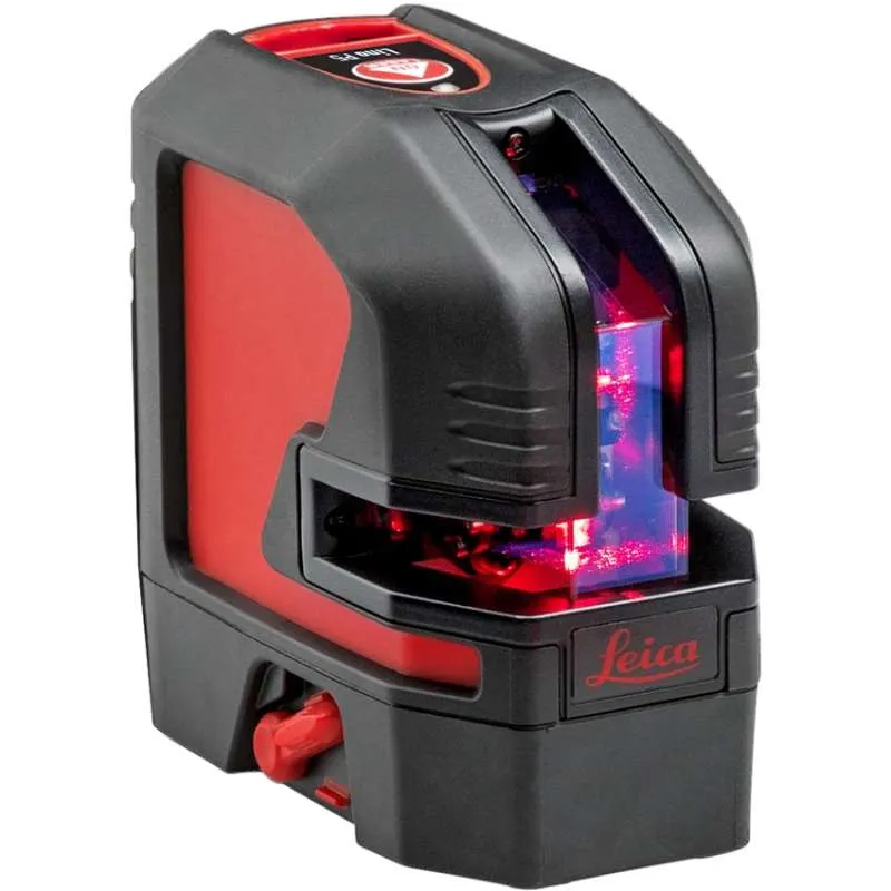
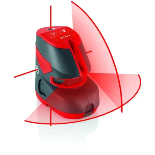
Outstanding Laser Visibility
The high-precision optics of the Leica Lino L2 ensure outstanding laser line visibility up to 25 meters, depending on lighting conditions. Its exceptionally long horizontal and vertical laser lines are projected to floors, walls and ceilings at more than 180 degrees.

Self-Levelling
The Leica Lino L2 automatically adjusts its positioning if it is slightly out of level up to ± 4°. Outside this limit a visual alert is activated to prevent errors.
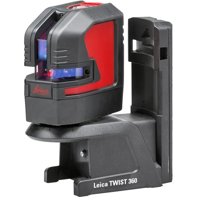
Smart Adapters
Smart adapters allow for quick and precise positioning. You can set up rotatable adapters over edges and profiles, or easily attach them to iron pipes, tracks and bars.

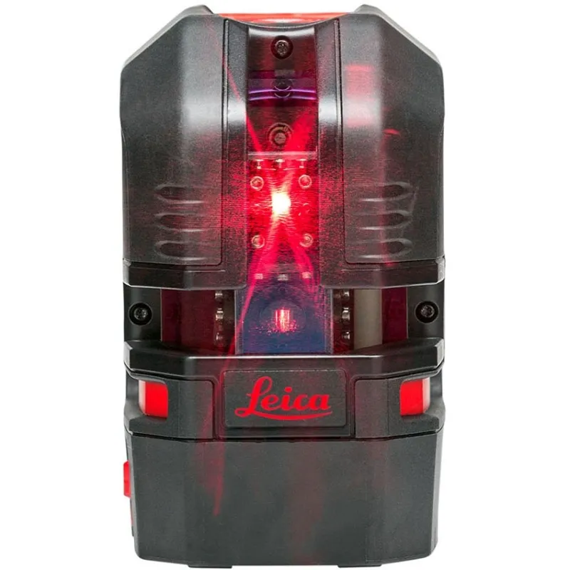
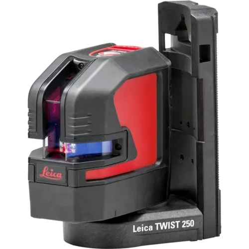
Triple Power Concept
The Leica Lino P5’s triple power concept ensures an uninterrupted workflow. You can power your laser by using rechargeable Li-Ion batteries for up to 44 hours on one charge. Alternatively, you can use Alkaline batteries or simply its charger.

Rugged Design

The Leica Lino L2 is dust and spray water protected to IP 54 standards. This makes it a rugged instrument suitable for all your jobs.

Brand

Leica Geosystems

Leica Geosystems Saudi Arabia – Precision Meets Innovation

Introduction

Leica Geosystems Saudi Arabia delivers unmatched precision, durability, and advanced geospatial performance for professionals across construction, infrastructure, mining, and agriculture. For over 200 years, Leica has pioneered surveying instruments, GNSS/GPS systems, laser scanners, and software platforms that empower projects worldwide.

Trusted Worldwide, Available Locally in Saudi Arabia

Founded in Switzerland, Leica Geosystems has built a legacy of engineering excellence. Now available in Saudi Arabia through authorized dealers, Leica Geosystems Saudi Arabia products are adapted for the region’s challenging environments—providing local support, training, and calibrated precision.

Innovation in Every Leica Geosystems Product

Ranging from sophisticated total stations and GNSS receivers to mobile mapping and high-definition laser scanners, Leica Geosystems Saudi Arabia offers real-time accuracy and seamless digital workflows that boost project efficiency and reduce field downtime.

Key Achievements & Milestones

  • Over 200 years of geomatics innovation

  • Inventor of the world’s first digital level and early laser distance meters

  • Reality capture systems deployed in 100+ countries

  • Trusted in major infrastructure, metro, and oil & gas surveying

  • Adopted by engineers, surveyors, and government agencies worldwide

Why Choose Leica Geosystems in Saudi Arabia?

  • Localized support: Technical assistance, training, and product availability through authorized dealers

  • Unmatched accuracy: Instruments deliver centimeter-level precision and durability

  • Comprehensive portfolio: Full range from DISTO distance meters to robotic total stations and reality capture systems

  • Smart integration: Compatible with Hexagon, Autodesk, and other industry-leading software platforms

Leica Product Range in KSA

  • Total Stations – Manual and robotic total stations for construction and high-precision surveying.

  • Mobile Mapping Systems – Pegasus TRK Neo, Pegasus:Backpack, BLK2GO for vehicle, wearable, and handheld 3D capture

  • GPS & GNSS Equipment – GS18 I GNSS RTK rover, iCON GPS smart antennas offering tilt-compensated precision positioning

  • Ground Penetrating Radar (GPR) – Leica GPR solutions for accurate subsurface mapping

  • Laser Scanners – ScanStation P‑Series, RTC360, BLK360, and BLK2FLY for HD 3D scanning and digital twin workflows

  • DISTO Laser Distance Meters & Levels – Leica DISTO™ meter series and LINO/Rugby laser levels for point‑to‑point measurements and leveling

Leica Cyclone Software Portfolio

  • Cyclone REGISTER 360 PLUS – Guided workflows to register and visualize point cloud datasets with automation for efficient office workflows

  • Cyclone 3DR – End-to-end solution to analyze and model point clouds into actionable 3D deliverables

  • Cyclone Enterprise – On‑premise project and data management platform for centralized reality capture workflows

  • Cyclone Cloud – Subscription-based SaaS portal offering centralized license management and secure cloud-hosted service access

Get in Touch - Contact Us

Discover how Leica Geosystems Saudi Arabia solutions can elevate your next project. Reach out to your authorized local distributor to request demos, pricing, and expert consultation tailored to your requirements.

Official Website: www.leica-geosystems.com

Leica Geosystems is a world leader in precision surveying and geospatial solutions with over 200 years of expertise. From total stations and GNSS/GPS receivers to 3D laser scanning systems, Leica products deliver exceptional accuracy and reliability for construction, infrastructure, and mapping projects in Saudi Arabia and worldwide.

Reviews

There are no reviews yet.

Be the first to review “Leica Lino P5-1 Point Laser”

Title

Go to Top