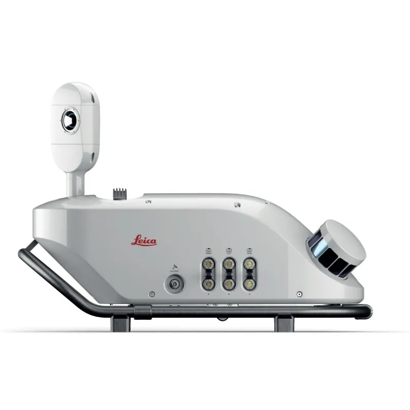
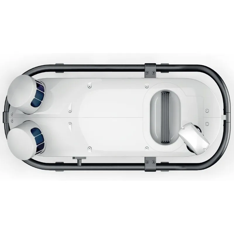
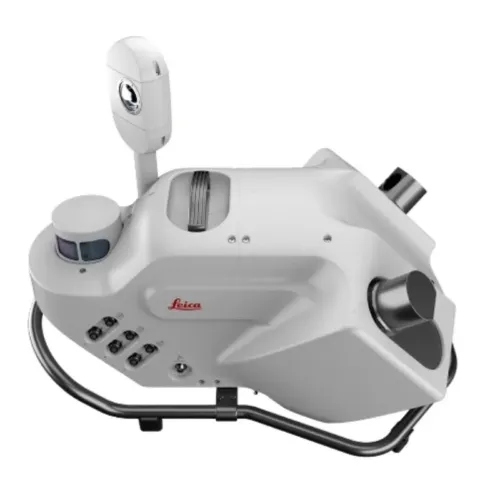
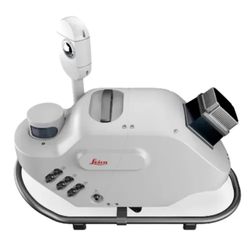
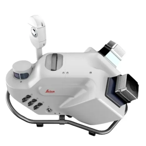
Leica Pegasus TRK100

Contact Details

Mobile Mapping Solution

Limited only by imagination – data efficient, vehicle independent, multiple sensory platform.

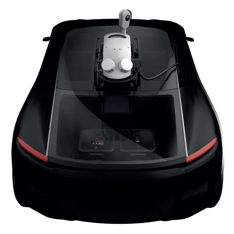
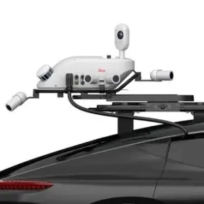
Leica Pegasus Two is a comprehensive portable mapping answer from hardware to target extraction from Leica. The Leica Pegasus Two solution delivers an integrated hardware platform which includes cameras and lidar profilers with an exterior activate and sync output for further sensors. Dedicated, adapted vehicles are not required and with batteries included measuring is limitless.

Never forget

The Leica Pegasus Two records calibrated images and point cloud data collectively – ensuring no object is overlooked. Taking full 360° spherical views and lidar jointly means you will never overlook an object. Leica Pegasus Two delivers an possible rear end road camera for pavement evaluation providing choices to develop your business.

Comprehensive and simple

Permitted by a comprehensive software workflow with data attainment, calibration, object extraction, Novatel empowered post-processing, and a GIS assisted configurable layered storage the Leica Pegasus Two is your distinct, trouble-free answer. A hardware light sensor guarantees the operative that all imagery is useable after processing.

  • Light sensor for automatic balance and brightness control for capturing imagery
  • Completely calibrated spherical view through dome camera for city modelling
  • Brings together visuals and point cloud figures into a single platform
  • Exterior trigger output and time imprinting for extra sensors
  • Scanners and profilers can be added independently, and regulated by the operator
  • No devoted, adapted vehicles are required
  • Software allows access to Esri® ArcGIS for Desktop
  • Superior GNSS receiver takes advantage of global constellations
  • Capture and manage 3 Dimensional spatial objects from visual imagery or from within the point cloud
  • Cost-effective with data information
SKU: Leica Pegasus TRK100 Category:

Description

A Mobile Solution for Streamlined and Smart GIS Data Mapping

Lightweight and Efficient Mobile Mapping for Urban Environments

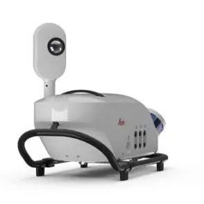
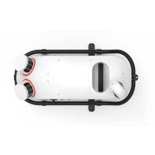
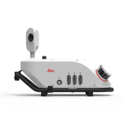
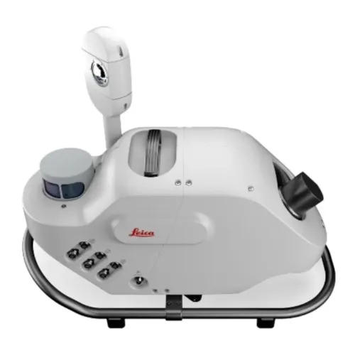
The Leica Pegasus TRK100 is the most compact and lightweight mobile mapping system in our lineup, engineered to simplify urban mapping and asset management tasks. Its streamlined form factor and advanced capabilities support single-operator use, effortless transport, and rapid setup — all without compromising data precision or performance. With long-lasting battery power designed for full-day fieldwork, it minimizes downtime and maximizes operational efficiency.

Combining high-accuracy data from LiDAR, GNSS, IMU, and integrated cameras, the Pegasus TRK100 captures rich, detailed geospatial information with ease. Fully compatible with Leica Pegasus FIELD and OFFICE, the system creates a seamless workflow from field data collection through to the delivery of final outputs.

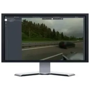
Equipped with RTK functionality, users can process data directly in the field, export results immediately, and benefit from real-time trajectory updates. This in-the-moment verification ensures data quality meets project standards on-site, significantly reducing post-processing time and improving project turnaround.

Additionally, the system’s built-in real-time anonymization feature offers automatic privacy protection, ensuring adherence to data compliance and regulatory standards.

Purpose-built for ease of use and reliable performance, the Pegasus TRK100 empowers professionals to capture fast, accurate spatial data — enabling timely, well-informed decision-making.

Meet the Leica Pegasus TRK100

Real-world applications

Urban Mapping

Using the Pegasus TRK100, urban environments can be mapped with high precision, generating accurate visualizations of pedestrian routes and city layouts. The rich spatial data supports strategic planning and decision-making for smarter, more inclusive, and sustainable urban development.

Infrastructure Measurement

The Pegasus TRK100 is ideal for capturing detailed data on small-scale urban infrastructure — including streetlights, traffic signals, manholes, and utility poles. This data enhances GIS systems and supports informed infrastructure planning and maintenance workflows.

Asset Documentation

With fast, detailed capture capabilities, the Pegasus TRK100 simplifies the documentation of transportation and utility assets. This enables more efficient asset management and scales routine maintenance operations.

Brand

Leica Geosystems

Leica Geosystems Saudi Arabia – Precision Meets Innovation

Introduction

Leica Geosystems Saudi Arabia delivers unmatched precision, durability, and advanced geospatial performance for professionals across construction, infrastructure, mining, and agriculture. For over 200 years, Leica has pioneered surveying instruments, GNSS/GPS systems, laser scanners, and software platforms that empower projects worldwide.

Trusted Worldwide, Available Locally in Saudi Arabia

Founded in Switzerland, Leica Geosystems has built a legacy of engineering excellence. Now available in Saudi Arabia through authorized dealers, Leica Geosystems Saudi Arabia products are adapted for the region’s challenging environments—providing local support, training, and calibrated precision.

Innovation in Every Leica Geosystems Product

Ranging from sophisticated total stations and GNSS receivers to mobile mapping and high-definition laser scanners, Leica Geosystems Saudi Arabia offers real-time accuracy and seamless digital workflows that boost project efficiency and reduce field downtime.

Key Achievements & Milestones

  • Over 200 years of geomatics innovation

  • Inventor of the world’s first digital level and early laser distance meters

  • Reality capture systems deployed in 100+ countries

  • Trusted in major infrastructure, metro, and oil & gas surveying

  • Adopted by engineers, surveyors, and government agencies worldwide

Why Choose Leica Geosystems in Saudi Arabia?

  • Localized support: Technical assistance, training, and product availability through authorized dealers

  • Unmatched accuracy: Instruments deliver centimeter-level precision and durability

  • Comprehensive portfolio: Full range from DISTO distance meters to robotic total stations and reality capture systems

  • Smart integration: Compatible with Hexagon, Autodesk, and other industry-leading software platforms

Leica Product Range in KSA

  • Total Stations – Manual and robotic total stations for construction and high-precision surveying.

  • Mobile Mapping Systems – Pegasus TRK Neo, Pegasus:Backpack, BLK2GO for vehicle, wearable, and handheld 3D capture

  • GPS & GNSS Equipment – GS18 I GNSS RTK rover, iCON GPS smart antennas offering tilt-compensated precision positioning

  • Ground Penetrating Radar (GPR) – Leica GPR solutions for accurate subsurface mapping

  • Laser Scanners – ScanStation P‑Series, RTC360, BLK360, and BLK2FLY for HD 3D scanning and digital twin workflows

  • DISTO Laser Distance Meters & Levels – Leica DISTO™ meter series and LINO/Rugby laser levels for point‑to‑point measurements and leveling

Leica Cyclone Software Portfolio

  • Cyclone REGISTER 360 PLUS – Guided workflows to register and visualize point cloud datasets with automation for efficient office workflows

  • Cyclone 3DR – End-to-end solution to analyze and model point clouds into actionable 3D deliverables

  • Cyclone Enterprise – On‑premise project and data management platform for centralized reality capture workflows

  • Cyclone Cloud – Subscription-based SaaS portal offering centralized license management and secure cloud-hosted service access

Get in Touch - Contact Us

Discover how Leica Geosystems Saudi Arabia solutions can elevate your next project. Reach out to your authorized local distributor to request demos, pricing, and expert consultation tailored to your requirements.

Official Website: www.leica-geosystems.com

Leica Geosystems is a world leader in precision surveying and geospatial solutions with over 200 years of expertise. From total stations and GNSS/GPS receivers to 3D laser scanning systems, Leica products deliver exceptional accuracy and reliability for construction, infrastructure, and mapping projects in Saudi Arabia and worldwide.

Reviews

There are no reviews yet.

Only logged in customers who have purchased this product may leave a review.

Title

Go to Top