...

Leica Pegasus TRK300

Contact Details

Mobile Mapping Solution

Limited only by imagination – data efficient, vehicle independent, multiple sensory platform.

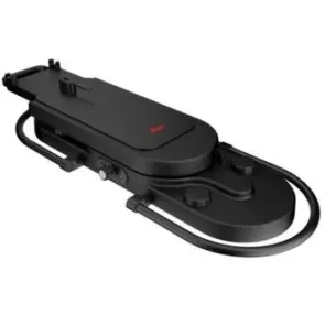
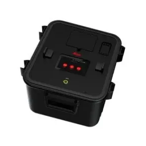
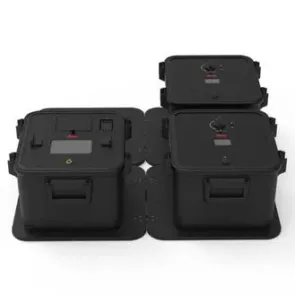
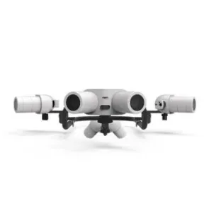
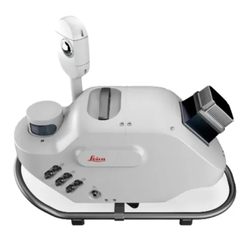
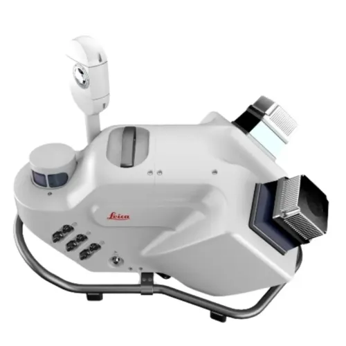
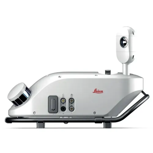
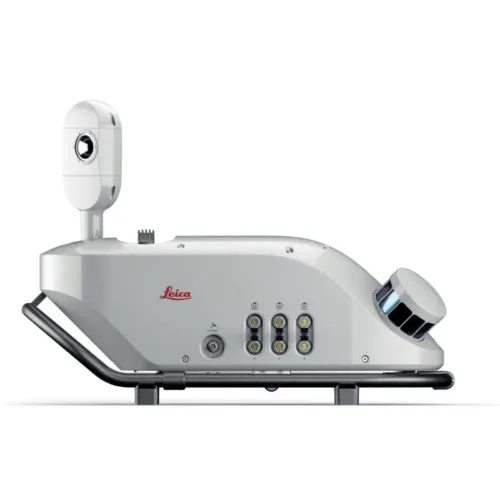
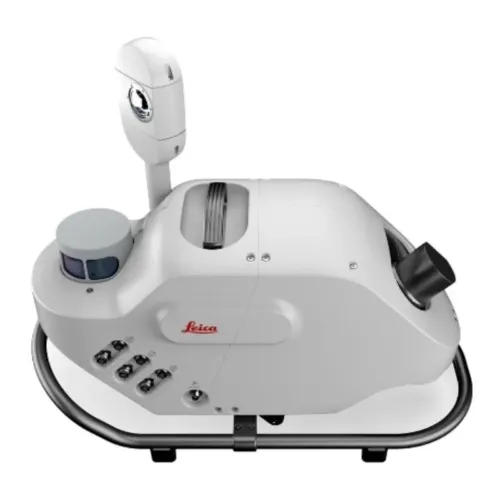
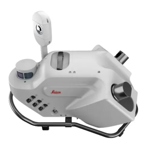
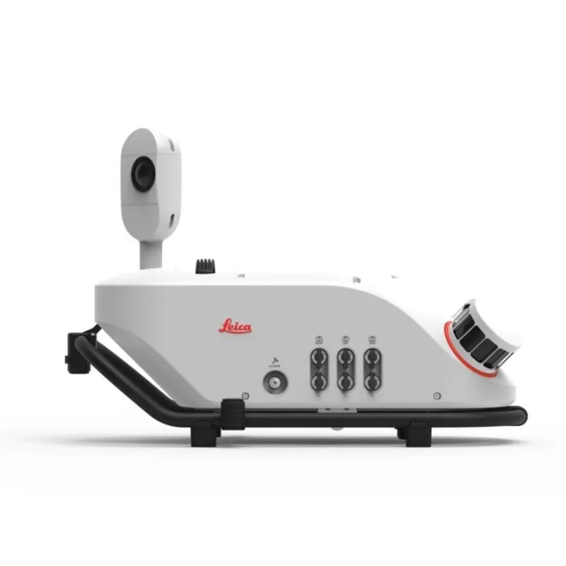
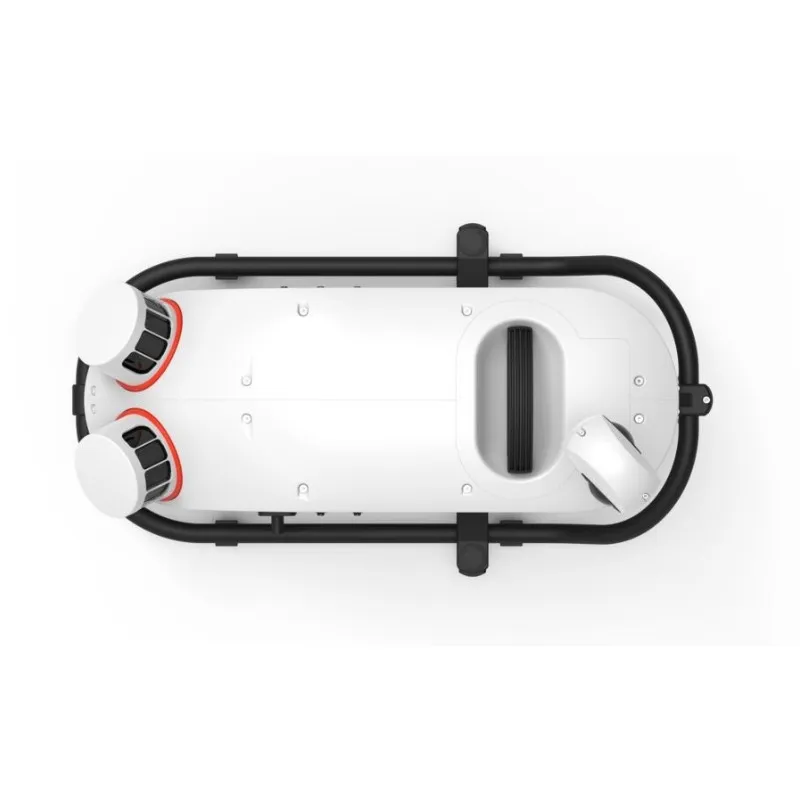
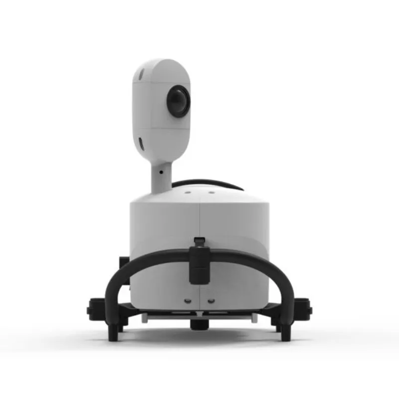
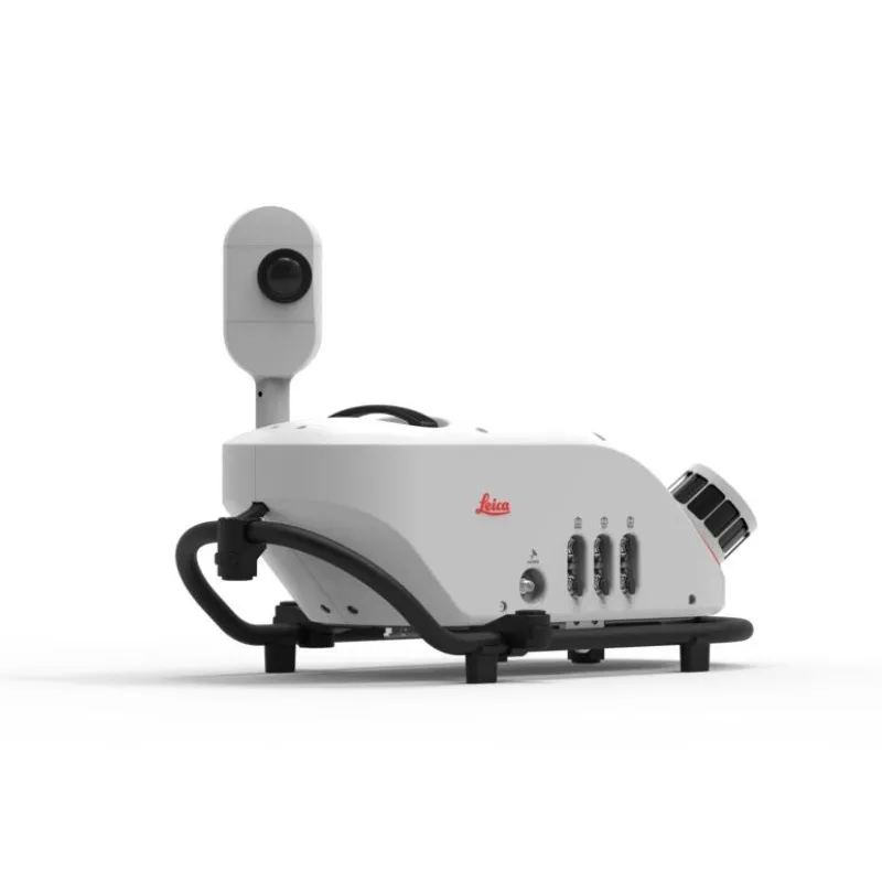
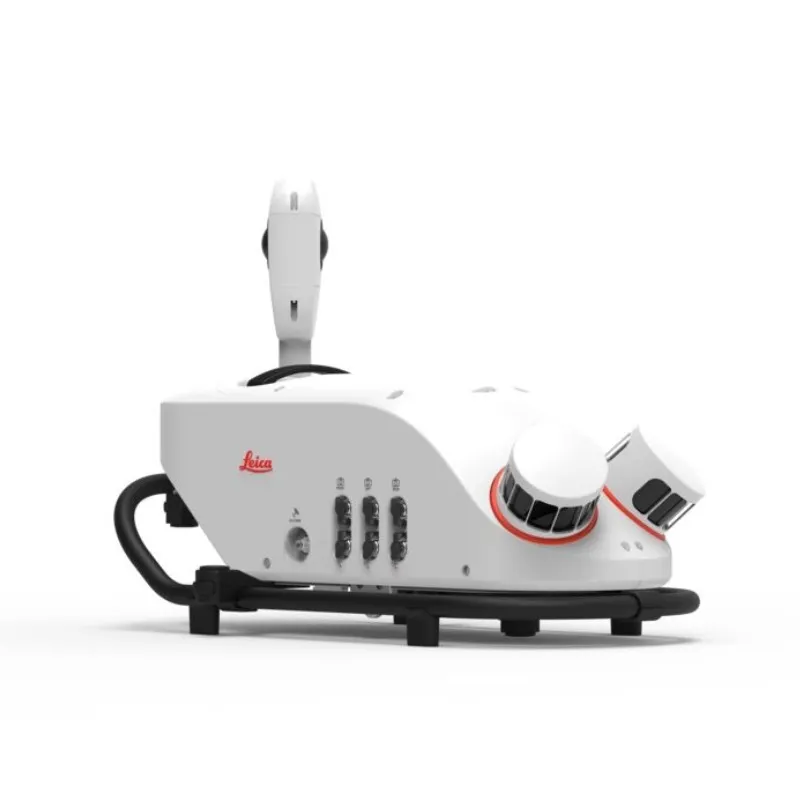
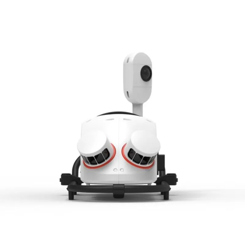
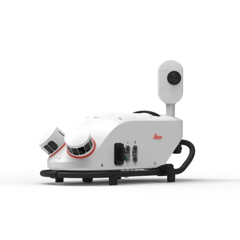
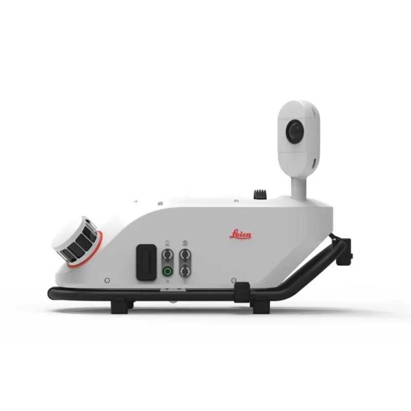
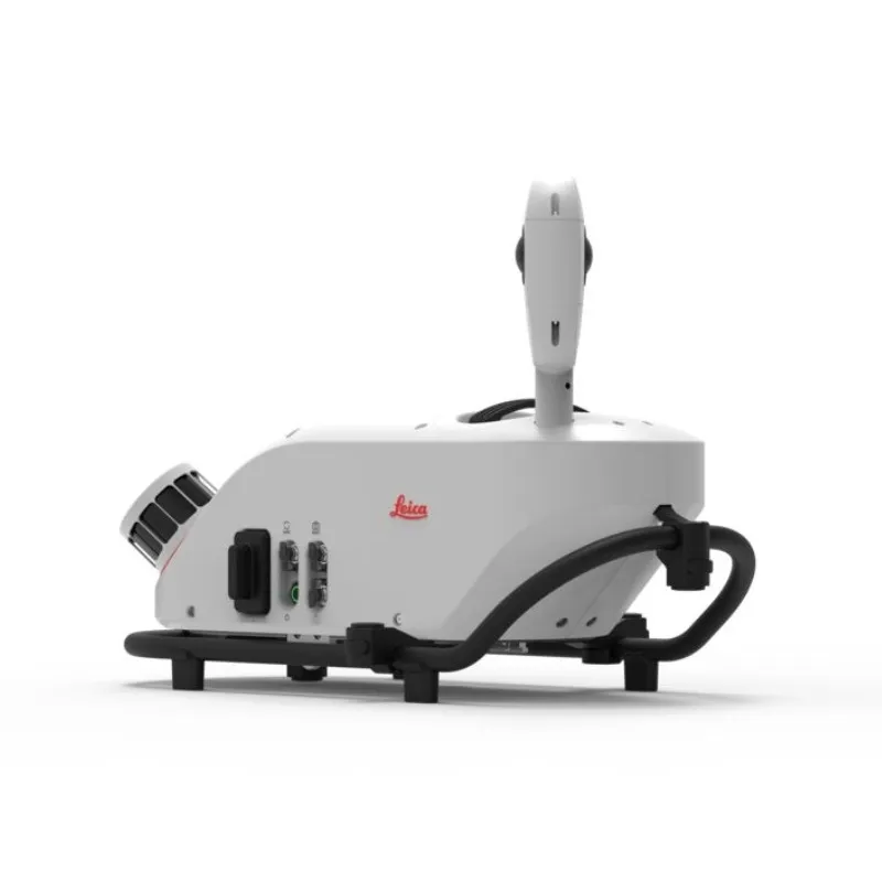
Leica Pegasus Two is a comprehensive portable mapping answer from hardware to target extraction from Leica. The Leica Pegasus Two solution delivers an integrated hardware platform which includes cameras and lidar profilers with an exterior activate and sync output for further sensors. Dedicated, adapted vehicles are not required and with batteries included measuring is limitless.

Never forget

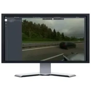
The Leica Pegasus Two records calibrated images and point cloud data collectively – ensuring no object is overlooked. Taking full 360° spherical views and lidar jointly means you will never overlook an object. Leica Pegasus Two delivers an possible rear end road camera for pavement evaluation providing choices to develop your business.

Comprehensive and simple

Permitted by a comprehensive software workflow with data attainment, calibration, object extraction, Novatel empowered post-processing, and a GIS assisted configurable layered storage the Leica Pegasus Two is your distinct, trouble-free answer. A hardware light sensor guarantees the operative that all imagery is useable after processing.

  • Light sensor for automatic balance and brightness control for capturing imagery
  • Completely calibrated spherical view through dome camera for city modelling
  • Brings together visuals and point cloud figures into a single platform
  • Exterior trigger output and time imprinting for extra sensors
  • Scanners and profilers can be added independently, and regulated by the operator
  • No devoted, adapted vehicles are required
  • Software allows access to Esri® ArcGIS for Desktop
  • Superior GNSS receiver takes advantage of global constellations
  • Capture and manage 3 Dimensional spatial objects from visual imagery or from within the point cloud
  • Cost-effective with data information
SKU: Leica Pegasus TRK300 Category:

Compact, Versatile Mobile Mapping Built for Urban and High-Definition Applications

Leica Pegasus TRK300: Compact Power for Mobile Mapping Precision

The Leica Pegasus TRK300 delivers powerful mobile mapping performance in a lightweight, easy-to-mount format — offering extended range and high-precision data capture within a compact footprint. Despite its reduced size, it ensures efficient and detailed data acquisition, making it an excellent fit for urban mapping, high-definition (HD) applications, asset documentation, and smart city modelling.

Engineered for single-user operation, the TRK300 is quick to deploy and simple to maneuver in the field. Its robust design provides reliable operation even in demanding conditions, while its adaptable structure supports external camera setups and advanced sensor configurations to meet a wide range of project needs.

Full compatibility with Leica Pegasus FIELD and OFFICE ensures a smooth, end-to-end workflow — from field data capture to final deliverables. Built-in RTK capabilities allow real-time data processing and immediate export on-site, minimizing delays and maximizing project efficiency. The system also features automated real-time anonymization, supporting privacy compliance and regulatory standards.

Purpose-built for versatility, resilience, and precision, the Pegasus TRK300 empowers professionals with fast, accurate geospatial data — enabling confident decision-making across any environment.

Discover the Leica Pegasus TRK300 Mobile Mapping System

Real-world applications

Asset Documentation

Offering high-resolution data capture, the Pegasus TRK300 enhances asset management for transportation and utility networks, supporting effective planning and streamlined operations.

Infrastructure Measurement

Optimized for mid-scale infrastructure projects, the Pegasus TRK300 accurately measures urban roads, utilities, and structures, helping teams plan upgrades and carry out maintenance more efficiently.

Mining Site Surveys

With the precision and range required for complex environments, the Pegasus TRK300 gathers critical data for mining site analysis, terrain mapping, resource management, and safety evaluations.

Go to Top
Seraphinite AcceleratorOptimized by Seraphinite Accelerator
Turns on site high speed to be attractive for people and search engines.