Leica Rugby 640 Laser Level

Contact Details

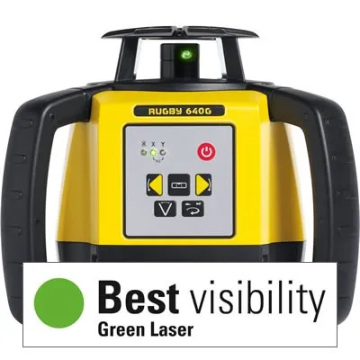
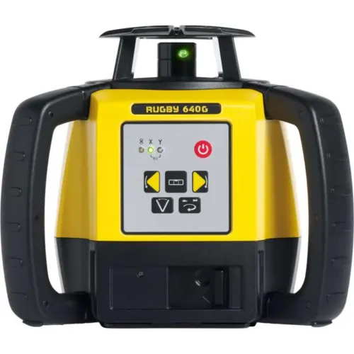
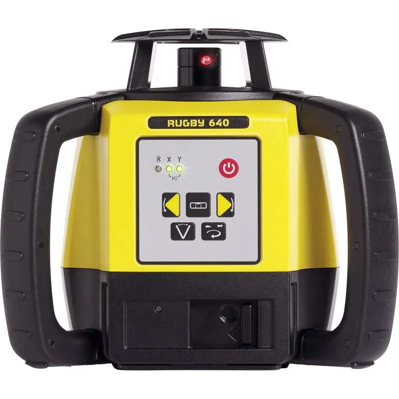
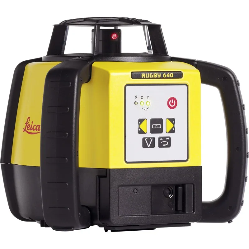
Leica Rugby 640 – Interior and Exterior Versatility

The Leica Rugby 640 Laser Level is a multipurpose self-levelling vertical, horizontal, manual and 90° slope in dual axis construction laser level. This new laser squares, aligns and levels faster and easier than ever before increasing work performance by eradicating errors and downtime.

Foundations and footings work such as pad placement, framework levelling and concrete forming have never been more simple or efficient. The new Scan 90 feature makes layouts quicker allowing the beam to move to the left or right. It also has an automatic plumb down function and sleep mode which conserves power without losing any setup information.

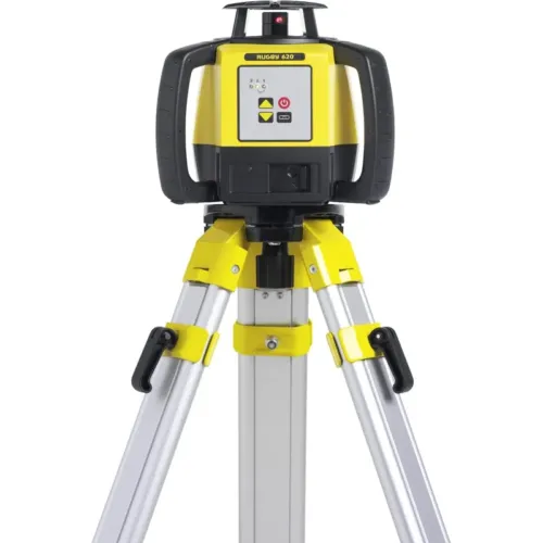
The NEW Leica Rugby 640 laser level is tough, fast and part of the Leica 600 series range which are known for their suitability on all types of construction work. The Rugby 610 laser is protected to IP67 dust and water protected and has a glass cage, tough housing and comes with rubber handles for grip to provide ultimate protection.

Enhance the Leica Laser Rugby 640 with additional plug and play accessories. Charge and use at the same time with the environmentally friendly A170 Solar Panel, power from a vehicle with a car charger or any battery with the 12v battery cable. Increase performance when used with a Rod Eye receiver such as the 140 Classic or 160 Digital.

.

Includes:

  • Rugby 640 and Carrying Case
  • Rod Eye 120 Receiver
  • Leica A600 Li-ion
  • Leica A100 AC Charger
  • Carry Case
SKU: 2401087 Category:

Description

Leica Rugby 600 Series Comparison Table
Leica Rugby 610
Rugby 610
Leica Rugby 620
Rugby 620
Leica Rugby 640
Rugby 640
Leica Rugby 640G
Rugby 640G
Leica Rugby 670
Rugby 670
Leica Rugby 680
Rugby 680
Functionality One button, self levelling horizontal laser One button, self levelling horizontal laser Self levelling vertical, horizontal, manual slope and90° in dual axis Self levelling vertical, horizontal, manual slope and90° in dual axis Self levelling horizontal, dial in grade in single axis Self levelling horizontal, dial in grade in dual axis
Product Type Standard Construction Standard Construction Multipurpose Interior Semi Auto Grade Semi Auto Grade
Features     Plumb up, Scan90, Beam down, Sleep mode. Plumb up, Scan90, Beam down, Sleep mode.
Green Beam
   

Measured at 20°C

± 2.2millimetres @ 30metres ± 1.5millimetres @ 30metres
Grade range         ± 8% Single grade ± 8% Dual grade
Smart Slope         Yes Yes
RPS Rotation 10 10 0,2,5 and 10 0,2,5 and 10 10 10
Range 600metres 800metres 600metres 600metres 800metres 800metres

Brand

Leica Geosystems

Leica Geosystems Saudi Arabia – Precision Meets Innovation

Introduction

Leica Geosystems Saudi Arabia delivers unmatched precision, durability, and advanced geospatial performance for professionals across construction, infrastructure, mining, and agriculture. For over 200 years, Leica has pioneered surveying instruments, GNSS/GPS systems, laser scanners, and software platforms that empower projects worldwide.

Trusted Worldwide, Available Locally in Saudi Arabia

Founded in Switzerland, Leica Geosystems has built a legacy of engineering excellence. Now available in Saudi Arabia through authorized dealers, Leica Geosystems Saudi Arabia products are adapted for the region’s challenging environments—providing local support, training, and calibrated precision.

Innovation in Every Leica Geosystems Product

Ranging from sophisticated total stations and GNSS receivers to mobile mapping and high-definition laser scanners, Leica Geosystems Saudi Arabia offers real-time accuracy and seamless digital workflows that boost project efficiency and reduce field downtime.

Key Achievements & Milestones

  • Over 200 years of geomatics innovation

  • Inventor of the world’s first digital level and early laser distance meters

  • Reality capture systems deployed in 100+ countries

  • Trusted in major infrastructure, metro, and oil & gas surveying

  • Adopted by engineers, surveyors, and government agencies worldwide

Why Choose Leica Geosystems in Saudi Arabia?

  • Localized support: Technical assistance, training, and product availability through authorized dealers

  • Unmatched accuracy: Instruments deliver centimeter-level precision and durability

  • Comprehensive portfolio: Full range from DISTO distance meters to robotic total stations and reality capture systems

  • Smart integration: Compatible with Hexagon, Autodesk, and other industry-leading software platforms

Leica Product Range in KSA

  • Total Stations – Manual and robotic total stations for construction and high-precision surveying.

  • Mobile Mapping Systems – Pegasus TRK Neo, Pegasus:Backpack, BLK2GO for vehicle, wearable, and handheld 3D capture

  • GPS & GNSS Equipment – GS18 I GNSS RTK rover, iCON GPS smart antennas offering tilt-compensated precision positioning

  • Ground Penetrating Radar (GPR) – Leica GPR solutions for accurate subsurface mapping

  • Laser Scanners – ScanStation P‑Series, RTC360, BLK360, and BLK2FLY for HD 3D scanning and digital twin workflows

  • DISTO Laser Distance Meters & Levels – Leica DISTO™ meter series and LINO/Rugby laser levels for point‑to‑point measurements and leveling

Leica Cyclone Software Portfolio

  • Cyclone REGISTER 360 PLUS – Guided workflows to register and visualize point cloud datasets with automation for efficient office workflows

  • Cyclone 3DR – End-to-end solution to analyze and model point clouds into actionable 3D deliverables

  • Cyclone Enterprise – On‑premise project and data management platform for centralized reality capture workflows

  • Cyclone Cloud – Subscription-based SaaS portal offering centralized license management and secure cloud-hosted service access

Get in Touch - Contact Us

Discover how Leica Geosystems Saudi Arabia solutions can elevate your next project. Reach out to your authorized local distributor to request demos, pricing, and expert consultation tailored to your requirements.

Official Website: www.leica-geosystems.com

Leica Geosystems is a world leader in precision surveying and geospatial solutions with over 200 years of expertise. From total stations and GNSS/GPS receivers to 3D laser scanning systems, Leica products deliver exceptional accuracy and reliability for construction, infrastructure, and mapping projects in Saudi Arabia and worldwide.

Reviews

There are no reviews yet.

Only logged in customers who have purchased this product may leave a review.

Title

Go to Top