Leica Surveying Systems
Looking for seasonal promotions? View our current Ramadan surveying equipment offer in Saudi Arabia – VIEW OFFER
Surveying Equipment by Leica Geosystems in Saudi Arabia
Surveying equipment from Leica Geosystems plays a critical role in land surveying, construction, infrastructure, and geospatial projects across Saudi Arabia. SITML offers a complete range of professional surveying solutions designed to deliver accuracy, reliability, and efficient field workflows in demanding site conditions.
Our Leica surveying solutions portfolio covers total stations, GNSS and GPS systems, reality capture and 3D laser scanning solutions, mobile mapping systems, digital and optical levels, construction lasers, and ground penetrating radar. These technologies are widely used for boundary surveys, construction layout, as built documentation, deformation monitoring, and large scale infrastructure development.
Designed for professional surveyors and engineering teams, Leica surveying instruments enable precise measurement, fast data capture, and seamless integration with digital surveying workflows. From dense urban environments to large scale infrastructure and remote terrain, these systems are built to deliver consistent performance with minimal setup time.
This category acts as the central hub for Leica surveying solutions, allowing professionals to select the right technology based on application requirements such as positioning accuracy, scanning detail, mobility, and project scale. Each sub-category provides specialized solutions tailored to specific surveying tasks, ensuring efficient field operations and reliable results.
With local availability, technical support, and authorized service across Riyadh, Jeddah, Dammam, and other regions in Saudi Arabia, SITML supports surveying professionals throughout the full project lifecycle, from equipment selection to long-term operational support. Supporting surveying and engineering projects across Riyadh, Jeddah, Dammam, Eastern Province, and all regions of Saudi Arabia through SITML’s nationwide sales, service, and support network.
Leica Surveying Categories
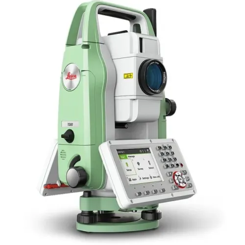
- Leica Total Stations
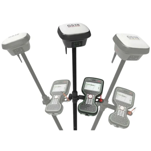
- Leica GNSS and GPS Systems
- Leica Reality Capture and 3D Laser Scanning
- Leica Mobile Mapping Systems
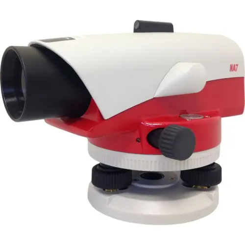
- Leica Levels for Precision Levelling
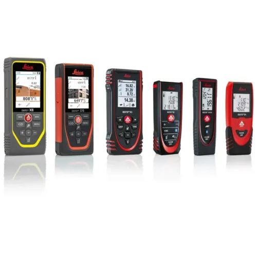
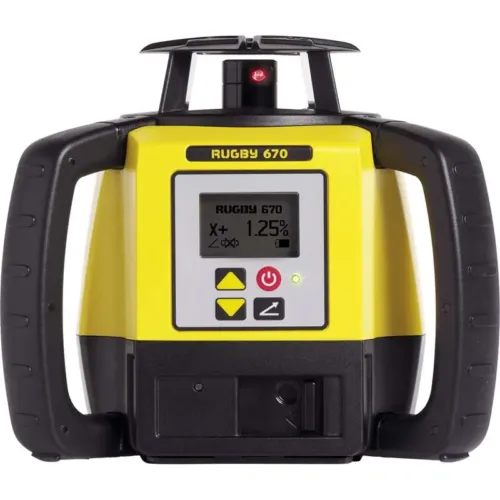
- Leica Lasers and Distance Measurement Tools
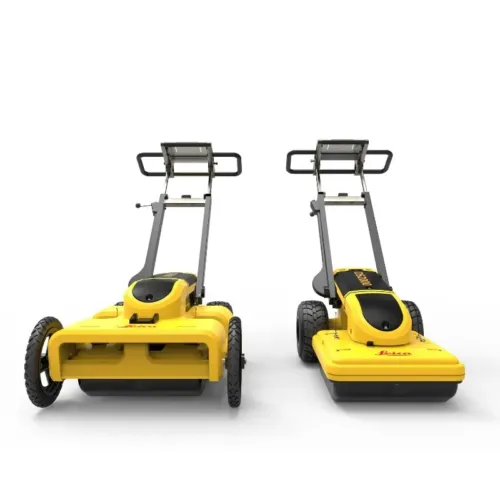
- Ground Penetrating Radar for Subsurface Detection
Professional Surveying Solutions for Saudi Arabia
-
Surveying Equipment for Construction and Infrastructure
-
Surveying Solutions for Land and Geospatial ProjectsAdvanced
-
Measurement Technologies for Complex Environments
Surveying FAQs
What types of surveying equipment are included in this category?
This category includes Leica total stations, GNSS and GPS systems, 3D laser scanning and reality capture solutions, mobile mapping systems, digital and optical levels, construction lasers, distance measurement tools, and ground penetrating radar.
Who uses professional surveying solutions?
Surveying equipment is used by land surveyors, civil engineers, construction professionals, infrastructure contractors, and geospatial specialists working on mapping, layout, monitoring, and documentation projects.
Is Leica surveying equipment suitable for large infrastructure projects?
Yes. Leica surveying solutions are widely used for roads, rail, utilities, buildings, and large infrastructure projects where accuracy, reliability, and workflow integration are critical.
Can I select surveying equipment based on my application?
Yes. Each sub-category within this page focuses on specific surveying applications, allowing professionals to choose equipment based on accuracy requirements, site conditions, and project scale.
Does SITML provide support for Leica surveying solutions in Saudi Arabia?
SITML provides local sales, technical support, and authorized service for Leica surveying equipment across major regions in Saudi Arabia.