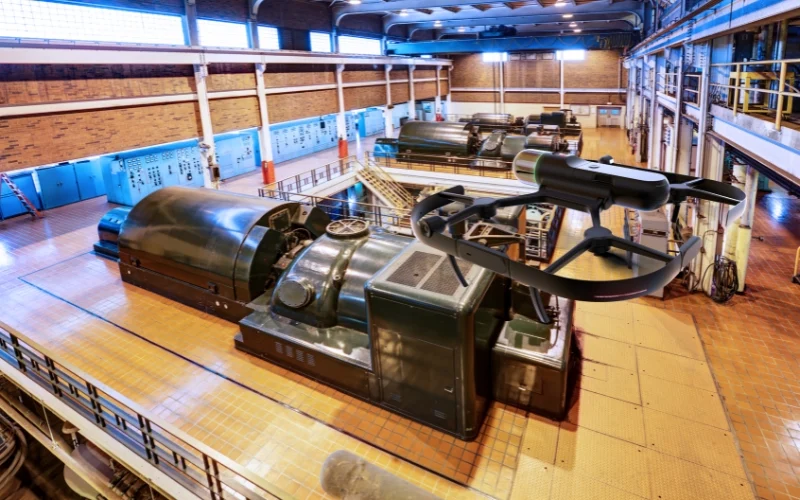
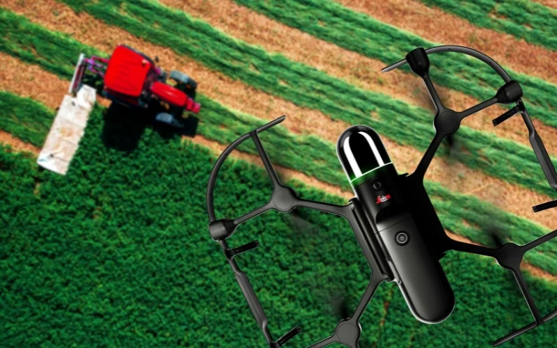
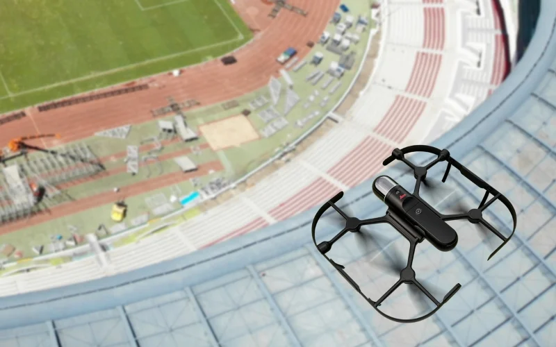
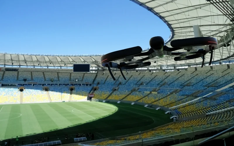
Leica BLK2FLY is an autonomous aerial laser scanning solution for capturing complete exterior environments that are difficult or unsafe to access. It enables accurate 3D reality capture of buildings, construction sites, and infrastructure, supporting exterior mapping, progress documentation, and digital twin workflows with minimal manual operation.
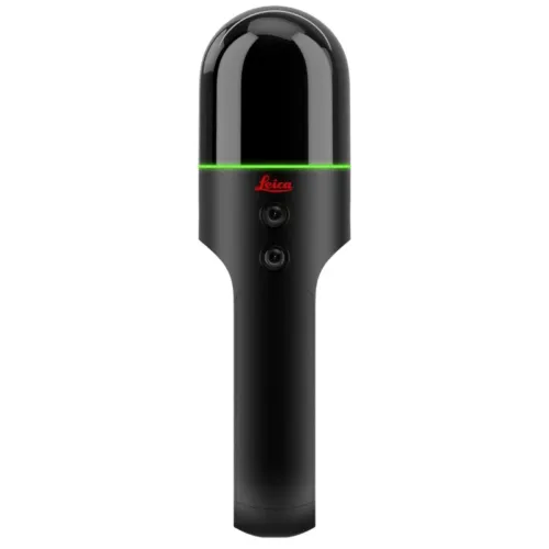
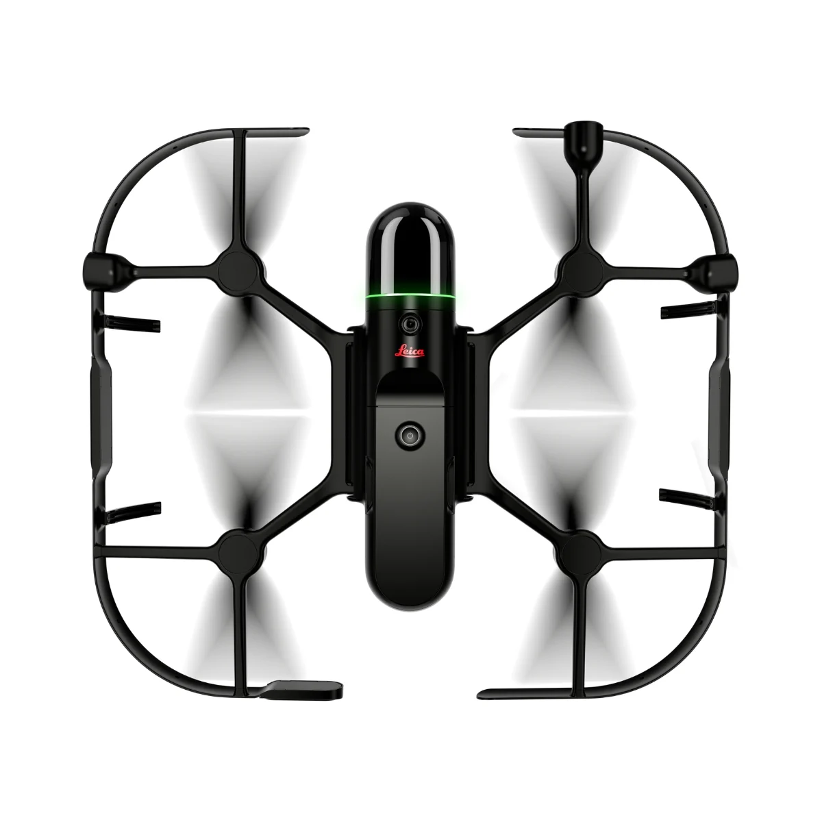
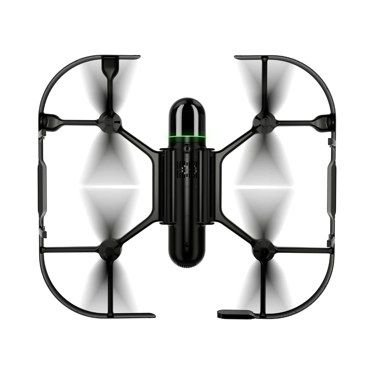
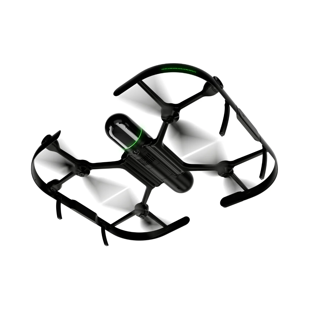
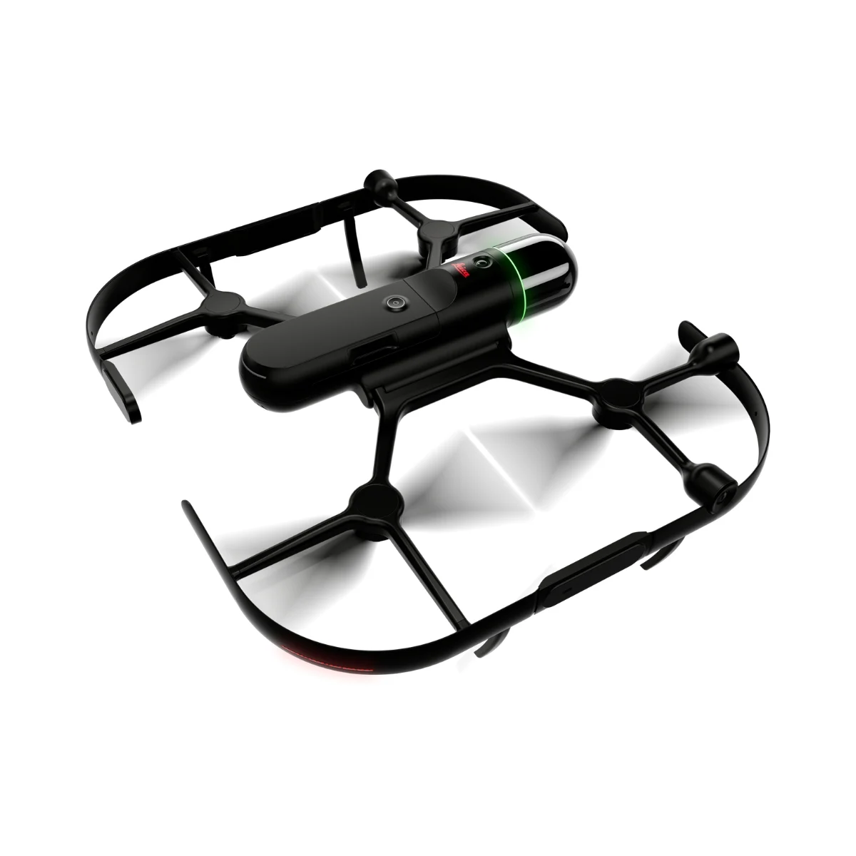
Leica BLK2FLY Autonomous Flying Laser Scanner
World’s first fully integrated autonomous LiDAR UAV

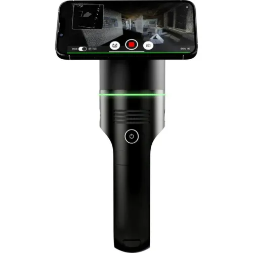
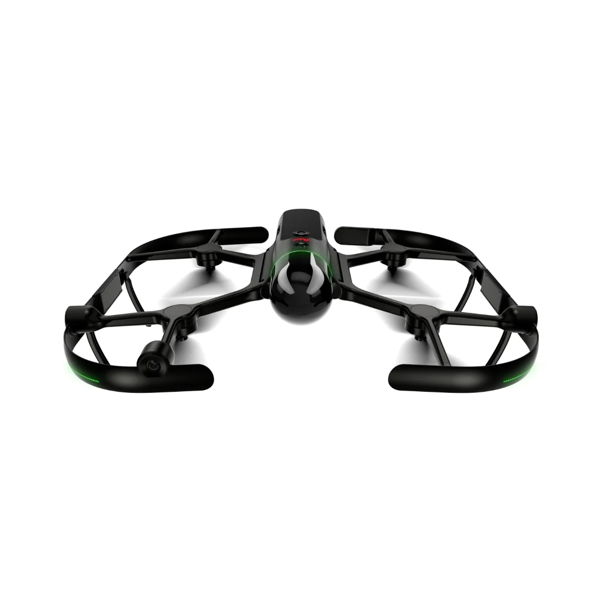
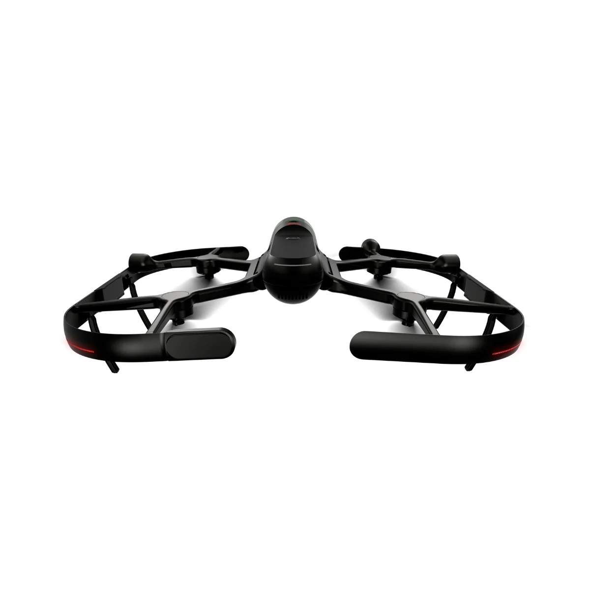
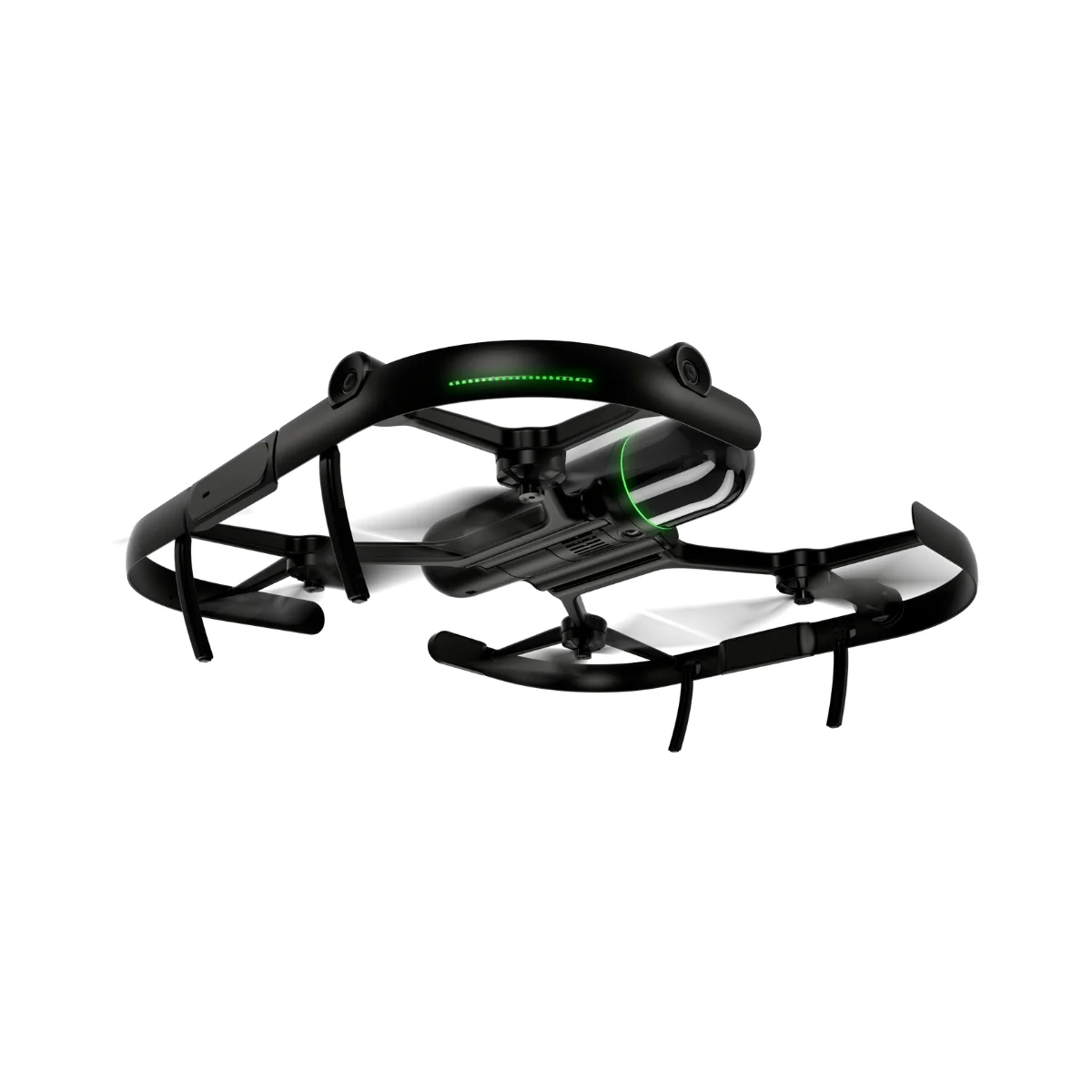
The Leica BLK2FLY is an autonomous flying laser scanner designed to simplify aerial reality capture through intelligent obstacle avoidance and automated flight. It enables efficient capture of building exteriors, structures, and surrounding environments to generate accurate 3D point clouds while operating fully in flight. Using a tablet-based interface, users can easily initiate autonomous exterior scans of buildings and complex features, including difficult-to-access areas such as rooftops and facades. Deployment is straightforward: unfold the system, power it on with a single button, place it on the ground, and it is ready for takeoff.
BLK2FLY autonomous flying laser scanner
- Enables scanning of hard-to-access exterior areas including building facades and rooftops
- Autonomously captures complete exterior datasets for the creation of 3D digital twins
- GrandSLAM sensor fusion combining LiDAR, radar, cameras, and GNSS to support full scan coverage, optimized flight paths, and efficient return-to-home operations
- Advanced obstacle avoidance designed to enhance flight safety in complex environments
- Hot-swappable battery system to support extended field operations
- Lightweight, portable design focused on ease of use
Users operate the BLK2FLY through the BLK2FLY Live App on a tablet, providing a simplified app-based flight experience without the need for prior UAV expertise. The app enables intuitive control of autonomous missions, including access to a live camera feed. Users can define scan areas directly on a map, allowing the system to automatically generate an optimized flight path for fast and safe data capture. Tap-to-scan functionality also allows users to initiate new scans by selecting areas directly within the 3D view.
The BLK2FLY Live App also supports manual flight using virtual joysticks on the tablet, ensuring continuous user control as a critical safety feature. For connectivity, the system integrates WLAN and LTE communication channels, providing reliable data exchange between the BLK2FLY and the tablet across extended operating ranges during flight.
The BLK2FLY is designed to streamline data transfer and collaboration across professional workflows. Scan data can be uploaded directly to Reality Cloud Studio, powered by HxDR, enabling cloud-based visualization, collaboration, and processing for shared access and download. Data can also be transferred to Leica Cyclone REGISTER 360 via USB-C or WLAN to support scan-to-BIM and advanced reality capture workflows.
For privacy reasons YouTube needs your permission to be loaded. For more details, please see our Privacy Policy.
Autonomous UAV Scanning
The BLK2FLY intelligently interprets its surrounding environment to plan and adapt its flight operations. It automatically maintains the optimal distance from surfaces for effective scanning and generates efficient flight routes, including optimized return-to-home paths.
GrandSLAM
BLK2FLY extends GrandSLAM technology by combining LiDAR SLAM, visual SLAM, radar, and GNSS. This multi-sensor fusion enables autonomous operation, accurate navigation, and reliable flight performance without complex user input.
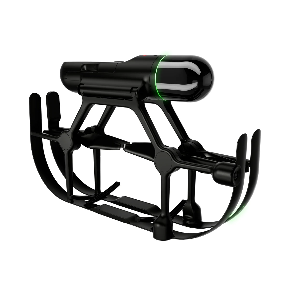
Full dome LiDAR sensor
The fully enclosed, full-dome laser scanner integrated into the BLK2FLY captures high-density 3D point cloud data in all directions during flight.
Complete scanning with advanced obstacle avoidance
Using omnidirectional radar and LiDAR, the BLK2FLY continuously detects and avoids obstacles, supporting uninterrupted data capture while maintaining safe and stable flight in complex environments.
Hot swap batteries
The hot swap battery system is designed to minimize downtime during scanning missions. When required, the BLK2FLY automatically returns for battery replacement and resumes scanning without restarting the workflow.
Portability
BLK2FLY features a lightweight design at 2.6 kg (5.95 lbs) and folds compactly into a dedicated transport case, allowing convenient mobility along with all required accessories.


Visit Official Manufacturer Page: Leica Geosystems
Leica Geosystems
Leica Geosystems Saudi Arabia – Precision Meets Innovation
Introduction
Leica Geosystems Saudi Arabia delivers unmatched precision, durability, and advanced geospatial performance for professionals across construction, infrastructure, mining, and agriculture. For over 200 years, Leica has pioneered surveying instruments, GNSS/GPS systems, laser scanners, and software platforms that empower projects worldwide.
Trusted Worldwide, Available Locally in Saudi Arabia
Founded in Switzerland, Leica Geosystems has built a legacy of engineering excellence. Now available in Saudi Arabia through authorized dealers, Leica Geosystems Saudi Arabia products are adapted for the region’s challenging environments—providing local support, training, and calibrated precision.
Innovation in Every Leica Geosystems Product
Ranging from sophisticated total stations and GNSS receivers to mobile mapping and high-definition laser scanners, Leica Geosystems Saudi Arabia offers real-time accuracy and seamless digital workflows that boost project efficiency and reduce field downtime.
Key Achievements & Milestones
-
Over 200 years of geomatics innovation
-
Inventor of the world’s first digital level and early laser distance meters
-
Reality capture systems deployed in 100+ countries
-
Trusted in major infrastructure, metro, and oil & gas surveying
-
Adopted by engineers, surveyors, and government agencies worldwide
Why Choose Leica Geosystems in Saudi Arabia?
-
Localized support: Technical assistance, training, and product availability through authorized dealers
-
Unmatched accuracy: Instruments deliver centimeter-level precision and durability
-
Comprehensive portfolio: Full range from DISTO distance meters to robotic total stations and reality capture systems
-
Smart integration: Compatible with Hexagon, Autodesk, and other industry-leading software platforms
Leica Product Range in KSA
-
Leica Total Stations – Manual and robotic total stations for construction and high-precision surveying.
-
Leica Mobile Mapping Systems – Pegasus TRK Neo, Pegasus:Backpack, BLK2GO for vehicle, wearable, and handheld 3D capture
-
Leica GPS & GNSS Equipment – GS18 I GNSS RTK rover, iCON GPS smart antennas offering tilt-compensated precision positioning
-
Ground Penetrating Radar (GPR) – Leica GPR solutions for accurate subsurface mapping
-
Leica Laser Scanners – ScanStation P‑Series, RTC360, BLK360, and BLK2FLY for HD 3D scanning and digital twin workflows
-
Leica DISTO & Leica Levels – Leica DISTO™ meter series and LINO/Rugby laser levels for point‑to‑point measurements and leveling
Leica Cyclone Software Portfolio
-
Cyclone REGISTER 360 PLUS – Guided workflows to register and visualize point cloud datasets with automation for efficient office workflows
-
Cyclone 3DR – End-to-end solution to analyze and model point clouds into actionable 3D deliverables
-
Cyclone Enterprise – On‑premise project and data management platform for centralized reality capture workflows
-
Cyclone Cloud – Subscription-based SaaS portal offering centralized license management and secure cloud-hosted service access
Get in Touch - Contact Us
Discover how Leica Geosystems Saudi Arabia solutions can elevate your next project. Reach out to your authorized local distributor to request demos, pricing, and expert consultation tailored to your requirements.
Official Website: www.leica-geosystems.com
Leica Geosystems is a world leader in precision surveying and geospatial solutions with over 200 years of expertise. From total stations and GNSS/GPS receivers to 3D laser scanning systems, Leica products deliver exceptional accuracy and reliability for construction, infrastructure, and mapping projects in Saudi Arabia and worldwide.