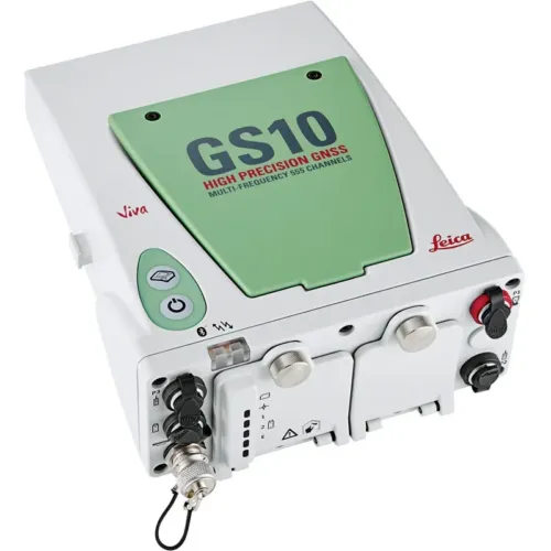
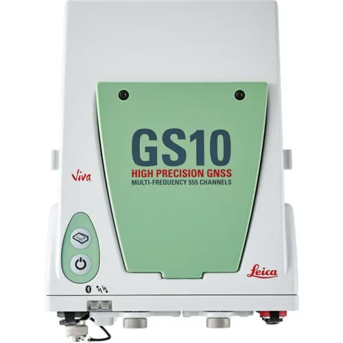
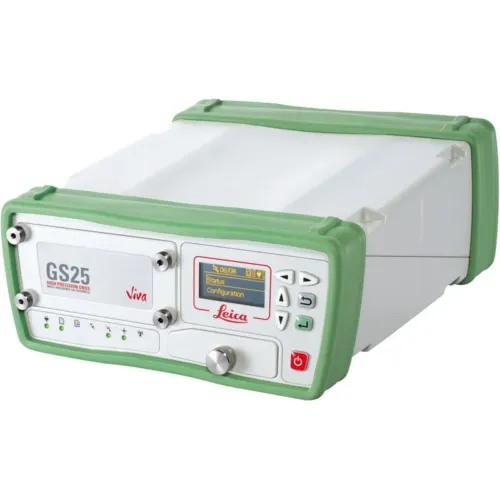
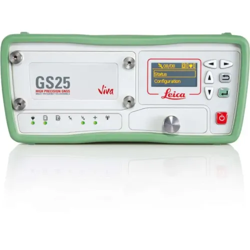
Leica GPS/GNSS receivers are professional positioning systems designed for high-accuracy surveying and geospatial applications across Saudi Arabia. Developed by Leica Geosystems, these receivers are built to deliver dependable performance in demanding field conditions where precision, reliability, and data consistency are essential.
Leica GNSS technology is widely used in professional surveying environments that require accurate positioning for land development, construction projects, and large-scale infrastructure works.
GNSS Receivers for Professional Surveying
GNSS receivers used in surveying applications must provide stable positioning results in environments with signal challenges such as urban areas, construction zones, and varied terrain. Leica GNSS receivers are engineered to support professional GPS GNSS surveying workflows by tracking multiple satellite systems and maintaining reliable accuracy over extended field operations.
This makes Leica GNSS receivers suitable for surveying professionals who require confidence in their measurements and long-term operational reliability.
GPS GNSS Surveying Applications in Saudi Arabia
GPS GNSS surveying plays a critical role in land surveying, construction layout, mapping, and geospatial data collection across Saudi Arabia. Leica GPS GNSS receivers are designed to support these applications by enabling precise positioning for projects that demand high standards of accuracy and repeatability.
Their proven performance supports surveying operations across infrastructure development, civil engineering, and geospatial projects throughout the Kingdom.
Reliable GNSS Positioning Solutions
Professional GNSS receivers must combine measurement accuracy with durability and workflow efficiency. Leica GNSS positioning solutions are designed to integrate smoothly into professional surveying environments, supporting consistent data collection and dependable results in both short-term and long-term projects.
This category presents Leica GPS/GNSS receiver solutions suitable for organizations seeking trusted surveying technology for demanding professional applications.
FAQs
What are GNSS receivers used for in surveying?
GNSS receivers are used in surveying to determine precise geographic positions for land measurement, construction layout, mapping, and geospatial data collection. They enable accurate positioning by receiving signals from multiple satellite systems.
What is the difference between GPS and GNSS in surveying applications?
GPS is a single satellite navigation system, while GNSS refers to the use of multiple satellite constellations. GNSS surveying provides improved accuracy, reliability, and signal availability compared to GPS-only positioning.
Are GNSS receivers suitable for surveying projects in Saudi Arabia?
Yes, GNSS receivers are widely used across Saudi Arabia for land surveying, infrastructure development, and construction projects. Multi-constellation GNSS technology supports reliable positioning in diverse terrain and urban environments.
How accurate are professional GNSS receivers for surveying?
Professional GNSS receivers used in surveying are designed to deliver high positioning accuracy when used within approved surveying workflows and correction methods. Accuracy depends on project requirements, environmental conditions, and surveying methodology.
What applications use GPS GNSS surveying technology?
GPS GNSS surveying is commonly used in land surveying, construction layout, mapping, geospatial data collection, and infrastructure projects where accurate and repeatable positioning is required.