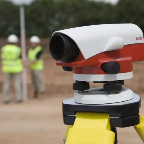

The Leica NA730 plus automatic level is the top of the NA700 series range and is very popular within the construction and building industry. It is known for its increased durability and accurate measuring on harsh working environments.
The NA730 plus is tough, it protected against impacts and can survive short drops, exposure to water and withstand vibrations caused by large machinery. With no need to constantly re-adjust this levelling instrument can continually work and measure precisely all day, every day.
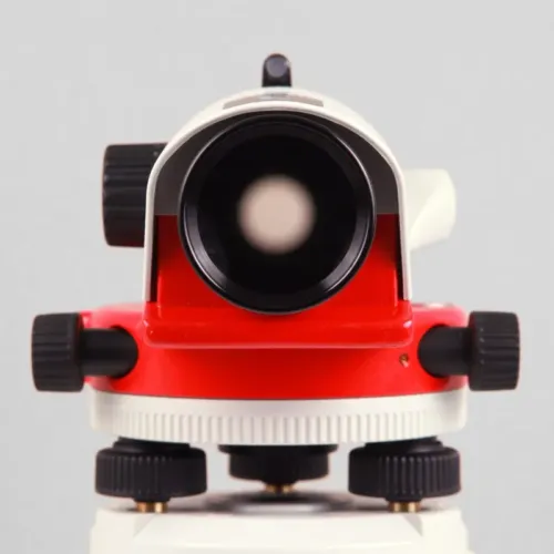
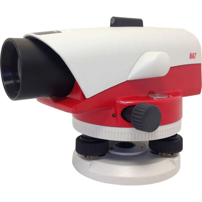
The horizontal circle and bubble are easily identified as they are positioned next to the external sight and telescope for easy targeting. The image is shown upright and the double sided endless drives provide accurate targeting. The NA730 plus also has exceptional optics which allow for short measuring in adverse light conditions, measuring distances and accurate aiming.
The increased robustness and durable features of the NA730 plus include dust and water protection. The build quality is second to none with tight seals and a gas filled telescope which aid protection against hazards should the instrument be dropped in to water for example.
Leica NA730 plus features include:
- 30x magnification
- Upright telescope image
- Gas filled telescope
- 40mm objective diameter
- 70cm short focus distance
- 360 degree / 400 gon selectable angle measurement
- 10’ / 2mm circular bubble
- Endless Horizontal Drive
- 1.2mm double run accuracy
- ± 15’ working range
- Water resistant
- –20 to +50 °C operating temperature
- 1.6kg total weight
- 21cm x 12cm x 12cm
Includes:
- Leica NA730 plus Automatic Level
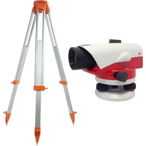
- Carry Case
- User Manual