Leica Disto D1 Laser Distance Meter

Contact Details

Old fashioned measuring tape versus laser precision? There’s no comparison.

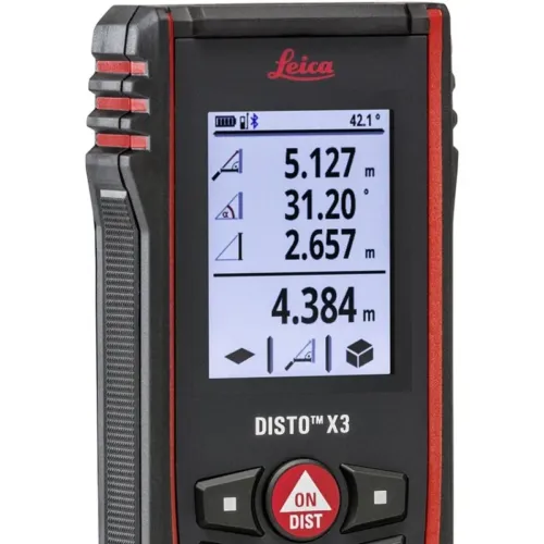
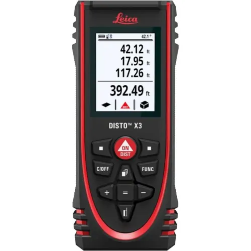
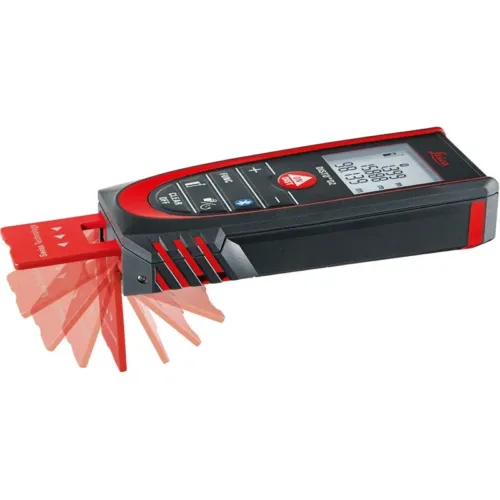
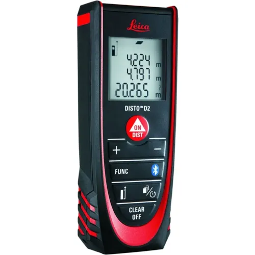
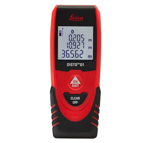
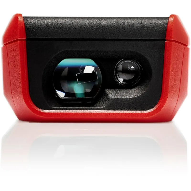
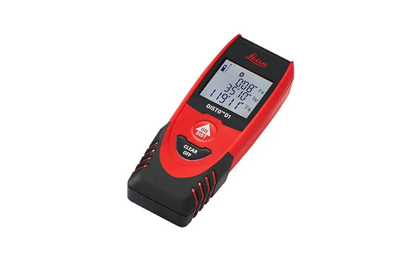
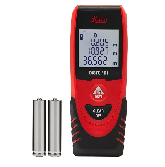
The Leica Disto D1 measures distances and heights of up to 40m like a pro and there’s no need of a ladder, a slack steel tape or a tired companion. You’ll get 2 mm accuracy with just one press of a button. It’ll save you time and reduce errors. Difficult or unsafe measuring situations are now in the past. The Leica Disto D1 provides professionals as well as DIY users with a fast, reliable and easy-to-use laser measuring tool. One measurement is enough and the result can be effortlessly read off the clear display.

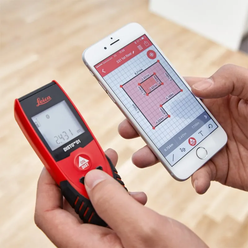
Just turn on the Bluetooth™ Smart enabled Leica D1 and it can connect with the Disto Sketch app. Create photos or sketches and dimension them with the results, which are transmitted directly to your tablet or smart phone. Plans are automatically completed with circumferences and areas. Disto Sketch integrates measurements into job-site sketches or project images to speed up workflows and finished jobs faster. Error-free information of projects is sent instantly back to the site or office.

Enjoy the convenience of modern simplicity with renowned Leica precision and quality. Compact and lightweight, the D1 is never out of reach.

Featured with

  • Bluetooth® Smart for data transfer to smart phones and tablets
  • Free App Leica DISTO™ sketch
  • 40meter range
  • XRange Power Technology
  • Clear, illuminated display
  • IP54 splash water and dust protected
SKU: 843418 Categories: ,

Description

The Leica DISTO™ D1 offers professionals as well as DIY users an easy-to-use laser measuring device. Turn the DISTO on, press the ON/DIST button and you’ve got a measurement. It’s easy as that.

Technical Specifications
Accuracy ± 2,0 mm
Range 0.2 – 40 m
Measuring units m, ft, in
X-Rang Power Technology Yes
Display illumination Yes
Free Disto Sketch App iOS, Android
Data interface Bluetooth® Smart
Battery life time up to 10‘000 measurements, up to 20h of operation
Batteries type AAA, 2 x 1,5 V
Protection class IP 54
Dimensions 115 x 43.5 x 23.5 mm
Weight with batteries 87 g

Brand

Leica Geosystems

Leica Geosystems Saudi Arabia – Precision Meets Innovation

Introduction

Leica Geosystems Saudi Arabia delivers unmatched precision, durability, and advanced geospatial performance for professionals across construction, infrastructure, mining, and agriculture. For over 200 years, Leica has pioneered surveying instruments, GNSS/GPS systems, laser scanners, and software platforms that empower projects worldwide.

Trusted Worldwide, Available Locally in Saudi Arabia

Founded in Switzerland, Leica Geosystems has built a legacy of engineering excellence. Now available in Saudi Arabia through authorized dealers, Leica Geosystems Saudi Arabia products are adapted for the region’s challenging environments—providing local support, training, and calibrated precision.

Innovation in Every Leica Geosystems Product

Ranging from sophisticated total stations and GNSS receivers to mobile mapping and high-definition laser scanners, Leica Geosystems Saudi Arabia offers real-time accuracy and seamless digital workflows that boost project efficiency and reduce field downtime.

Key Achievements & Milestones

  • Over 200 years of geomatics innovation

  • Inventor of the world’s first digital level and early laser distance meters

  • Reality capture systems deployed in 100+ countries

  • Trusted in major infrastructure, metro, and oil & gas surveying

  • Adopted by engineers, surveyors, and government agencies worldwide

Why Choose Leica Geosystems in Saudi Arabia?

  • Localized support: Technical assistance, training, and product availability through authorized dealers

  • Unmatched accuracy: Instruments deliver centimeter-level precision and durability

  • Comprehensive portfolio: Full range from DISTO distance meters to robotic total stations and reality capture systems

  • Smart integration: Compatible with Hexagon, Autodesk, and other industry-leading software platforms

Leica Product Range in KSA

  • Total Stations – Manual and robotic total stations for construction and high-precision surveying.

  • Mobile Mapping Systems – Pegasus TRK Neo, Pegasus:Backpack, BLK2GO for vehicle, wearable, and handheld 3D capture

  • GPS & GNSS Equipment – GS18 I GNSS RTK rover, iCON GPS smart antennas offering tilt-compensated precision positioning

  • Ground Penetrating Radar (GPR) – Leica GPR solutions for accurate subsurface mapping

  • Laser Scanners – ScanStation P‑Series, RTC360, BLK360, and BLK2FLY for HD 3D scanning and digital twin workflows

  • DISTO Laser Distance Meters & Levels – Leica DISTO™ meter series and LINO/Rugby laser levels for point‑to‑point measurements and leveling

Leica Cyclone Software Portfolio

  • Cyclone REGISTER 360 PLUS – Guided workflows to register and visualize point cloud datasets with automation for efficient office workflows

  • Cyclone 3DR – End-to-end solution to analyze and model point clouds into actionable 3D deliverables

  • Cyclone Enterprise – On‑premise project and data management platform for centralized reality capture workflows

  • Cyclone Cloud – Subscription-based SaaS portal offering centralized license management and secure cloud-hosted service access

Get in Touch - Contact Us

Discover how Leica Geosystems Saudi Arabia solutions can elevate your next project. Reach out to your authorized local distributor to request demos, pricing, and expert consultation tailored to your requirements.

Official Website: www.leica-geosystems.com

Leica Geosystems is a world leader in precision surveying and geospatial solutions with over 200 years of expertise. From total stations and GNSS/GPS receivers to 3D laser scanning systems, Leica products deliver exceptional accuracy and reliability for construction, infrastructure, and mapping projects in Saudi Arabia and worldwide.

Reviews

There are no reviews yet.

Only logged in customers who have purchased this product may leave a review.

Title

Go to Top