Leica High Definition Scanners (HDS)
SITML proudly delivers Leica High Definition Scanners (HDS) — the world’s most advanced 3D terrestrial laser scanning technology for construction, surveying, infrastructure, and industrial projects. As a result, these HDS systems set the global benchmark for accuracy, speed, and reliability. In addition, the scanners transform field data into actionable digital insights for streamlined design and planning.
World-Leading 3D Laser Scanning Solutions
Leica HDS technology captures millions of precise 3D points per second, enabling engineers, architects, and contractors to create as-built documentation, digital twins, and complex BIM models with exceptional clarity.
In particular, this technology supports large infrastructure development, industrial plant maintenance, and heritage documentation. Consequently, it transforms real-world conditions into actionable digital data.
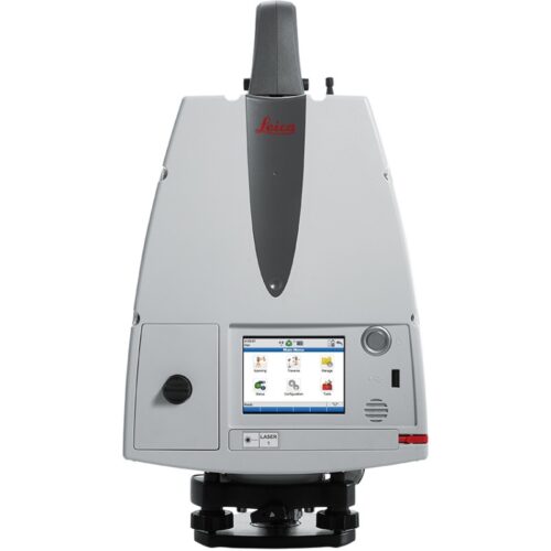
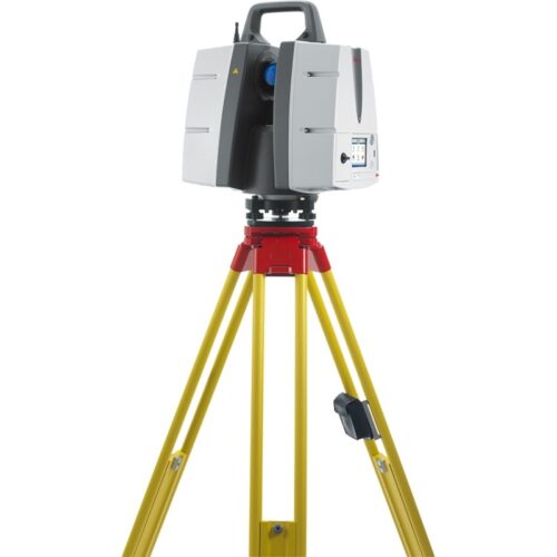
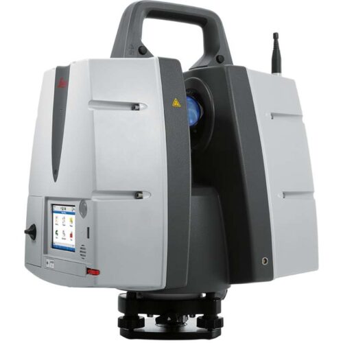
Leica ScanStation Portfolio
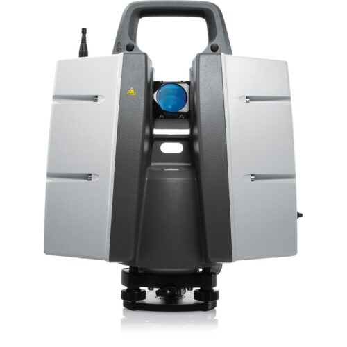
Leica ScanStation P40 & P30
Leica ScanStation P40 and P30 deliver sub-millimeter accuracy and long-range performance ideal for high-precision engineering and construction monitoring. Additionally, the robust design ensures seamless operation in harsh site conditions, ranging from urban developments to industrial facilities.
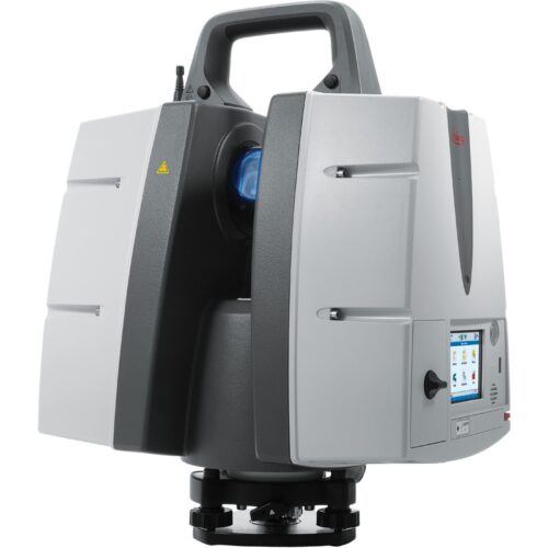
Leica ScanStation P50
Leica ScanStation P50 is the longest-range terrestrial laser scanner in its class, reaching targets up to 1 km away. As a result, this scanner is perfect for large-scale surveying, mining operations, and bridge or high-rise inspections, minimizing field time while ensuring unrivaled safety and efficiency.
Key Benefits of Leica HDS
-
Ultra-High Accuracy: Millimeter-level precision for demanding engineering tasks.
-
Fast Data Capture: Millions of points per second reduce site visits and project costs.
-
Seamless BIM Integration: Compatible with industry-standard CAD and BIM workflows.
-
Robust for Field Use: Engineered to perform reliably in challenging weather and terrain.
-
Comprehensive Support & Training: Expert service to maximize your investment.
Real-World Applications
-
Mega Infrastructure & Urban Development – Bridges, tunnels, railways, and smart city planning.
-
Construction & Civil Engineering – Precise as-built documentation and clash detection.
-
Oil, Gas & Industrial Plants – Detailed 3D models for maintenance and safety.
-
Cultural Heritage & Archaeology – Digitally preserve historical monuments and landmarks.
-
Mining & Geospatial Surveying – Large-area scanning with unmatched range and speed.
Why Choose SITML for Leica High Definition Scanners
As a world-class geospatial solutions provider, SITML combines cutting-edge Leica technology with expert technical support and project guidance. From system selection to training and long-term service, we ensure every HDS deployment achieves maximum precision, efficiency, and value.