Leica DS2000 Utility Detection Radar

Contact Details

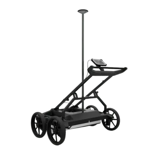
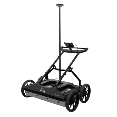
The world’s first self-learning MultiStation. The Leica Nova MS60 combines high-end total station functions with 3D laser scanning, precision imaging, and automated workflows—ideal for complex surveying, monitoring, and construction tasks.

The Leica Nova MS60 is the only instrument on the market that integrates a high-precision robotic total station, 3D laser scanner, GNSS connectivity, and high-resolution imaging in a single powerful device. Engineered for professionals working in surveying, construction, infrastructure, and monitoring across Saudi Arabia, the MS60 delivers exceptional flexibility, automated performance, and real-time data visualization.

With its auto-adjusting measurement parameters, the MS60 adapts to any site conditions and learns from its environment, increasing efficiency and accuracy. Capture full-dome scan data in just minutes, combine with GNSS for geo-referenced positioning, and process results with Leica Captivate or Cyclone software.

Whether you’re working on mega infrastructure projects in Riyadh, urban monitoring in Jeddah, or precision layouts in industrial zones, the Leica MS60 delivers survey-grade results and maximum productivity—backed by SITML, your authorized Leica Geosystems distributor and service center in Saudi Arabia.

SKU: Leica DS2000 Category:

Description

Uncovering safer, faster, more

Know What’s Below Before You Break Ground

Beneath the surface lies a network of potential hazards—pipes, fibre optics, and other buried infrastructure. The Leica DS2000 Utility Detection Radar helps you locate these hidden assets with precision, minimizing risk before excavation begins. Whether detecting conductive or non-conductive materials, the DS2000 enhances jobsite safety, efficiency, and asset protection.


Boost Safety, Improve Workflow, and Reduce Costs

With the DS2000, you gain a clear view of what’s underground—helping you avoid costly damage and delays. By preventing unplanned outages and improving site awareness, it enhances operational speed and reduces the cost of asset management.


Key Advantages

  • Enhanced safety: Identify both shallow and deep underground threats to avoid accidental damage.

  • Faster response: Pinpoint utility locations to reduce downtime and speed up recovery during outages.

  • Dual-frequency radar: Detects subsurface objects at varying depths simultaneously.

  • User-friendly software: Simple, intuitive interface ensures data is easy to collect, visualize, and understand.

  • Efficient data handling: Store and export data effortlessly for continued analysis back at the office.

  • Ergonomic design: Navigate complex terrain easily with the DS2000’s maneuverable and rugged build.

  • Global expertise: Supported by Leica Geosystems’ network of over 270 service centres worldwide.

  • PROTECT by Leica Geosystems: Industry-leading warranty coverage for peace of mind.


Complete Underground Mapping Solution

The DS2000 becomes even more powerful when paired with Leica’s advanced technologies, including the CT1000 rugged field tablet, GG04 Plus or GPS60 smart antennas, and the DD SMART Series cable locators and transmitters. Together, they form a comprehensive detection and underground mapping system that boosts productivity and accuracy. With IQMaps software, you can take your data further—perform in-depth analysis and export results directly into CAD for post-processing.


Get Started Today

Reach out to your local Leica Geosystems distribution partner to learn more about the DS2000 and how it can support your detection and underground mapping needs.

Brand

Leica Geosystems

Leica Geosystems Saudi Arabia – Precision Meets Innovation

Introduction

Leica Geosystems Saudi Arabia delivers unmatched precision, durability, and advanced geospatial performance for professionals across construction, infrastructure, mining, and agriculture. For over 200 years, Leica has pioneered surveying instruments, GNSS/GPS systems, laser scanners, and software platforms that empower projects worldwide.

Trusted Worldwide, Available Locally in Saudi Arabia

Founded in Switzerland, Leica Geosystems has built a legacy of engineering excellence. Now available in Saudi Arabia through authorized dealers, Leica Geosystems Saudi Arabia products are adapted for the region’s challenging environments—providing local support, training, and calibrated precision.

Innovation in Every Leica Geosystems Product

Ranging from sophisticated total stations and GNSS receivers to mobile mapping and high-definition laser scanners, Leica Geosystems Saudi Arabia offers real-time accuracy and seamless digital workflows that boost project efficiency and reduce field downtime.

Key Achievements & Milestones

  • Over 200 years of geomatics innovation

  • Inventor of the world’s first digital level and early laser distance meters

  • Reality capture systems deployed in 100+ countries

  • Trusted in major infrastructure, metro, and oil & gas surveying

  • Adopted by engineers, surveyors, and government agencies worldwide

Why Choose Leica Geosystems in Saudi Arabia?

  • Localized support: Technical assistance, training, and product availability through authorized dealers

  • Unmatched accuracy: Instruments deliver centimeter-level precision and durability

  • Comprehensive portfolio: Full range from DISTO distance meters to robotic total stations and reality capture systems

  • Smart integration: Compatible with Hexagon, Autodesk, and other industry-leading software platforms

Leica Product Range in KSA

  • Total Stations – Manual and robotic total stations for construction and high-precision surveying.

  • Mobile Mapping Systems – Pegasus TRK Neo, Pegasus:Backpack, BLK2GO for vehicle, wearable, and handheld 3D capture

  • GPS & GNSS Equipment – GS18 I GNSS RTK rover, iCON GPS smart antennas offering tilt-compensated precision positioning

  • Ground Penetrating Radar (GPR) – Leica GPR solutions for accurate subsurface mapping

  • Laser Scanners – ScanStation P‑Series, RTC360, BLK360, and BLK2FLY for HD 3D scanning and digital twin workflows

  • DISTO Laser Distance Meters & Levels – Leica DISTO™ meter series and LINO/Rugby laser levels for point‑to‑point measurements and leveling

Leica Cyclone Software Portfolio

  • Cyclone REGISTER 360 PLUS – Guided workflows to register and visualize point cloud datasets with automation for efficient office workflows

  • Cyclone 3DR – End-to-end solution to analyze and model point clouds into actionable 3D deliverables

  • Cyclone Enterprise – On‑premise project and data management platform for centralized reality capture workflows

  • Cyclone Cloud – Subscription-based SaaS portal offering centralized license management and secure cloud-hosted service access

Get in Touch - Contact Us

Discover how Leica Geosystems Saudi Arabia solutions can elevate your next project. Reach out to your authorized local distributor to request demos, pricing, and expert consultation tailored to your requirements.

Official Website: www.leica-geosystems.com

Leica Geosystems is a world leader in precision surveying and geospatial solutions with over 200 years of expertise. From total stations and GNSS/GPS receivers to 3D laser scanning systems, Leica products deliver exceptional accuracy and reliability for construction, infrastructure, and mapping projects in Saudi Arabia and worldwide.

Reviews

There are no reviews yet.

Only logged in customers who have purchased this product may leave a review.

Title

Go to Top