Leica Disto D810 Touch Laser Distance Meter

Contact Details

The world’s first ever laser distance meter with a touchscreen, the Leica DISTO™ D810 Touch is here. This all new Disto features an improved, intuitive and faster operation with the revolutionary feature ‘measure with a picture’ which determines distances using its built in hi resolution camera. The camera also allows for pictures to be taken and transferred to a computer easily using a USB system. The ‘Leica DISTO™ sketch’ app, which is available to download for free, improves and completes functionality.

Leica Disto Sketch is the ideal interface between a DISTO and smart phone or tablet. They allow sketches or photographs to be created and dimensioned quickly, or the transfer of measurements into a chart. The data can be sent to the office by e-mail. This simplifies and speeds up your workflow.

Features of the Leica DISTO™ D810 touch includes:

  • Intuitive Touchscreen
  • 4x Zoom Pointfinder
  • Hi-Resolution Camera
  • Measure with an Camera Picture
  • 360° Accurate Tilt Sensor
  • Smart Horizontal Mode™
  • Height Tracking
  • Bluetooth Smart
  • Free Leica DISTO™ sketch App
  • Battery (Li-Ion)

Supplied with

  • Leica DISTO™ D810 touch laser distance meter
  • Holster
  • Hand loop
  • USB charger incl. 4 plugs
SKU: 792297 Categories: ,

Description

New feature – Measure with a picture

Determine the height, width, area or the diameter of an item using this outstanding new feature. With just a single right angle measurement of an object is all that is needed. Using two arrows the required dimension is marked on the image displayed and the measured result is then shown on screen.

Impressive Touch Screen

The new and extremely responsive touchscreen is easy to use and makes for very intuitive operation. All features are quickly and easily accessed using standard gestures including swipe and zoom using fingers. The new touchscreen also allows for measurements to be taken directly.

Document using pictures

The in-built camera on the Leica Disto D810 touch is able to take screenshots and pictures which can then be transferred to a computer using the USB device to document project work with just one click of a button. The feature can be used to make sure that measured points are not unintentionally lost.

Increased Accuracy

Included with the Leica Disto D810 touch is the uniquely designed tilt sensor which makes sure that the results provided are extremely accurate. Many different indirect measuring services when the Disto D810 touch is used with a Leica TRI100 tripod with fine drive.

Leica Disto Sketch App

The free Leica DISTO™ app sketch facilitates the creation of tables or ground plans using an iPhone, iPad or iPad mini. Dimensions can be added to photographs to produce great visuals with no effort at all.

Bluetooth® Smart with App

The Leica DISTO™ D810 Touch is more than a measuring tool. Using Bluetooth® Smart Technology your measurements can be transferred to other devices using the integral Bluetooth® Smart Technology.

ISO 16331-1 – The Standard for Laser Distance Meters

The range and accuracy of laser distance meters are dependent on light conditions and on the reflectivity of the measuring target. Leica Geosystems’ laser distance meters perform in perfect conditions but also in the everyday working environment.

Brand

Leica Geosystems

Leica Geosystems Saudi Arabia – Precision Meets Innovation

Introduction

Leica Geosystems Saudi Arabia delivers unmatched precision, durability, and advanced geospatial performance for professionals across construction, infrastructure, mining, and agriculture. For over 200 years, Leica has pioneered surveying instruments, GNSS/GPS systems, laser scanners, and software platforms that empower projects worldwide.

Trusted Worldwide, Available Locally in Saudi Arabia

Founded in Switzerland, Leica Geosystems has built a legacy of engineering excellence. Now available in Saudi Arabia through authorized dealers, Leica Geosystems Saudi Arabia products are adapted for the region’s challenging environments—providing local support, training, and calibrated precision.

Innovation in Every Leica Geosystems Product

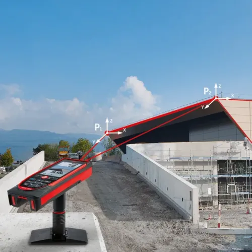
Ranging from sophisticated total stations and GNSS receivers to mobile mapping and high-definition laser scanners, Leica Geosystems Saudi Arabia offers real-time accuracy and seamless digital workflows that boost project efficiency and reduce field downtime.

Key Achievements & Milestones

  • Over 200 years of geomatics innovation

  • Inventor of the world’s first digital level and early laser distance meters

  • Reality capture systems deployed in 100+ countries

  • Trusted in major infrastructure, metro, and oil & gas surveying

  • Adopted by engineers, surveyors, and government agencies worldwide

Why Choose Leica Geosystems in Saudi Arabia?

  • Localized support: Technical assistance, training, and product availability through authorized dealers

  • Unmatched accuracy: Instruments deliver centimeter-level precision and durability

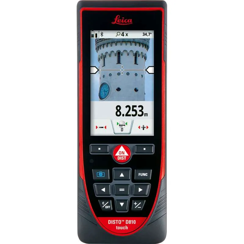
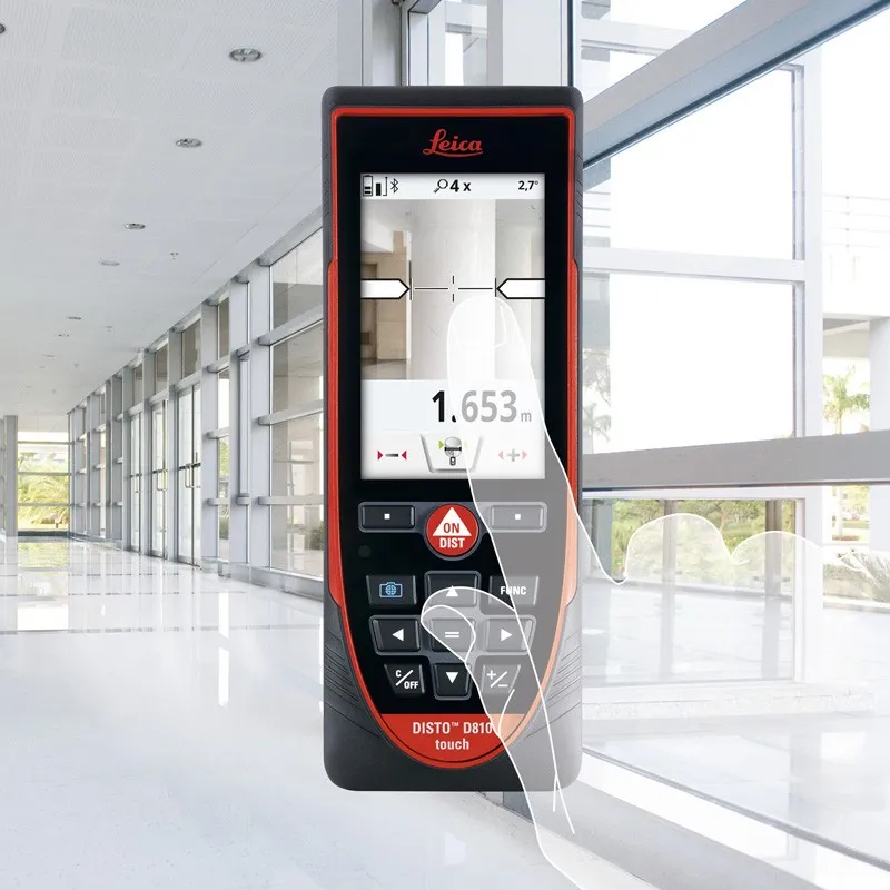
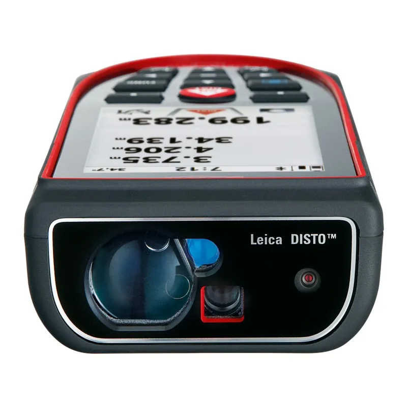
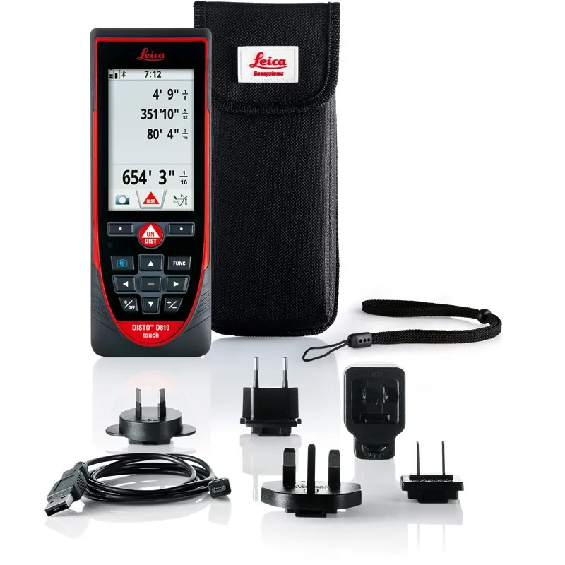
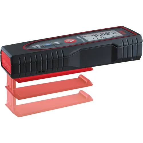
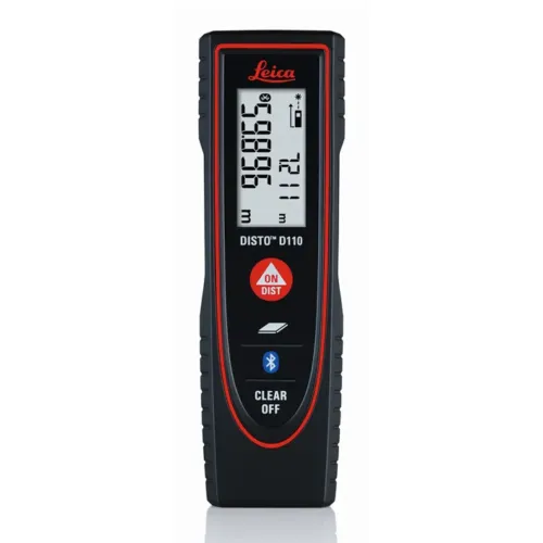
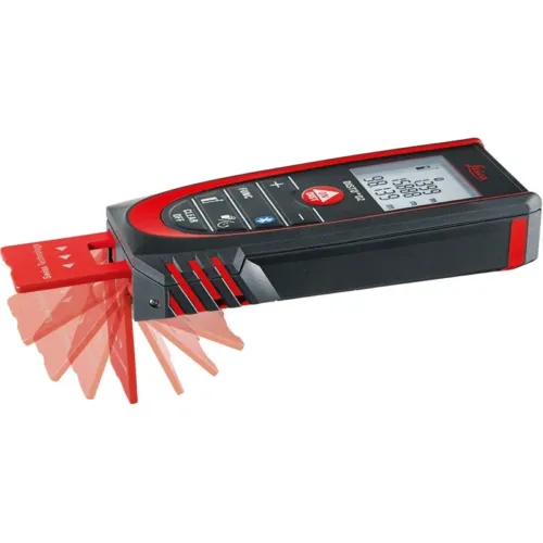
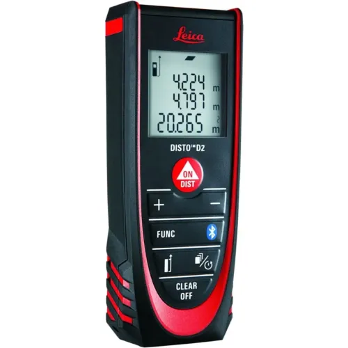
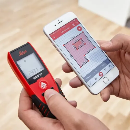
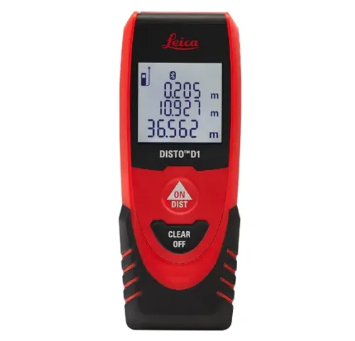
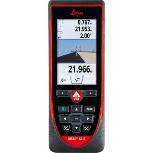
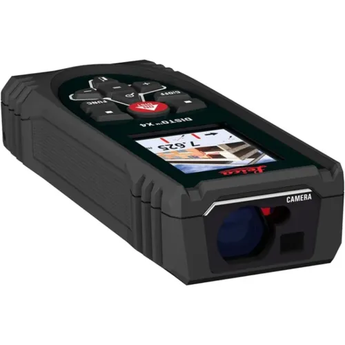
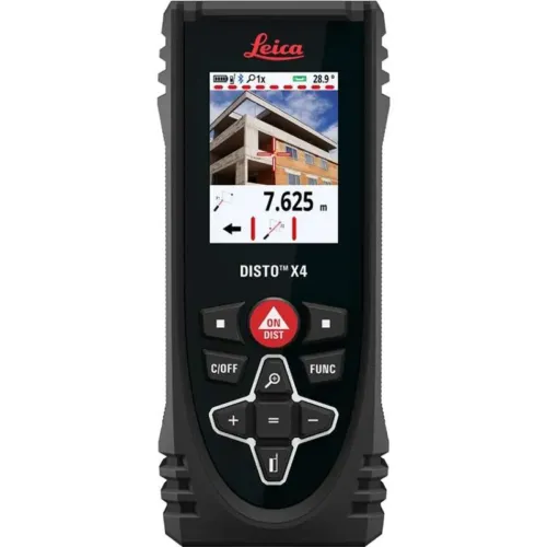
  • Comprehensive portfolio: Full range from DISTO distance meters to robotic total stations and reality capture systems

  • Smart integration: Compatible with Hexagon, Autodesk, and other industry-leading software platforms

Leica Product Range in KSA

  • Total Stations – Manual and robotic total stations for construction and high-precision surveying.

  • Mobile Mapping Systems – Pegasus TRK Neo, Pegasus:Backpack, BLK2GO for vehicle, wearable, and handheld 3D capture

  • GPS & GNSS Equipment – GS18 I GNSS RTK rover, iCON GPS smart antennas offering tilt-compensated precision positioning

  • Ground Penetrating Radar (GPR) – Leica GPR solutions for accurate subsurface mapping

  • Laser Scanners – ScanStation P‑Series, RTC360, BLK360, and BLK2FLY for HD 3D scanning and digital twin workflows

  • DISTO Laser Distance Meters & Levels – Leica DISTO™ meter series and LINO/Rugby laser levels for point‑to‑point measurements and leveling

Leica Cyclone Software Portfolio

  • Cyclone REGISTER 360 PLUS – Guided workflows to register and visualize point cloud datasets with automation for efficient office workflows

  • Cyclone 3DR – End-to-end solution to analyze and model point clouds into actionable 3D deliverables

  • Cyclone Enterprise – On‑premise project and data management platform for centralized reality capture workflows

  • Cyclone Cloud – Subscription-based SaaS portal offering centralized license management and secure cloud-hosted service access

Get in Touch - Contact Us

Discover how Leica Geosystems Saudi Arabia solutions can elevate your next project. Reach out to your authorized local distributor to request demos, pricing, and expert consultation tailored to your requirements.

Official Website: www.leica-geosystems.com

Leica Geosystems is a world leader in precision surveying and geospatial solutions with over 200 years of expertise. From total stations and GNSS/GPS receivers to 3D laser scanning systems, Leica products deliver exceptional accuracy and reliability for construction, infrastructure, and mapping projects in Saudi Arabia and worldwide.

Reviews

There are no reviews yet.

Be the first to review “Leica Disto D810 Touch Laser Distance Meter”

Title

Go to Top