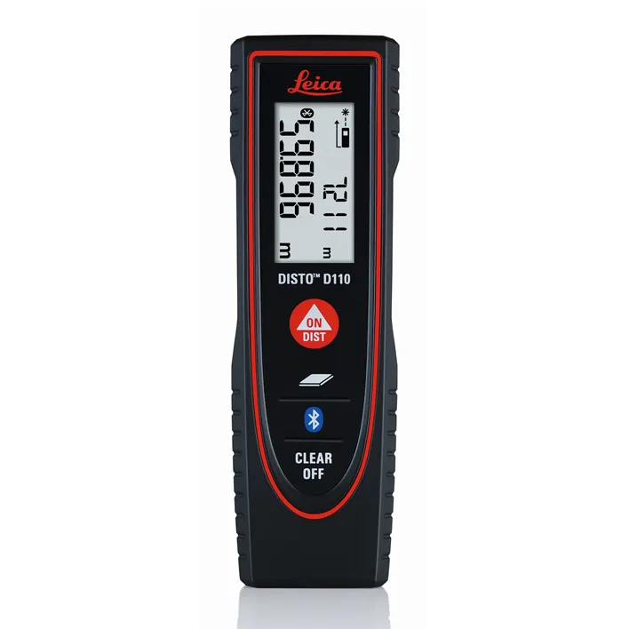
The New Leica Disto D110 is the smallest Disto with Bluetooth Smart on the market. Create floor plans and sketches very easily by connecting the new Leica D110 with the DISTO Sketch app on a Smartphone or tablet device.
Leica Disto Sketch is the ideal interface between a DISTO and smart phone or tablet. They allow sketches or photographs to be created and dimensioned quickly, or the transfer of measurements into a chart. The data can be sent to the office by e-mail. This simplifies and speeds up your workflow.
Benefits of the Leica Disto D110:
- New ergonomic design for easy use
- Increased functionality with integrated Bluetooth Smart technology and Leica Disto Sketch app
- Perfect for fast indoor distance and area measurements
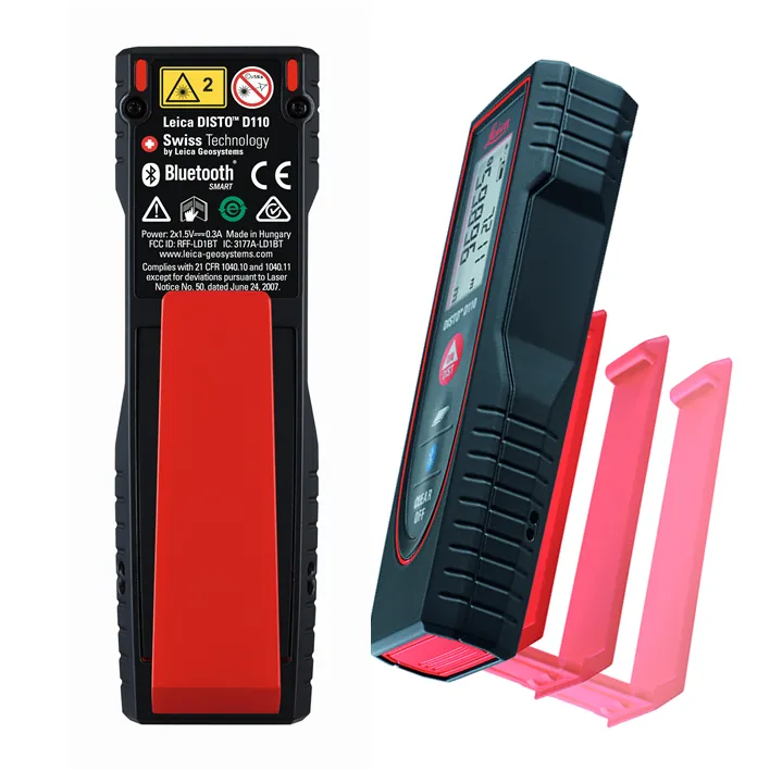
- Pocket clip to help with carrying
- Proven Leica quality and precision
This is the first laser Disto with Bluetooth technology that’s small and fits in a pocket.
Effortless measurements can be taken whether it’s for a quick material estimation or a home improvement project, the Disto Sketch App provides potential to create floor plans, sketches and document measurements with pictures using a tablet or smartphone.
- Measure precise distances with ±1.5mm accuracy
- Measure up to 60m distances without moving
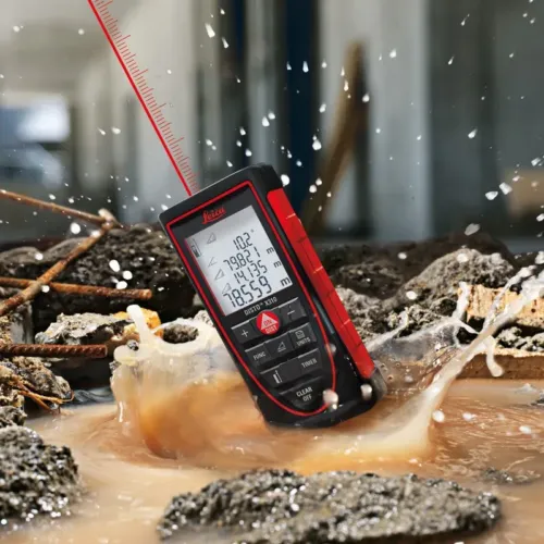
- Ideal for the jobsite – Protected against splash water and dust
Document results with the Disto Sketch App for faster, easier and safer work. The App is available for free download from Google Play and the App Store for Android and iOS devices.
The lightest and smallest Disto in the range, its ergonomic design means that it fits in your hand perfectly and is very comfortable to use. The simple to understand button allow intuitive and quick operation. Measuring has never been easier. The removable pocket clip is a valued accessory, simply clip the device to the pocket of your shirt or trousers for convenient use.
Technical Data
- Measuring Accuracy: ±1.5mm
- Range: 60m
- Measuring units: m, ft, in
- Includes: Power Range Technology, Illuminated Display, Free App
- Batteries: 2x AAA
- Protection Class: IP54 (splash water and dust)
- Dimensions: 120x37x23mm
- Weight: 92g
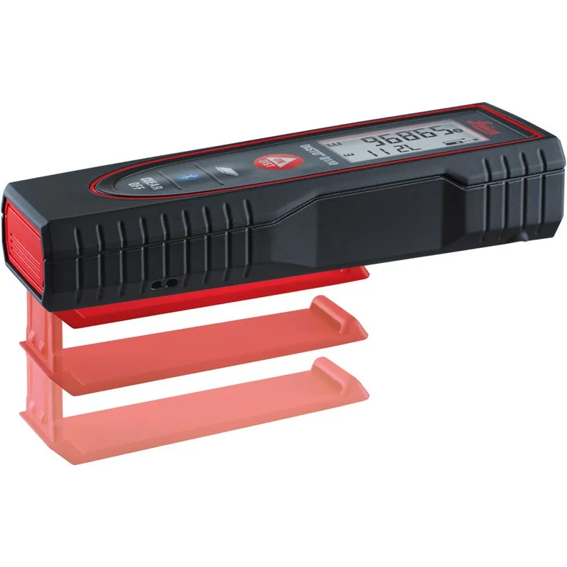
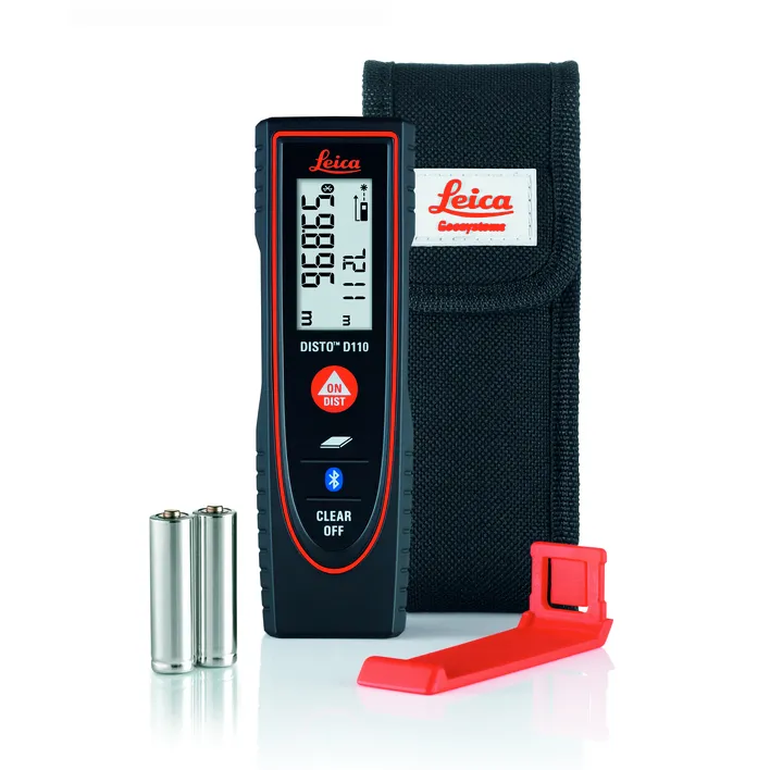
Includes:
- Leica DISTO D110 Laser Distance Meter
- Pocket Clip
- Holster
- 2x AAA Batteries.