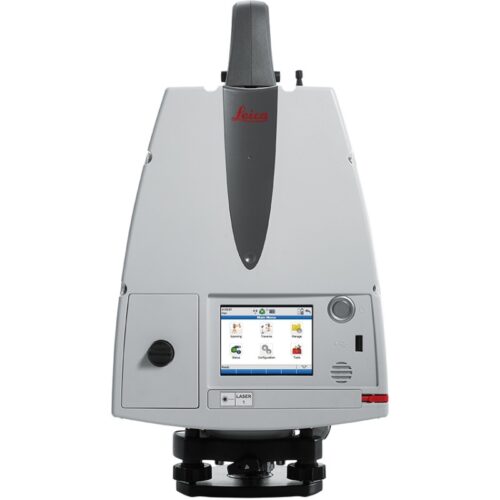
We supply a selection of industry-leading scanners and software to industry professionals to create the most realistic digital environment for the most accurate planning. Focussing on energy efficient and safe construction, Leica Geosystems reality capture laser scanners and mobile mapping solutions.
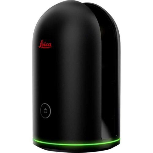
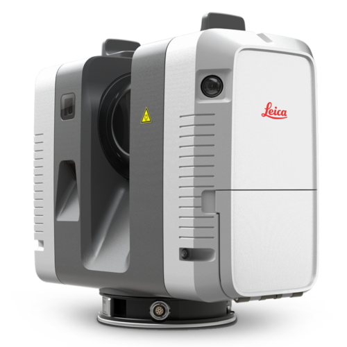
The Leica BLK360 captures the world around you with full-colour panoramic images overlaid on a high-accuracy point cloud. Simple to use with just the single push of one button, the BLK360 is the smallest and lightest in the world.
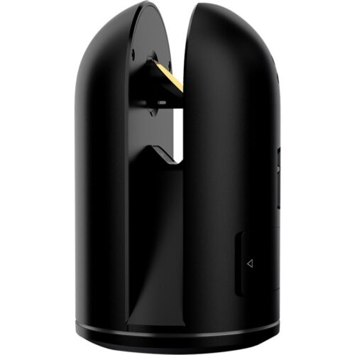
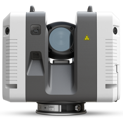
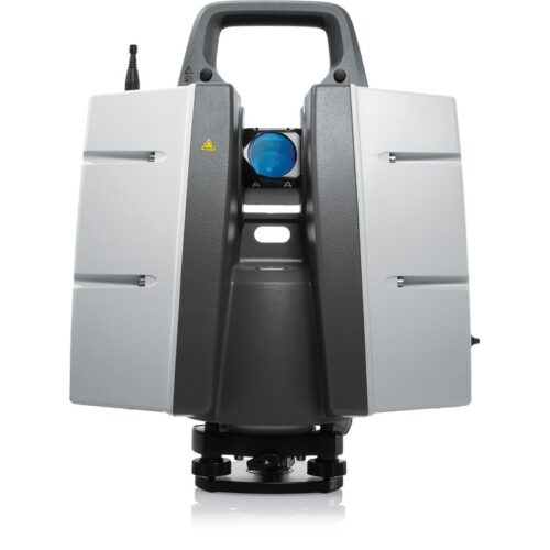
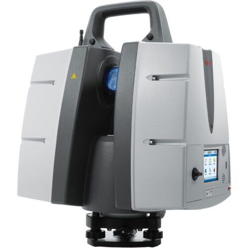
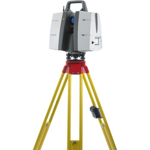
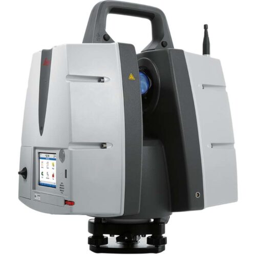
The Leica RTC360 is a new ultra-fast medium-sized 3D laser scanner designed to quickly capture rich data while simplifying both in field and in office workflows. It captures scans, and High-Dynamic Range (HDR) imagery in less than two minutes while simultaneously recording the scanner’s movement from station to station to pre-register scans without manual intervention. Combined with Cyclone FIELD 360 software for automated registration in the field, the Leica RTC360 reality capture scanner offers outstanding precision that can be checked on-site.