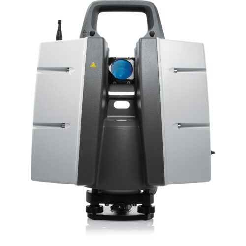
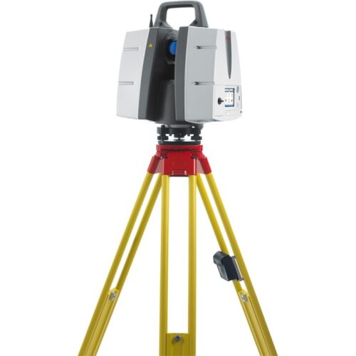
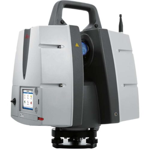
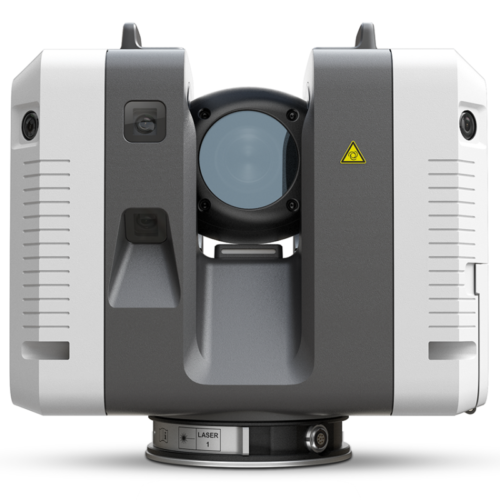
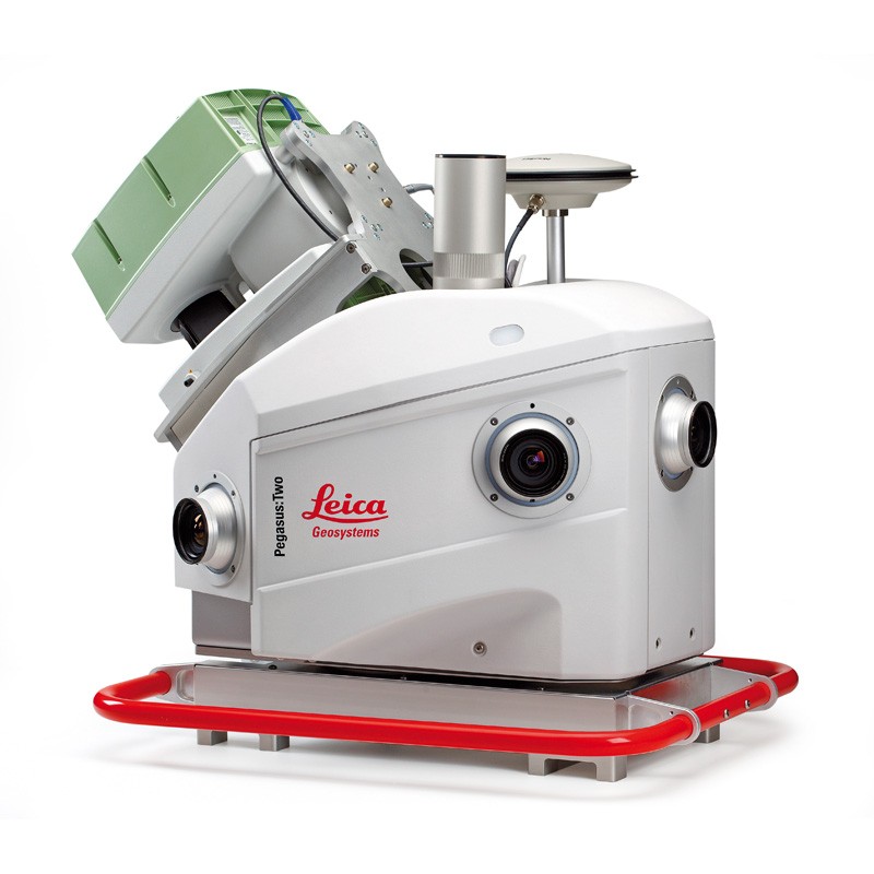
Leica Pegasus:Two

Mobile Mapping Solution

Limited only by imagination – data efficient, vehicle independent, multiple sensory platform.

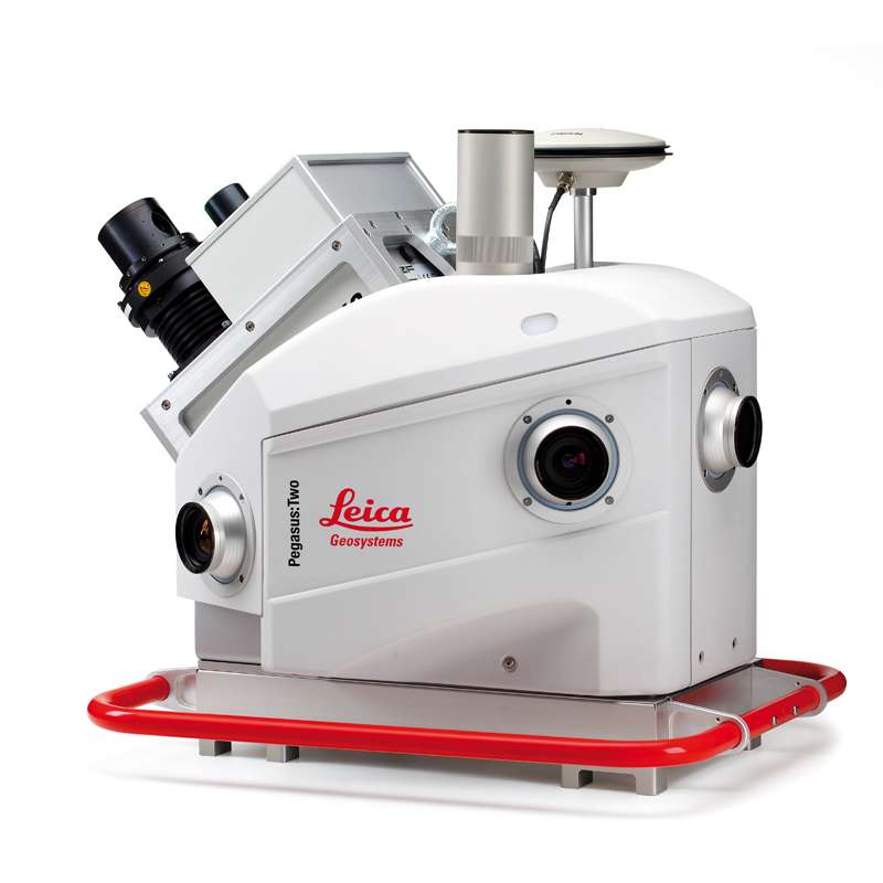
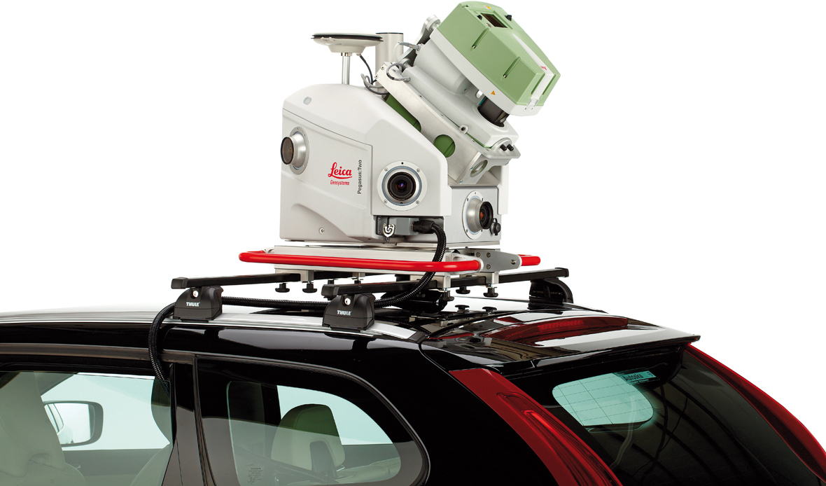
Leica Pegasus Two is a comprehensive portable mapping answer from hardware to target extraction from Leica. The Leica Pegasus Two solution delivers an integrated hardware platform which includes cameras and lidar profilers with an exterior activate and sync output for further sensors. Dedicated, adapted vehicles are not required and with batteries included measuring is limitless.

Never forget

The Leica Pegasus Two records calibrated images and point cloud data collectively – ensuring no object is overlooked. Taking full 360° spherical views and lidar jointly means you will never overlook an object. Leica Pegasus Two delivers an possible rear end road camera for pavement evaluation providing choices to develop your business.

Comprehensive and simple

Permitted by a comprehensive software workflow with data attainment, calibration, object extraction, Novatel empowered post-processing, and a GIS assisted configurable layered storage the Leica Pegasus Two is your distinct, trouble-free answer. A hardware light sensor guarantees the operative that all imagery is useable after processing.

  • Light sensor for automatic balance and brightness control for capturing imagery
  • Completely calibrated spherical view through dome camera for city modelling
  • Brings together visuals and point cloud figures into a single platform
  • Exterior trigger output and time imprinting for extra sensors
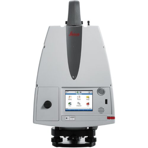
  • Scanners and profilers can be added independently, and regulated by the operator
  • No devoted, adapted vehicles are required
  • Software allows access to Esri® ArcGIS for Desktop
  • Superior GNSS receiver takes advantage of global constellations
  • Capture and manage 3 Dimensional spatial objects from visual imagery or from within the point cloud
  • Cost-effective with data information
SKU: Leica-Pegasus-Two Category:

Description

Hardware features

  • Well-suited with a range of profilers
  • Greatest sensor to pixel in the market
  • Six 4 MB cameras located to capture 360° x 270° view and optional road and sky cameras
  • Operator adaptable attainment breaks based on the distance travelled
  • Operator adaptable camera alignment
  • NovAtel ProPak6™ delivers a sophisticated GNSS receiver with a tough field established IMU for location accuracy of 20 mm RMS after 10 secs of outage
  • Contains L-Band, QZSS, and SBAS for GPS, Galileo, BeiDou, and GLONASS constellations
  • Transportable system fitting into carrying cases
  • Battery based
  • Multi-core PC, SSD, USB3, Ethernet, and wireless connection

Software features

  • Semi-automatic tools
  • Pavement investigation
  • Sequenced videos and images
  • Software pointer snaps continuously onto the point cloud data from inside an image
  • Instant access to point clouds for an precise measurement
  • Elective 3 Dimensional stereoscopic view
  • Missing 3D points can be obtained through photogrammetric procedures
  • Data capture shows the existing location of the vehicle based on a GIS interface
  • Data capture shows all cameras live
  • Data capture allows laser scanner administration and GNSS processing
  • Live monitoring of system throughout data acquirement

Software benefits

  • Digitize objects during mobile mapping
  • A natural approach for amateur operators while offering a specialised interface for more advanced users
  • Lidar precision with image usability
  • Scalable to your uses
  • Object Recognition with advanced features including street sign recognition and object distorting
  • Less critical Point cloud density with image incorporation
  • Short data achievement time
  • High achievement throughput
  • Adaptable licence options
  • Esri® ArcGIS for Desktop friendly
  • Leverages Esri interpersonal platform

Reviews

There are no reviews yet.

Be the first to review “Leica Pegasus:Two”

This site uses Akismet to reduce spam. Learn how your comment data is processed.

Title

Go to Top